435851 Highway 20 Newport, WA 99156
Estimated Value: $607,000 - $1,126,000
5
Beds
3
Baths
3,914
Sq Ft
$227/Sq Ft
Est. Value
About This Home
This home is located at 435851 Highway 20, Newport, WA 99156 and is currently estimated at $888,225, approximately $226 per square foot. 435851 Highway 20 is a home located in Pend Oreille County with nearby schools including Stratton Elementary School, Sadie Halstead Middle School, and Newport High School.
Ownership History
Date
Name
Owned For
Owner Type
Purchase Details
Closed on
Oct 27, 1969
Bought by
Pack Earl John
Current Estimated Value
Create a Home Valuation Report for This Property
The Home Valuation Report is an in-depth analysis detailing your home's value as well as a comparison with similar homes in the area
Home Values in the Area
Average Home Value in this Area
Purchase History
| Date | Buyer | Sale Price | Title Company |
|---|---|---|---|
| Pack Earl John | -- | -- |
Source: Public Records
Tax History Compared to Growth
Tax History
| Year | Tax Paid | Tax Assessment Tax Assessment Total Assessment is a certain percentage of the fair market value that is determined by local assessors to be the total taxable value of land and additions on the property. | Land | Improvement |
|---|---|---|---|---|
| 2024 | $5,049 | $641,170 | $142,200 | $498,970 |
| 2023 | $5,049 | $607,292 | $128,175 | $479,117 |
| 2022 | $5,817 | $594,855 | $128,175 | $466,680 |
| 2021 | $5,944 | $576,745 | $128,175 | $448,570 |
| 2020 | $5,267 | $570,193 | $128,175 | $442,018 |
| 2019 | $2,998 | $486,084 | $113,138 | $372,946 |
| 2018 | $3,231 | $285,506 | $80,125 | $205,381 |
| 2017 | $2,999 | $279,686 | $77,125 | $202,561 |
| 2016 | $2,778 | $279,418 | $0 | $0 |
| 2015 | $2,635 | $0 | $0 | $0 |
| 2013 | $2,635 | $0 | $0 | $0 |
Source: Public Records
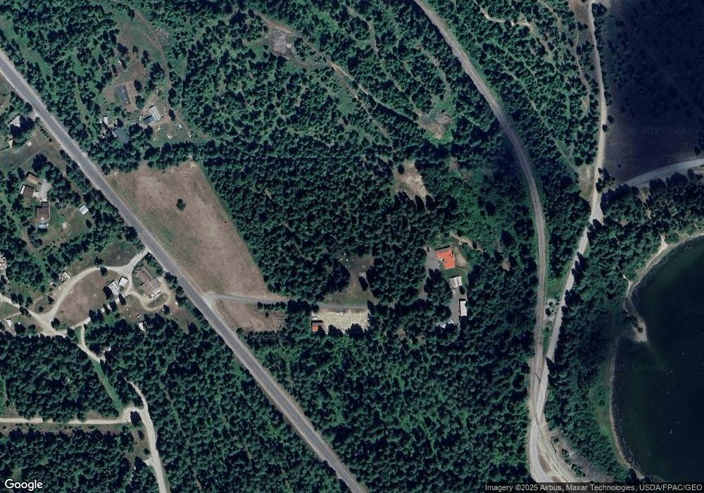
Map
Nearby Homes
- 701 Happy Trails Ln
- 816 Ashenfelter Bay Rd
- 525 Quail Loop
- 826 Thomas Ln
- 504 Quail Loop
- 411 Happy Trails Ln Unit Lot 2
- 535 W Ash St
- 571 Quail Loop
- 620 Highway 20
- 631 N Warren Ave
- 424 W Larch St
- 1001 W Walnut St
- 501 Gun Club Rd Unit Lot 9
- 6201 A Le Clerc Creek Rd
- NKA N Union Ave
- 207 Mcavoy Rd
- NNA Deer Valley Rd
- 101 S Scott Ave
- 1401 W 1st St
- 0 Deer Valley Rd
- 435851 Washington 20
- 435812 Highway 20
- 435712 Highway 20
- 981 Ashenfelter Bay Rd
- 821 Laurelhurst Dr
- 435672 State Route 20
- 190 Carole Ln
- 153 Carole Ln
- 1412 Ashenfelter Bay Rd
- 0 Ashenfelter Bay Rd
- 1542 Ashenfelter Bay Rd
- 1382 Ashenfelter Bay Rd
- 1462 Ashenfelter Bay Rd
- 1472 Ashenfelter Bay Rd
- 1472 Ashenfelter Bay Rd
- 1302 Ashenfelter Bay Rd
- 1502 Ashenfelter Bay Rd
- 1492 Ashenfelter Bay Rd
- 1342 Ashenfelter Bay Rd
- 1512 Ashenfelter Bay Rd