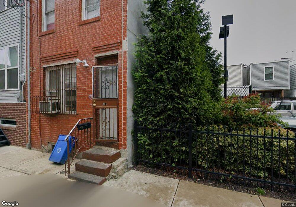
436 Cantrell St Philadelphia, PA 19148
Whitman NeighborhoodEstimated Value: $194,000 - $219,000
2
Beds
1
Bath
840
Sq Ft
$250/Sq Ft
Est. Value
About This Home
This home is located at 436 Cantrell St, Philadelphia, PA 19148 and is currently estimated at $209,928, approximately $249 per square foot. 436 Cantrell St is a home located in Philadelphia County with nearby schools including John H. Taggart School, Furness Horace High School, and St. Casimir School.
Ownership History
Date
Name
Owned For
Owner Type
Purchase Details
Closed on
Feb 7, 2023
Sold by
Putro Adwi
Bought by
Phang Patrick A
Current Estimated Value
Purchase Details
Closed on
Mar 29, 2021
Sold by
Bi David & Steven Llc
Bought by
Putro Adwi and Phang Stella C
Purchase Details
Closed on
May 22, 2003
Sold by
Chin Timothy R and Hawn Kathryn
Bought by
Bi David & Steven Llc
Create a Home Valuation Report for This Property
The Home Valuation Report is an in-depth analysis detailing your home's value as well as a comparison with similar homes in the area
Home Values in the Area
Average Home Value in this Area
Purchase History
| Date | Buyer | Sale Price | Title Company |
|---|---|---|---|
| Phang Patrick A | -- | -- | |
| Putro Adwi | $259,067 | First Platinum Abstract Llc | |
| Bi David & Steven Llc | $20,000 | -- |
Source: Public Records
Tax History Compared to Growth
Tax History
| Year | Tax Paid | Tax Assessment Tax Assessment Total Assessment is a certain percentage of the fair market value that is determined by local assessors to be the total taxable value of land and additions on the property. | Land | Improvement |
|---|---|---|---|---|
| 2026 | $2,304 | $192,400 | $38,480 | $153,920 |
| 2025 | $2,304 | $192,400 | $38,480 | $153,920 |
| 2024 | $2,304 | $192,400 | $38,480 | $153,920 |
| 2023 | $2,304 | $164,600 | $32,920 | $131,680 |
| 2022 | $1,566 | $164,600 | $32,920 | $131,680 |
| 2021 | $1,566 | $0 | $0 | $0 |
| 2020 | $1,566 | $0 | $0 | $0 |
| 2019 | $1,446 | $0 | $0 | $0 |
| 2018 | $1,578 | $0 | $0 | $0 |
| 2017 | $1,578 | $0 | $0 | $0 |
| 2016 | $1,578 | $0 | $0 | $0 |
| 2015 | $2,058 | $0 | $0 | $0 |
| 2014 | -- | $172,500 | $12,173 | $160,327 |
| 2012 | -- | $2,592 | $347 | $2,245 |
Source: Public Records
Map
Nearby Homes