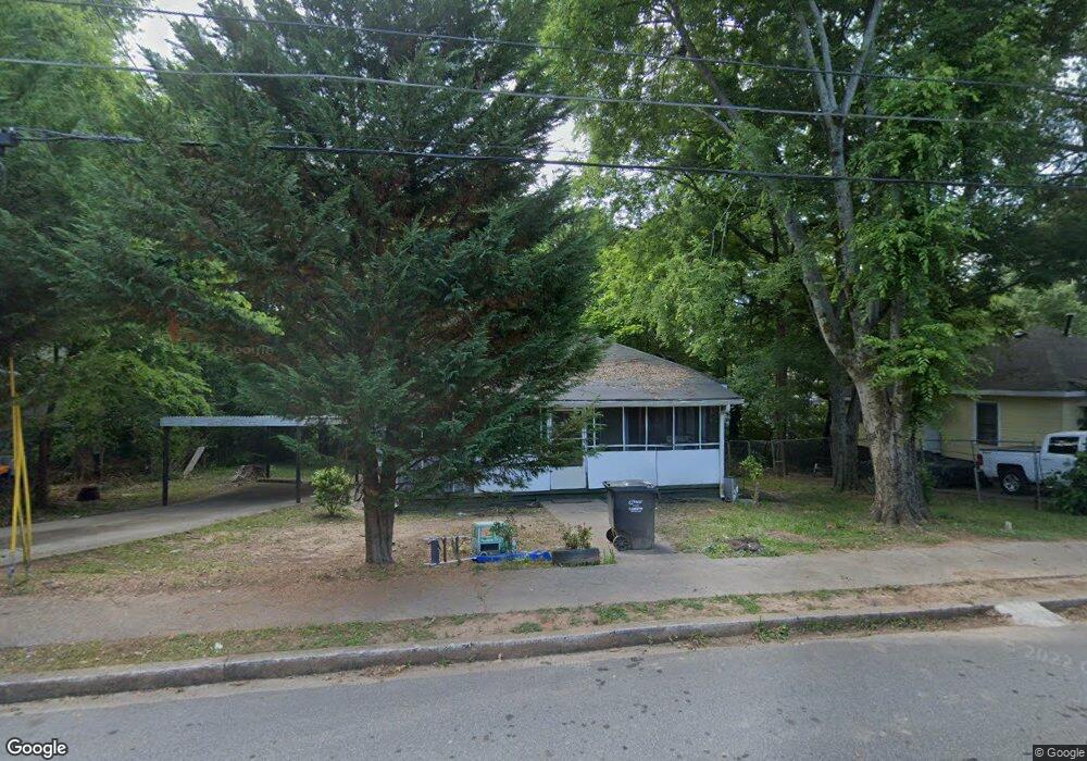
436 Center St Canton, GA 30114
New Town NeighborhoodEstimated Value: $196,000 - $230,000
2
Beds
1
Bath
1,120
Sq Ft
$191/Sq Ft
Est. Value
About This Home
This home is located at 436 Center St, Canton, GA 30114 and is currently estimated at $213,611, approximately $190 per square foot. 436 Center St is a home located in Cherokee County with nearby schools including R. M. Moore Elementary School, Teasley Middle School, and Cherokee High School.
Ownership History
Date
Name
Owned For
Owner Type
Purchase Details
Closed on
Oct 28, 2020
Sold by
Chiricuta Constance
Bought by
Xiloj Guadalupe Vicente and Perez Rosa Vincente
Current Estimated Value
Purchase Details
Closed on
Nov 30, 2009
Sold by
Britt Janet
Bought by
Chiricuta Constance
Home Financials for this Owner
Home Financials are based on the most recent Mortgage that was taken out on this home.
Original Mortgage
$50,566
Interest Rate
5.75%
Mortgage Type
FHA
Create a Home Valuation Report for This Property
The Home Valuation Report is an in-depth analysis detailing your home's value as well as a comparison with similar homes in the area
Home Values in the Area
Average Home Value in this Area
Purchase History
| Date | Buyer | Sale Price | Title Company |
|---|---|---|---|
| Xiloj Guadalupe Vicente | $97,000 | -- | |
| Chiricuta Constance | $51,500 | -- |
Source: Public Records
Mortgage History
| Date | Status | Borrower | Loan Amount |
|---|---|---|---|
| Previous Owner | Chiricuta Constance | $50,566 |
Source: Public Records
Tax History Compared to Growth
Tax History
| Year | Tax Paid | Tax Assessment Tax Assessment Total Assessment is a certain percentage of the fair market value that is determined by local assessors to be the total taxable value of land and additions on the property. | Land | Improvement |
|---|---|---|---|---|
| 2024 | $1,902 | $66,444 | $16,000 | $50,444 |
| 2023 | $1,813 | $63,324 | $14,000 | $49,324 |
| 2022 | $1,321 | $46,044 | $13,200 | $32,844 |
| 2021 | $1,127 | $36,964 | $10,800 | $26,164 |
| 2020 | $164 | $35,924 | $10,800 | $25,124 |
| 2019 | $149 | $30,760 | $9,600 | $21,160 |
| 2018 | $115 | $24,200 | $7,200 | $17,000 |
| 2017 | $118 | $60,400 | $7,200 | $16,960 |
| 2016 | $118 | $58,300 | $7,200 | $16,120 |
| 2015 | $101 | $50,200 | $6,000 | $14,080 |
| 2014 | $50 | $30,300 | $4,800 | $7,320 |
Source: Public Records
Map
Nearby Homes
- 621 Elmwood St
- 619 Elmwood St
- 131 Riverwatch Ct
- 0 Lake St Unit 10599928
- 0 Lake St Unit 7637074
- 220 Riverstone Place
- 257 Riverstone Place Unit 55
- 100 Daisy Cir
- 61 Daisy Cir
- 540 Hospital Rd
- 70 Daisy Cir
- 80 Daisy Cir
- Lot2&3 Georgia 140
- 560 Waleska Rd
- 550 Waleska Rd
- 213 Riverstone Commons Cir
- 6 Lots Riverstone Commons Cir
- 434 Center St
- 438 Center St
- 603 Elmwood St
- 432 Center St
- 601 Elmwood St
- 601 Elmwood St Unit 1
- 605 Elmwood St
- 440 Center St
- 599 Elmwood St
- 599 Elmwood St Unit B
- 435 Center St
- 437 Center St
- 433 Center St
- 607 Elmwood St
- 442 Center St
- 0 Center St Unit 8319815
- 0 Center St Unit 8063462
- 0 Center St Unit 7632722
- 0 Center St Unit 7178183
- 0 Center St Unit 7218845