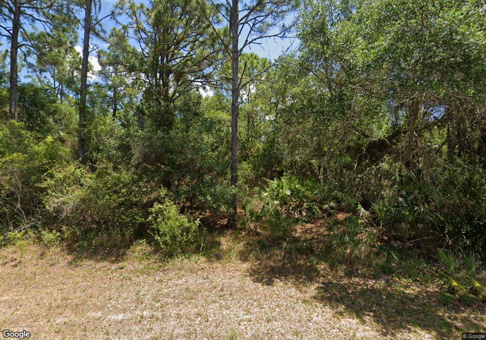
436 Dickerson St Port Charlotte, FL 33953
Northwest Port Charlotte NeighborhoodEstimated Value: $16,398 - $297,000
--
Bed
--
Bath
--
Sq Ft
10,019
Sq Ft Lot
About This Home
This home is located at 436 Dickerson St, Port Charlotte, FL 33953 and is currently estimated at $110,466. 436 Dickerson St is a home located in Charlotte County with nearby schools including Liberty Elementary School, Murdock Middle School, and Port Charlotte High School.
Ownership History
Date
Name
Owned For
Owner Type
Purchase Details
Closed on
Jan 31, 2019
Sold by
Byrne Thomas F
Bought by
Vannguyen Thien
Current Estimated Value
Purchase Details
Closed on
Dec 29, 2004
Sold by
Rahfeldt Daniel
Bought by
Byrne Thomas F
Home Financials for this Owner
Home Financials are based on the most recent Mortgage that was taken out on this home.
Original Mortgage
$22,000
Interest Rate
5.5%
Mortgage Type
Seller Take Back
Purchase Details
Closed on
Jan 10, 2004
Sold by
Marcisin Marie and Marcisin Michael
Bought by
Rahfeldt Daniel
Create a Home Valuation Report for This Property
The Home Valuation Report is an in-depth analysis detailing your home's value as well as a comparison with similar homes in the area
Home Values in the Area
Average Home Value in this Area
Purchase History
| Date | Buyer | Sale Price | Title Company |
|---|---|---|---|
| Vannguyen Thien | $3,750 | Stewart Title Co | |
| Byrne Thomas F | $21,000 | Clarion Title Company | |
| Rahfeldt Daniel | -- | -- |
Source: Public Records
Mortgage History
| Date | Status | Borrower | Loan Amount |
|---|---|---|---|
| Previous Owner | Byrne Thomas F | $22,000 |
Source: Public Records
Tax History Compared to Growth
Tax History
| Year | Tax Paid | Tax Assessment Tax Assessment Total Assessment is a certain percentage of the fair market value that is determined by local assessors to be the total taxable value of land and additions on the property. | Land | Improvement |
|---|---|---|---|---|
| 2023 | $440 | $3,456 | $0 | $0 |
| 2022 | $411 | $8,466 | $8,466 | $0 |
| 2021 | $374 | $2,856 | $2,856 | $0 |
| 2020 | $362 | $2,678 | $2,678 | $0 |
| 2019 | $353 | $2,678 | $2,678 | $0 |
| 2018 | $344 | $2,321 | $2,321 | $0 |
| 2017 | $340 | $2,237 | $2,237 | $0 |
| 2016 | $336 | $1,533 | $0 | $0 |
| 2015 | $330 | $1,394 | $0 | $0 |
| 2014 | $228 | $1,384 | $0 | $0 |
Source: Public Records
Map
Nearby Homes
- 435 Edgar St
- 441 Manth St
- 418 Manth St
- 409 Manth St
- 14060 Dunlap Ave
- 14272 & 14282 Daniels Ave
- 14009 Daniels Ave
- 14275 Daniels Ave
- 14142 Dunlap Ave
- 14310 Dunlap Ave
- 14300 Dunlap Ave
- 14071 Dunlap Ave
- 14055 Rider Ave
- 14018 Rider Ave
- 392 Manly St
- 380 Edgar St
- 14119 Dunlap Ave
- 384 Manly St
- 14165 Daniels Ave
- 368 Manly St
- 417 Dickerson St
- 428 Edgar St
- 444 Edgar St
- 426 Manth St
- 452 Edgar St
- 396 Dickerson St
- 14058 Daniels Ave
- 14055 Ritter Ave
- 423 Manly St
- 14132 Daniels Ave
- 449 Manth St
- 415 Manly St
- 396 Edgar St
- 407 Manly St
- 379 & 387 Edgar (Lot 9 & 10) St
- 379 Edgar (Lot 9 & 10) St
- 379 Edgar St
- 14070 and 14064 Ritter Ave
- 14070 Ritter Ave
- 14070 Dunlap Ave