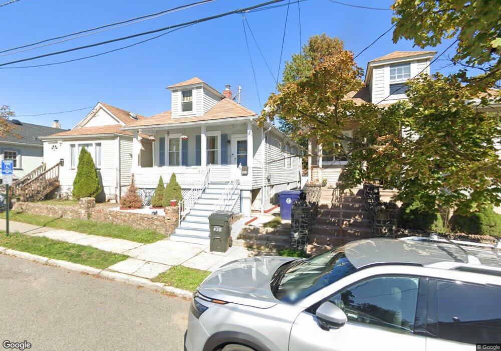
436 Keene St Unit 1 Perth Amboy, NJ 08861
Amboy Avenue NeighborhoodEstimated Value: $320,699 - $380,000
2
Beds
1
Bath
840
Sq Ft
$425/Sq Ft
Est. Value
About This Home
This home is located at 436 Keene St Unit 1, Perth Amboy, NJ 08861 and is currently estimated at $356,925, approximately $424 per square foot. 436 Keene St Unit 1 is a home located in Middlesex County with nearby schools including Perth Amboy High School, Academy for Urban Leadership Charter School, and Assumption Catholic School.
Ownership History
Date
Name
Owned For
Owner Type
Purchase Details
Closed on
Nov 15, 2017
Sold by
Anderson Donald and Anderson Janice
Bought by
Nunez Gutierrez Moises E and Grullon Veloz Iberys A
Current Estimated Value
Home Financials for this Owner
Home Financials are based on the most recent Mortgage that was taken out on this home.
Original Mortgage
$176,641
Outstanding Balance
$149,060
Interest Rate
4.12%
Mortgage Type
FHA
Estimated Equity
$207,865
Purchase Details
Closed on
Jul 29, 2009
Sold by
Stolte Walter
Bought by
Anderson Donald and Anderson Janice
Home Financials for this Owner
Home Financials are based on the most recent Mortgage that was taken out on this home.
Original Mortgage
$60,000
Interest Rate
5.36%
Mortgage Type
New Conventional
Create a Home Valuation Report for This Property
The Home Valuation Report is an in-depth analysis detailing your home's value as well as a comparison with similar homes in the area
Home Values in the Area
Average Home Value in this Area
Purchase History
| Date | Buyer | Sale Price | Title Company |
|---|---|---|---|
| Nunez Gutierrez Moises E | $179,900 | Mad Title Agency Inc | |
| Anderson Donald | $80,000 | Multiple |
Source: Public Records
Mortgage History
| Date | Status | Borrower | Loan Amount |
|---|---|---|---|
| Open | Nunez Gutierrez Moises E | $176,641 | |
| Previous Owner | Anderson Donald | $60,000 |
Source: Public Records
Tax History Compared to Growth
Tax History
| Year | Tax Paid | Tax Assessment Tax Assessment Total Assessment is a certain percentage of the fair market value that is determined by local assessors to be the total taxable value of land and additions on the property. | Land | Improvement |
|---|---|---|---|---|
| 2025 | $5,434 | $180,100 | $89,800 | $90,300 |
| 2024 | $5,423 | $180,100 | $89,800 | $90,300 |
| 2023 | $5,423 | $180,100 | $89,800 | $90,300 |
| 2022 | $5,358 | $180,100 | $89,800 | $90,300 |
| 2021 | $5,023 | $168,600 | $89,800 | $78,800 |
| 2020 | $5,021 | $168,600 | $89,800 | $78,800 |
| 2019 | $5,039 | $168,600 | $89,800 | $78,800 |
| 2018 | $4,996 | $168,600 | $89,800 | $78,800 |
| 2017 | $4,986 | $168,600 | $89,800 | $78,800 |
| 2016 | $4,856 | $168,600 | $89,800 | $78,800 |
| 2015 | $4,889 | $168,600 | $89,800 | $78,800 |
| 2014 | $4,920 | $168,600 | $89,800 | $78,800 |
Source: Public Records
Map
Nearby Homes
- 434 Lawrence St Unit 19
- 381 Keene St
- 360 Alpine St
- 537 Harding Ave
- 752 Donald Ave
- 435 Ashley St
- 514 S Park Dr
- 744 Donald Ave
- 720 Donald Ave
- 547 S Park Dr
- 689 Mary St
- 649 Cornell St
- 676 Johnstone St
- 747 Catherine St
- 646 Johnstone St
- 459 Brace Ave
- 270 Hall Ave
- 693 Hanson Ave
- 773 Colgate Ave
- 485 Compton Ave