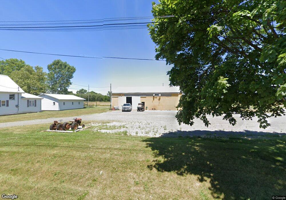
436 Maple St McComb, OH 45858
McComb NeighborhoodEstimated Value: $121,684 - $154,000
3
Beds
2
Baths
1,305
Sq Ft
$105/Sq Ft
Est. Value
About This Home
This home is located at 436 Maple St, McComb, OH 45858 and is currently estimated at $136,671, approximately $104 per square foot. 436 Maple St is a home located in Hancock County with nearby schools including McComb Elementary School, McComb Middle School, and Mccomb Local High School.
Ownership History
Date
Name
Owned For
Owner Type
Purchase Details
Closed on
Oct 25, 2013
Sold by
Morman Mark A and Morman Stacy M
Bought by
Morman Rentals Llc
Current Estimated Value
Purchase Details
Closed on
Jul 28, 2009
Sold by
Deutsche Bank National Trust Company
Bought by
Morman Mark A
Purchase Details
Closed on
Apr 27, 2009
Sold by
Nauth Bernard S and Nauth Barney S
Bought by
Deutsche Bank National Trust Company and Morgan Stanley Capital I Inc Trust 2006-
Purchase Details
Closed on
Oct 24, 1994
Sold by
Ramm Frederick
Bought by
Nauth Barney and Nauth Missy
Home Financials for this Owner
Home Financials are based on the most recent Mortgage that was taken out on this home.
Original Mortgage
$46,550
Interest Rate
8.53%
Mortgage Type
New Conventional
Create a Home Valuation Report for This Property
The Home Valuation Report is an in-depth analysis detailing your home's value as well as a comparison with similar homes in the area
Home Values in the Area
Average Home Value in this Area
Purchase History
| Date | Buyer | Sale Price | Title Company |
|---|---|---|---|
| Morman Rentals Llc | -- | None Available | |
| Morman Mark A | $18,000 | Rels Title Brittany B | |
| Deutsche Bank National Trust Company | $21,000 | None Available | |
| Nauth Barney | $49,000 | -- |
Source: Public Records
Mortgage History
| Date | Status | Borrower | Loan Amount |
|---|---|---|---|
| Previous Owner | Nauth Barney | $46,550 |
Source: Public Records
Tax History
| Year | Tax Paid | Tax Assessment Tax Assessment Total Assessment is a certain percentage of the fair market value that is determined by local assessors to be the total taxable value of land and additions on the property. | Land | Improvement |
|---|---|---|---|---|
| 2024 | $1,052 | $30,270 | $3,300 | $26,970 |
| 2023 | $1,046 | $30,270 | $3,300 | $26,970 |
| 2022 | $1,240 | $30,270 | $3,300 | $26,970 |
| 2021 | $1,058 | $23,290 | $4,210 | $19,080 |
| 2020 | $926 | $23,290 | $4,210 | $19,080 |
| 2019 | $1,012 | $23,290 | $4,210 | $19,080 |
| 2018 | $854 | $20,550 | $3,660 | $16,890 |
| 2017 | $429 | $20,550 | $3,660 | $16,890 |
| 2016 | $747 | $20,550 | $3,660 | $16,890 |
| 2015 | $376 | $9,460 | $3,910 | $5,550 |
| 2014 | $389 | $9,460 | $3,910 | $5,550 |
| 2012 | $451 | $10,590 | $3,910 | $6,680 |
Source: Public Records
Map
Nearby Homes
- 223 Cherry St
- 203 E Perrin Ave
- 128 S Liberty St
- 131 E South St
- 257 S Main St
- 3470 Ohio 235
- 4609 Township Road 235
- 4134 County Road 203
- 3111 Township Road 93
- 7514 Township Road 95
- 4014 County Road 139
- 7780 Township Road 89
- 2970 Otsego Pike
- 0 Rock Candy Rd Unit Lot 159
- 0 Rock Candy Rd Unit Lot 170
- 0 Rock Candy Rd Unit Lot 172 206819
- 0 Rock Candy Rd Unit Lot 162
- 0 Rock Candy Rd Unit Lot 171
- 0 Rock Candy Rd Unit Lot 168
- 9894 Smokies Way
- 432 Maple St
- 402 Maple St
- 418 Maple St
- 411 Maple St
- 412 Church St St
- 0 Church St Unit H124008
- 0 Church St Unit H126793
- 0 Church St Unit H126791
- 0 Church St
- 504 Maple St
- 408-408 1/2 Pleasant St
- 222 Cherry St
- 404 N Walnut
- 408 Pleasant St
- 202 Cherry St
- 320 W Perrin Ave
- 419 Pleasant St
- 411 Pleasant St
- 100 Cherry St
- 219 Cherry St
Your Personal Tour Guide
Ask me questions while you tour the home.