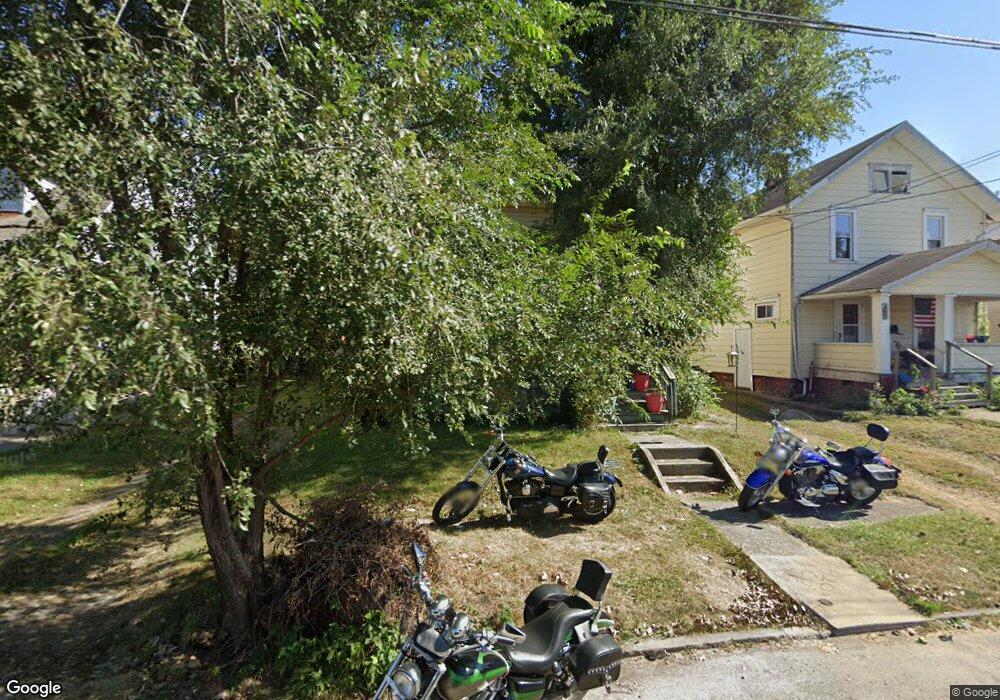
436 Mary St Marion, OH 43302
Estimated Value: $93,178 - $120,000
3
Beds
1
Bath
1,408
Sq Ft
$73/Sq Ft
Est. Value
About This Home
This home is located at 436 Mary St, Marion, OH 43302 and is currently estimated at $102,295, approximately $72 per square foot. 436 Mary St is a home located in Marion County with nearby schools including Rutherford B. Hayes Elementary School, Ulysses S. Grant Middle School, and Harding High School.
Ownership History
Date
Name
Owned For
Owner Type
Purchase Details
Closed on
Mar 11, 2009
Sold by
Grow Rich Properties Llc and Sperry Justin
Bought by
Hilliker Elaine
Current Estimated Value
Purchase Details
Closed on
Mar 6, 2009
Sold by
United Management And Investment Llc
Bought by
Grow Rich Properties Llc
Purchase Details
Closed on
Oct 24, 2008
Sold by
Secretary Of Hud
Bought by
United Management And Investment Llc
Purchase Details
Closed on
May 9, 2006
Sold by
Belt Georgia E
Bought by
Us Bank Na and Leader Mortgage Co
Purchase Details
Closed on
Oct 7, 1998
Bought by
Hilliker Elaine
Create a Home Valuation Report for This Property
The Home Valuation Report is an in-depth analysis detailing your home's value as well as a comparison with similar homes in the area
Home Values in the Area
Average Home Value in this Area
Purchase History
| Date | Buyer | Sale Price | Title Company |
|---|---|---|---|
| Hilliker Elaine | $22,500 | Ohio Real Title Agancey Llc | |
| Grow Rich Properties Llc | $4,800 | Ohio Real Title Agency Llc | |
| United Management And Investment Llc | -- | Lakeside Title | |
| Us Bank Na | $46,699 | None Available | |
| Hilliker Elaine | $49,000 | -- |
Source: Public Records
Tax History Compared to Growth
Tax History
| Year | Tax Paid | Tax Assessment Tax Assessment Total Assessment is a certain percentage of the fair market value that is determined by local assessors to be the total taxable value of land and additions on the property. | Land | Improvement |
|---|---|---|---|---|
| 2024 | $1,142 | $20,990 | $1,590 | $19,400 |
| 2023 | $1,142 | $20,990 | $1,590 | $19,400 |
| 2022 | $1,111 | $20,990 | $1,590 | $19,400 |
| 2021 | $1,066 | $17,560 | $1,390 | $16,170 |
| 2020 | $988 | $17,560 | $1,390 | $16,170 |
| 2019 | $1,247 | $17,560 | $1,390 | $16,170 |
| 2018 | $1,460 | $21,270 | $1,380 | $19,890 |
| 2017 | $855 | $21,270 | $1,380 | $19,890 |
| 2016 | $849 | $21,270 | $1,380 | $19,890 |
| 2015 | $850 | $20,820 | $1,320 | $19,500 |
| 2014 | $902 | $20,820 | $1,320 | $19,500 |
| 2012 | $842 | $20,460 | $980 | $19,480 |
Source: Public Records
Map
Nearby Homes
- 233 Tully St
- 347 Mary St
- 343 Commercial St
- 395 N Main St
- 551 Universal Ave Unit 555
- 552 N Prospect St
- 434 N State St
- 636 Mary St
- 593 N State St
- 455 Park St
- 178 Leader St
- 468 Avondale Ave
- 325 Holmes Place
- 291 Patten St
- 736 N Main St
- 197 Harrison St
- 485 Avondale Ave
- 316 Patten St
- 520 Toledo Ave
- 286 Patterson St