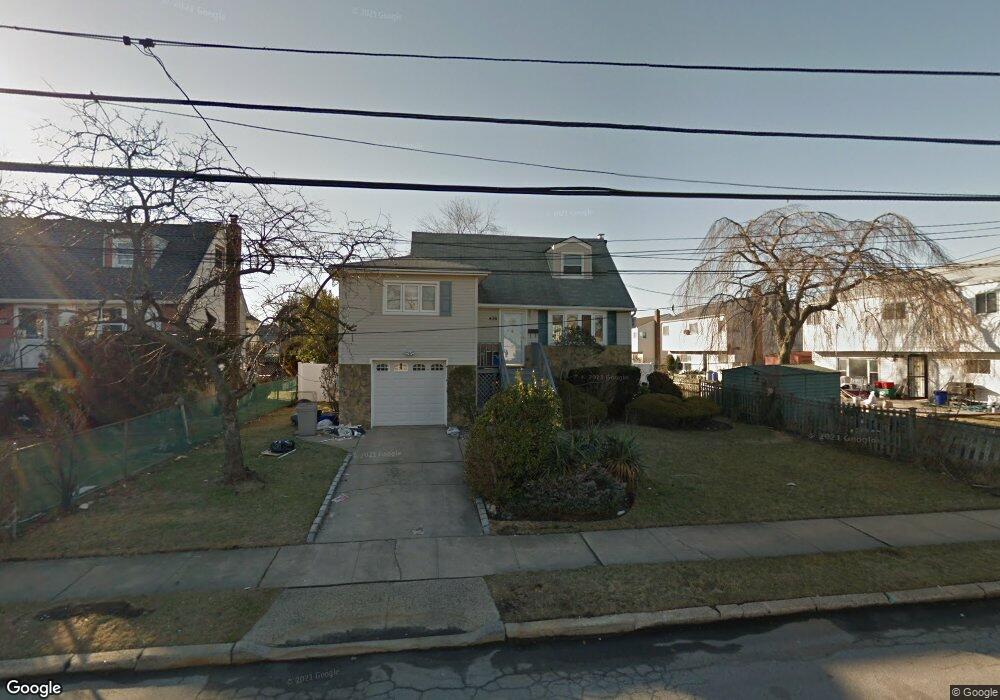
436 Miller Ave Freeport, NY 11520
Estimated Value: $566,000 - $673,802
3
Beds
1
Bath
1,269
Sq Ft
$488/Sq Ft
Est. Value
About This Home
This home is located at 436 Miller Ave, Freeport, NY 11520 and is currently estimated at $619,901, approximately $488 per square foot. 436 Miller Ave is a home located in Nassau County with nearby schools including Columbus Avenue School, Caroline G. Atkinson Intermediate School, and John W Dodd Middle School.
Ownership History
Date
Name
Owned For
Owner Type
Purchase Details
Closed on
Jul 22, 2015
Sold by
Watson Carol Ann
Bought by
Alvarez Anthony
Current Estimated Value
Purchase Details
Closed on
Nov 8, 1999
Sold by
Robbins Alfred and Robbins Denise
Bought by
Watson Carol Ann
Home Financials for this Owner
Home Financials are based on the most recent Mortgage that was taken out on this home.
Original Mortgage
$148,000
Interest Rate
7.76%
Mortgage Type
Purchase Money Mortgage
Purchase Details
Closed on
Jul 15, 1997
Sold by
Roberts Nanette
Bought by
Robbins Alfred S and Robbins Denise
Create a Home Valuation Report for This Property
The Home Valuation Report is an in-depth analysis detailing your home's value as well as a comparison with similar homes in the area
Home Values in the Area
Average Home Value in this Area
Purchase History
| Date | Buyer | Sale Price | Title Company |
|---|---|---|---|
| Alvarez Anthony | $249,777 | The Judicial Title Ins | |
| Watson Carol Ann | $186,000 | -- | |
| Robbins Alfred S | $135,000 | -- |
Source: Public Records
Mortgage History
| Date | Status | Borrower | Loan Amount |
|---|---|---|---|
| Previous Owner | Watson Carol Ann | $148,000 |
Source: Public Records
Tax History Compared to Growth
Tax History
| Year | Tax Paid | Tax Assessment Tax Assessment Total Assessment is a certain percentage of the fair market value that is determined by local assessors to be the total taxable value of land and additions on the property. | Land | Improvement |
|---|---|---|---|---|
| 2025 | $8,043 | $373 | $162 | $211 |
| 2024 | $764 | $356 | $155 | $201 |
| 2023 | $7,554 | $373 | $162 | $211 |
| 2022 | $7,554 | $373 | $162 | $211 |
| 2021 | $10,746 | $370 | $162 | $208 |
| 2020 | $7,373 | $483 | $431 | $52 |
| 2019 | $7,108 | $465 | $338 | $127 |
| 2018 | $6,733 | $496 | $0 | $0 |
| 2017 | $7,774 | $646 | $470 | $176 |
| 2016 | $8,744 | $646 | $470 | $176 |
| 2015 | $933 | $646 | $470 | $176 |
| 2014 | $933 | $646 | $470 | $176 |
| 2013 | $882 | $646 | $470 | $176 |
Source: Public Records
Map
Nearby Homes
- 65 Adams St
- 232 Nassau Ave
- 570 S Ocean Ave
- 209 Nassau Ave
- 374 Miller Ave
- 479 Roosevelt Ave
- 536 S Ocean Ave
- 525 Miller Ave
- 644 Guy Lombardo Ave
- 310 Miller Ave
- 494 S Ocean Ave Unit 3A
- 494 S Ocean Ave Unit 1H
- 226 Westside Ave Unit B
- 256 Westside Ave
- 292 Westside Ave
- 39 Layton St
- 205 Saint Marks Ave
- 171 Westside Ave
- 31 Casino St Unit PH
- 43 Layton St