436 Quassapaug Rd Woodbury, CT 06798
Estimated Value: $726,894 - $866,000
4
Beds
4
Baths
2,832
Sq Ft
$280/Sq Ft
Est. Value
About This Home
This home is located at 436 Quassapaug Rd, Woodbury, CT 06798 and is currently estimated at $792,724, approximately $279 per square foot. 436 Quassapaug Rd is a home located in Litchfield County with nearby schools including Mitchell Elementary School, Bethlehem Elementary School, and Woodbury Middle School.
Ownership History
Date
Name
Owned For
Owner Type
Purchase Details
Closed on
Jul 30, 2007
Sold by
Ltf Buildings
Bought by
Usami Saburo and Usami Andrea
Current Estimated Value
Home Financials for this Owner
Home Financials are based on the most recent Mortgage that was taken out on this home.
Original Mortgage
$479,950
Interest Rate
6.78%
Create a Home Valuation Report for This Property
The Home Valuation Report is an in-depth analysis detailing your home's value as well as a comparison with similar homes in the area
Home Values in the Area
Average Home Value in this Area
Purchase History
| Date | Buyer | Sale Price | Title Company |
|---|---|---|---|
| Usami Saburo | $595,000 | -- |
Source: Public Records
Mortgage History
| Date | Status | Borrower | Loan Amount |
|---|---|---|---|
| Open | Usami Saburo | $396,000 | |
| Closed | Usami Saburo | $417,000 | |
| Closed | Usami Saburo | $479,950 |
Source: Public Records
Tax History Compared to Growth
Tax History
| Year | Tax Paid | Tax Assessment Tax Assessment Total Assessment is a certain percentage of the fair market value that is determined by local assessors to be the total taxable value of land and additions on the property. | Land | Improvement |
|---|---|---|---|---|
| 2025 | $10,243 | $433,650 | $61,670 | $371,980 |
| 2024 | $10,048 | $433,650 | $61,670 | $371,980 |
| 2023 | $8,828 | $303,780 | $61,650 | $242,130 |
| 2022 | $8,861 | $303,780 | $61,650 | $242,130 |
| 2021 | $8,861 | $303,780 | $61,650 | $242,130 |
| 2020 | $8,861 | $303,780 | $61,650 | $242,130 |
| 2019 | $8,861 | $303,780 | $61,650 | $242,130 |
| 2018 | $9,132 | $343,580 | $69,160 | $274,420 |
| 2017 | $9,332 | $343,580 | $69,160 | $274,420 |
| 2016 | $9,033 | $343,580 | $69,160 | $274,420 |
| 2015 | $8,957 | $343,580 | $69,160 | $274,420 |
| 2014 | $8,827 | $343,580 | $69,160 | $274,420 |
Source: Public Records
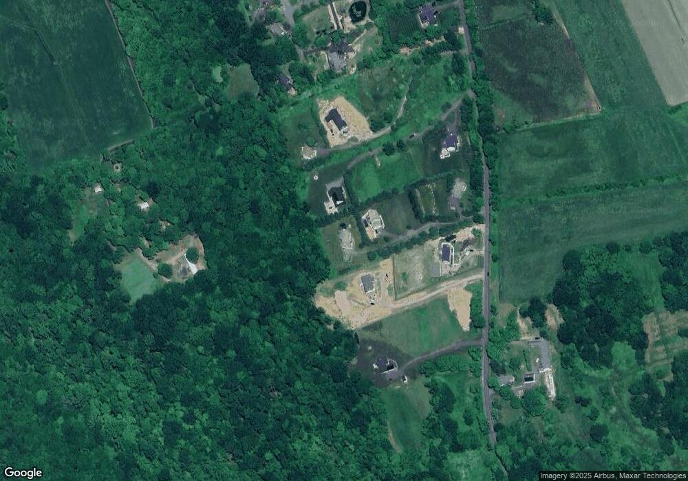
Map
Nearby Homes
- 432 Quassapaug Rd
- 10 Lake Rd
- 1461 Bunker Hill Rd
- 31 McVeigh Rd
- 90 Rowley Rd
- 437 Middle Road Turnpike
- 781 Hamilton Ave
- 393 Middle Road Turnpike
- 94 Old Town Farm Rd
- 200 N Farm Rd
- 237 Concord Dr
- 38 Barnhill Rd
- LOT#9 Wolf Hill Rd
- 819 Main St N
- 92 Minortown Rd
- 109 Cannon Ridge Dr
- 0 Main St N Unit 24072824
- 105 Minortown Rd
- 523 Main St N
- 245 Cherry Ave Unit I15
- 434 Quassapaug Rd
- 420 Quassapaug Rd
- 444 Quassapaug Rd
- 418 Quassapaug Rd
- 5 Eastfield Farms
- 440 Quassapaug Rd
- 410 Quassapaug Rd
- 452 Quassapaug Rd
- 8 Eastfield Farms
- 416 Quassapaug Rd
- 408 Quassapaug Rd
- 644 Middle Road Turnpike
- 52 Lake Rd
- 57 Lake Rd
- 50 Lake Rd
- 467 Quassapaug Rd
- 402 Quassapaug Rd
- 44 Lake Rd
- 43 Lake Rd
- 9 Edward Ave