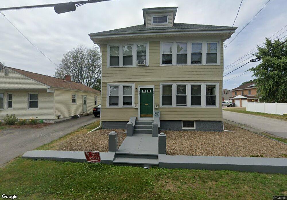
436 Roger Williams Ave Unit 438 Rumford, RI 02916
Phillipsdale NeighborhoodEstimated Value: $618,210 - $695,000
6
Beds
2
Baths
3,018
Sq Ft
$214/Sq Ft
Est. Value
About This Home
This home is located at 436 Roger Williams Ave Unit 438, Rumford, RI 02916 and is currently estimated at $646,303, approximately $214 per square foot. 436 Roger Williams Ave Unit 438 is a home located in Providence County with nearby schools including East Providence High School, St Margaret School, and Saint Teresa Catholic Elementary School.
Ownership History
Date
Name
Owned For
Owner Type
Purchase Details
Closed on
Jun 3, 2002
Sold by
Tremblay Eugene F
Bought by
Lightbrown Derek P
Current Estimated Value
Home Financials for this Owner
Home Financials are based on the most recent Mortgage that was taken out on this home.
Original Mortgage
$149,500
Outstanding Balance
$63,439
Interest Rate
7%
Estimated Equity
$582,864
Create a Home Valuation Report for This Property
The Home Valuation Report is an in-depth analysis detailing your home's value as well as a comparison with similar homes in the area
Home Values in the Area
Average Home Value in this Area
Purchase History
| Date | Buyer | Sale Price | Title Company |
|---|---|---|---|
| Lightbrown Derek P | $187,000 | -- |
Source: Public Records
Mortgage History
| Date | Status | Borrower | Loan Amount |
|---|---|---|---|
| Open | Lightbrown Derek P | $30,000 | |
| Open | Lightbrown Derek P | $149,500 |
Source: Public Records
Tax History Compared to Growth
Tax History
| Year | Tax Paid | Tax Assessment Tax Assessment Total Assessment is a certain percentage of the fair market value that is determined by local assessors to be the total taxable value of land and additions on the property. | Land | Improvement |
|---|---|---|---|---|
| 2025 | $8,626 | $660,000 | $156,500 | $503,500 |
| 2024 | $7,116 | $464,200 | $130,500 | $333,700 |
| 2023 | $6,852 | $464,200 | $130,500 | $333,700 |
| 2022 | $6,158 | $281,700 | $69,300 | $212,400 |
| 2021 | $6,057 | $281,700 | $63,600 | $218,100 |
| 2020 | $5,800 | $281,700 | $63,600 | $218,100 |
| 2019 | $5,640 | $281,700 | $63,600 | $218,100 |
| 2018 | $5,256 | $229,700 | $57,900 | $171,800 |
| 2017 | $5,138 | $229,700 | $57,900 | $171,800 |
| 2016 | $5,113 | $229,700 | $57,900 | $171,800 |
| 2015 | $5,065 | $220,700 | $55,100 | $165,600 |
| 2014 | $5,065 | $220,700 | $55,100 | $165,600 |
Source: Public Records
Map
Nearby Homes
- 25 Orange St
- 39 Webster Ave Unit 201
- 27 Orange St
- 8 Pine Grove St
- 99 Ruth Ave Unit 101
- 261 263 Roger Williams Ave
- 70 Glen Meadows Dr
- 60 West Dr
- 339 Beverage Hill Ave
- 63 East Dr
- 23 Frederick St
- 496 Beverage Hill Ave
- 111 Raymond Ave
- 200 Roger Williams Ave Unit 109
- 200 Roger Williams Ave Unit 207
- 200 Roger Williams Ave Unit 417
- 45 Fortin Ave
- 0 Rosella Ave
- 166 Roger Williams Ave
- 77 Manistee St
- 432 Roger Williams Ave
- 430 Roger Williams Ave
- 440 Roger Williams Ave
- 17 Orange St Unit 19
- 10 Orange St
- 9 Puritan Ave
- 11 Puritan Ave
- 15 Orange St
- 6 Nevada Ave
- 6 Nevada Ave Unit 2
- 6 Puritan Ave
- 10 Nevada Ave Unit 12
- 14 Orange St
- 10 Puritan Ave
- 15 Puritan Ave Unit 17
- 16 Puritan Ave
- 16 Nevada Ave
- 18 Orange St
- 408 Roger Williams Ave
- 5 Nevada Ave