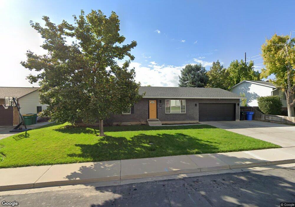
436 S 280 W Orem, UT 84058
Orem South NeighborhoodEstimated Value: $480,000 - $510,580
3
Beds
2
Baths
1,176
Sq Ft
$423/Sq Ft
Est. Value
About This Home
This home is located at 436 S 280 W, Orem, UT 84058 and is currently estimated at $497,527, approximately $423 per square foot. 436 S 280 W is a home located in Utah County with nearby schools including Orem Elementary School, Lakeridge Jr High School, and Mountain View High School.
Ownership History
Date
Name
Owned For
Owner Type
Purchase Details
Closed on
Oct 28, 2005
Sold by
Williams Robert L and American Funding
Bought by
Madsen Greg and Madsen Amy
Current Estimated Value
Home Financials for this Owner
Home Financials are based on the most recent Mortgage that was taken out on this home.
Original Mortgage
$24,300
Interest Rate
5.68%
Mortgage Type
Stand Alone Second
Create a Home Valuation Report for This Property
The Home Valuation Report is an in-depth analysis detailing your home's value as well as a comparison with similar homes in the area
Home Values in the Area
Average Home Value in this Area
Purchase History
| Date | Buyer | Sale Price | Title Company |
|---|---|---|---|
| Madsen Greg | -- | Meridian Title Company |
Source: Public Records
Mortgage History
| Date | Status | Borrower | Loan Amount |
|---|---|---|---|
| Closed | Madsen Greg | $24,300 |
Source: Public Records
Tax History
| Year | Tax Paid | Tax Assessment Tax Assessment Total Assessment is a certain percentage of the fair market value that is determined by local assessors to be the total taxable value of land and additions on the property. | Land | Improvement |
|---|---|---|---|---|
| 2025 | $1,975 | $258,060 | -- | -- |
| 2024 | $1,975 | $241,450 | $0 | $0 |
| 2023 | $1,828 | $240,295 | $0 | $0 |
| 2022 | $1,898 | $241,615 | $0 | $0 |
| 2021 | $1,766 | $340,600 | $170,100 | $170,500 |
| 2020 | $1,600 | $303,300 | $136,100 | $167,200 |
| 2019 | $1,486 | $292,800 | $125,600 | $167,200 |
| 2018 | $1,372 | $258,300 | $108,200 | $150,100 |
| 2017 | $1,206 | $121,660 | $0 | $0 |
| 2016 | $1,236 | $114,950 | $0 | $0 |
| 2015 | $1,192 | $104,830 | $0 | $0 |
| 2014 | $1,051 | $92,015 | $0 | $0 |
Source: Public Records
Map
Nearby Homes
- 193 W 530 S
- 114 W 300 S
- 216 S 400 W
- 308 W 730 S
- 510 S 20 E
- 302 W 100 S
- 87 E 600 S Unit D
- 64 S 320 W
- 207 W 800 S
- 55 Hanover Dr
- 62 N Garden Park Dr Unit 8
- 62 N 380 W
- 217 W 900 S
- 139 E 800 S
- 520 S 800 W Unit 14
- 208 W Garden Park
- 508 W 40 N
- 506 S 800 West St Unit 13
- 570 S 800 West St Unit 15
- 881 S 635 W
- 298 W 460 S Unit 29 WN
- 298 W 460 S Unit 618
- 298 W 460 S
- 294 W 460 S Unit 30 WN
- 294 W 460 S
- 294 W 460 S Unit 619
- 448 S 280 W
- 424 S 280 W
- 292 W 460 S Unit 31 WN
- 447 S 320 W
- 288 W 460 S Unit 620
- 286 W 460 S Unit 32 WN
- 282 W 460 S Unit 33 WN
- 282 W 460 S
- 282 W 460 S Unit 621
- 435 S 320 W
- 431 S 280 W
- 291 W 460 S Unit 630
- 460 S 280 W
- 275 W 400 S
Your Personal Tour Guide
Ask me questions while you tour the home.