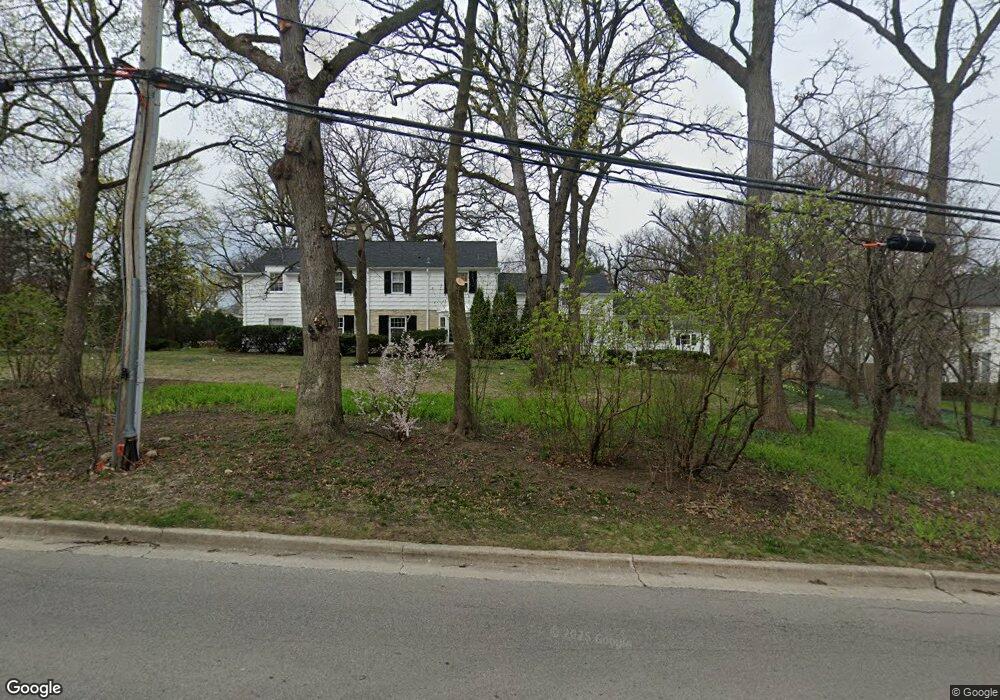
436 S County Line Rd Hinsdale, IL 60521
South Hinsdale NeighborhoodEstimated Value: $2,069,000 - $2,701,878
--
Bed
1
Bath
3,779
Sq Ft
$639/Sq Ft
Est. Value
About This Home
This home is located at 436 S County Line Rd, Hinsdale, IL 60521 and is currently estimated at $2,415,970, approximately $639 per square foot. 436 S County Line Rd is a home located in DuPage County with nearby schools including Oak Elementary School, Hinsdale Middle School, and Hinsdale Central High School.
Ownership History
Date
Name
Owned For
Owner Type
Purchase Details
Closed on
Sep 10, 2010
Sold by
Harrison Mark H and Harrison Georgia H
Bought by
Harrison Georgia H and Harrison Mark H
Current Estimated Value
Purchase Details
Closed on
Jan 14, 1999
Sold by
Kruchko Peter M and Kruchko Stacey S
Bought by
Harrison Mark H and Harrison Georgia H
Home Financials for this Owner
Home Financials are based on the most recent Mortgage that was taken out on this home.
Original Mortgage
$750,000
Interest Rate
6.79%
Create a Home Valuation Report for This Property
The Home Valuation Report is an in-depth analysis detailing your home's value as well as a comparison with similar homes in the area
Home Values in the Area
Average Home Value in this Area
Purchase History
| Date | Buyer | Sale Price | Title Company |
|---|---|---|---|
| Harrison Georgia H | -- | None Available | |
| Harrison Mark H | $975,000 | Chicago Title Insurance Co |
Source: Public Records
Mortgage History
| Date | Status | Borrower | Loan Amount |
|---|---|---|---|
| Closed | Harrison Mark H | $750,000 |
Source: Public Records
Tax History Compared to Growth
Tax History
| Year | Tax Paid | Tax Assessment Tax Assessment Total Assessment is a certain percentage of the fair market value that is determined by local assessors to be the total taxable value of land and additions on the property. | Land | Improvement |
|---|---|---|---|---|
| 2024 | $34,038 | $664,591 | $288,952 | $375,639 |
| 2023 | $32,383 | $610,950 | $265,630 | $345,320 |
| 2022 | $33,368 | $642,440 | $279,320 | $363,120 |
| 2021 | $32,155 | $635,130 | $276,140 | $358,990 |
| 2020 | $31,430 | $622,550 | $270,670 | $351,880 |
| 2019 | $31,458 | $597,340 | $259,710 | $337,630 |
| 2018 | $30,575 | $601,780 | $258,360 | $343,420 |
| 2017 | $29,476 | $579,080 | $248,610 | $330,470 |
| 2016 | $28,922 | $552,660 | $237,270 | $315,390 |
| 2015 | $28,809 | $519,960 | $223,230 | $296,730 |
| 2014 | $30,091 | $523,960 | $217,040 | $306,920 |
| 2013 | $32,350 | $571,230 | $216,020 | $355,210 |
Source: Public Records
Map
Nearby Homes
- 705 E 3rd St
- 133 S Park Ave
- 3 Orchard Place
- 13 S Elm St
- 6 S Elm St
- 11S110 LOT Madison St
- 522 Pamela Cir
- 910 S Park Ave
- 565 Hannah Ln Unit 712
- 567 Hannah Ln
- 317 E Walnut St
- 930 Harding Rd
- 5531 Barton Ln
- 946 S Garfield St
- 329 N Oak St
- 8S057 S Vine St
- 28 E 55th St
- 5603 S Garfield St
- 4731 Woodland Ave
- 422 Mills St
- 455 Woodside Ave
- 420 S County Line Rd
- 453 E 6th St
- 429 S County Line Rd
- 429 S County Line Rd
- 421 S County Line Rd
- 448 E 4th St
- 452 E 4th St
- 505 S County Line Rd
- 411 S County Line Rd
- 444 E 4th St
- 424 Woodside Ave
- 425 E 6th St
- 403 S County Line Rd
- 600 S County Line Rd
- 526 Woodside Ave
- 535 Woodside Ave
- 444 E 6th St
- 448 E 6th St
- 425 Woodside Ave