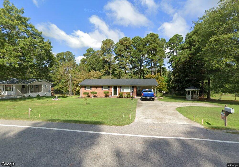
436 Sherron Rd Durham, NC 27703
Eastern Durham NeighborhoodEstimated Value: $279,000 - $316,000
3
Beds
2
Baths
1,185
Sq Ft
$250/Sq Ft
Est. Value
About This Home
This home is located at 436 Sherron Rd, Durham, NC 27703 and is currently estimated at $296,075, approximately $249 per square foot. 436 Sherron Rd is a home located in Durham County with nearby schools including Oak Grove Elementary, John W Neal Middle School, and Southern School of Energy & Sustainability.
Ownership History
Date
Name
Owned For
Owner Type
Purchase Details
Closed on
Apr 30, 2012
Sold by
Maddox Helen C
Bought by
Mclean Ricky Lee and Mclean Mary C
Current Estimated Value
Home Financials for this Owner
Home Financials are based on the most recent Mortgage that was taken out on this home.
Original Mortgage
$131,191
Outstanding Balance
$91,363
Interest Rate
4.01%
Mortgage Type
VA
Estimated Equity
$204,712
Create a Home Valuation Report for This Property
The Home Valuation Report is an in-depth analysis detailing your home's value as well as a comparison with similar homes in the area
Home Values in the Area
Average Home Value in this Area
Purchase History
| Date | Buyer | Sale Price | Title Company |
|---|---|---|---|
| Mclean Ricky Lee | $127,000 | None Available |
Source: Public Records
Mortgage History
| Date | Status | Borrower | Loan Amount |
|---|---|---|---|
| Open | Mclean Ricky Lee | $131,191 |
Source: Public Records
Tax History
| Year | Tax Paid | Tax Assessment Tax Assessment Total Assessment is a certain percentage of the fair market value that is determined by local assessors to be the total taxable value of land and additions on the property. | Land | Improvement |
|---|---|---|---|---|
| 2025 | $1,992 | $269,263 | $126,875 | $142,388 |
| 2024 | $1,533 | $138,190 | $43,650 | $94,540 |
| 2023 | $1,473 | $138,190 | $43,650 | $94,540 |
| 2022 | $1,425 | $138,190 | $43,650 | $94,540 |
| 2021 | $1,212 | $138,190 | $43,650 | $94,540 |
| 2020 | $1,184 | $138,190 | $43,650 | $94,540 |
| 2019 | $1,171 | $138,190 | $43,650 | $94,540 |
| 2018 | $1,063 | $115,148 | $30,555 | $84,593 |
| 2017 | $1,028 | $115,148 | $30,555 | $84,593 |
| 2016 | $997 | $115,148 | $30,555 | $84,593 |
| 2015 | $1,183 | $113,125 | $31,822 | $81,303 |
| 2014 | $1,189 | $113,125 | $31,822 | $81,303 |
Source: Public Records
Map
Nearby Homes
- 528 Plumleaf Ln
- 17 Plumleaf Ln
- 13 Blackthorn Ln
- 1112 Blackthorn Ln
- 517 Keith St
- 442 Gus Rd
- 807 Outlaw Ave
- 1114 Blackthorn Ln
- 819 Ember Dr
- 601 Crossing Dr
- 2208 Gilman St
- 621 Wellwater Ave
- 108 Putters Ct
- 428 Holly Blossom Dr
- 2800-2809 Napoli Dr
- 6 Spicewood Ct
- 607 Ravenstone Ln
- 615 Southshore Pkwy
- 208 Lick Creek Ln
- 5002 Wake Forest Hwy
- 440 Sherron Rd
- 731 Bayard Rd
- 430 Sherron Rd
- 502 Sherron Rd
- 727 Bayard Rd
- 1013 Blackthorn Ln
- 802 Bayard Rd
- 1106 Blackthorn Ln Unit 15
- 426 Sherron Rd
- 509 Sherron Rd Unit 10
- 509 Sherron Rd Unit 11
- 509 Sherron Rd Unit 30
- 509 Sherron Rd Unit 36
- 509 Sherron Rd Unit 22
- 509 Sherron Rd Unit 25
- 509 Sherron Rd Unit 14
- 509 Sherron Rd Unit 9
- 509 Sherron Rd Unit 18
- 509 Sherron Rd
- 9 Blackthorn Ln
Your Personal Tour Guide
Ask me questions while you tour the home.