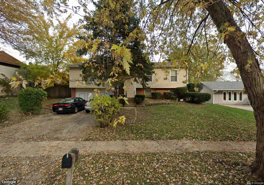
436 Sword Way Bolingbrook, IL 60440
East Bolingbrook NeighborhoodEstimated Value: $317,000 - $395,000
3
Beds
1
Bath
1,909
Sq Ft
$182/Sq Ft
Est. Value
About This Home
This home is located at 436 Sword Way, Bolingbrook, IL 60440 and is currently estimated at $348,354, approximately $182 per square foot. 436 Sword Way is a home located in Will County with nearby schools including Jonas E Salk Elementary School, Hubert H Humphrey Middle School, and Bolingbrook High School.
Ownership History
Date
Name
Owned For
Owner Type
Purchase Details
Closed on
Oct 29, 1998
Sold by
Donnewald John C and Donnewald Cynthia
Bought by
Brooks Bruce W and Brooks Natalie M
Current Estimated Value
Home Financials for this Owner
Home Financials are based on the most recent Mortgage that was taken out on this home.
Original Mortgage
$115,389
Outstanding Balance
$25,386
Interest Rate
6.68%
Mortgage Type
FHA
Estimated Equity
$322,968
Create a Home Valuation Report for This Property
The Home Valuation Report is an in-depth analysis detailing your home's value as well as a comparison with similar homes in the area
Home Values in the Area
Average Home Value in this Area
Purchase History
| Date | Buyer | Sale Price | Title Company |
|---|---|---|---|
| Brooks Bruce W | $116,500 | -- |
Source: Public Records
Mortgage History
| Date | Status | Borrower | Loan Amount |
|---|---|---|---|
| Open | Brooks Bruce W | $115,389 |
Source: Public Records
Tax History
| Year | Tax Paid | Tax Assessment Tax Assessment Total Assessment is a certain percentage of the fair market value that is determined by local assessors to be the total taxable value of land and additions on the property. | Land | Improvement |
|---|---|---|---|---|
| 2024 | $7,892 | $93,457 | $20,174 | $73,283 |
| 2023 | $7,892 | $84,090 | $18,152 | $65,938 |
| 2022 | $6,900 | $75,811 | $16,365 | $59,446 |
| 2021 | $6,532 | $70,885 | $15,302 | $55,583 |
| 2020 | $6,327 | $68,554 | $14,799 | $53,755 |
| 2019 | $6,117 | $65,289 | $14,094 | $51,195 |
| 2018 | $5,616 | $60,069 | $12,967 | $47,102 |
| 2017 | $5,339 | $56,937 | $12,291 | $44,646 |
| 2016 | $5,176 | $54,200 | $11,700 | $42,500 |
| 2015 | $4,297 | $50,500 | $10,900 | $39,600 |
| 2014 | $4,297 | $45,900 | $9,900 | $36,000 |
| 2013 | $4,297 | $45,900 | $9,900 | $36,000 |
Source: Public Records
Map
Nearby Homes
- 526 King Arthur Way
- 317 Homestead Dr
- 473 Rockhurst Rd
- 320 Homestead Dr
- 404 Galahad Rd
- 598 Miner Dr
- 428 N Ashbury Ave
- 411 Assembly Dr
- 421 N Ashbury Ave
- 246 Homewood Dr
- 271 Stonegate Rd
- 409 N Ashbury Ave
- 354 Aaron Ln
- 519 Charlestown Dr
- 564 White Oak Rd
- 207 Seabury Rd
- 220 N Ashbury Ave
- 547 Goodwin Dr
- 505 Goodwin Dr
- 325 Rockhurst Rd
Your Personal Tour Guide
Ask me questions while you tour the home.