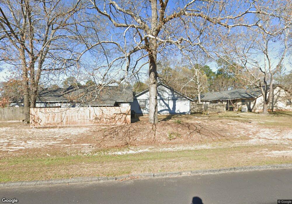
436 Tallulah Trail Warner Robins, GA 31088
Estimated Value: $92,000 - $113,029
2
Beds
2
Baths
1,050
Sq Ft
$100/Sq Ft
Est. Value
About This Home
This home is located at 436 Tallulah Trail, Warner Robins, GA 31088 and is currently estimated at $105,007, approximately $100 per square foot. 436 Tallulah Trail is a home located in Houston County with nearby schools including Russell Elementary School, Huntington Middle School, and Warner Robins High School.
Ownership History
Date
Name
Owned For
Owner Type
Purchase Details
Closed on
Oct 15, 2024
Sold by
Cranford James C
Bought by
Coody William C
Current Estimated Value
Purchase Details
Closed on
Oct 1, 1999
Sold by
Bankers Trust Co Of Ga
Bought by
Cranford James C
Purchase Details
Closed on
Apr 6, 1999
Sold by
Moore Deborah E
Bought by
Bankers Trust Co Of Ga
Purchase Details
Closed on
Jan 13, 1987
Sold by
Harbour Towne Condo Co
Bought by
Moore Deborah E
Create a Home Valuation Report for This Property
The Home Valuation Report is an in-depth analysis detailing your home's value as well as a comparison with similar homes in the area
Home Values in the Area
Average Home Value in this Area
Purchase History
| Date | Buyer | Sale Price | Title Company |
|---|---|---|---|
| Coody William C | $98,000 | None Listed On Document | |
| Cranford James C | $32,000 | -- | |
| Bankers Trust Co Of Ga | -- | -- | |
| Moore Deborah E | $44,000 | -- |
Source: Public Records
Tax History Compared to Growth
Tax History
| Year | Tax Paid | Tax Assessment Tax Assessment Total Assessment is a certain percentage of the fair market value that is determined by local assessors to be the total taxable value of land and additions on the property. | Land | Improvement |
|---|---|---|---|---|
| 2024 | $1,105 | $33,760 | $2,400 | $31,360 |
| 2023 | $926 | $28,080 | $2,400 | $25,680 |
| 2022 | $549 | $23,880 | $2,400 | $21,480 |
| 2021 | $390 | $16,880 | $2,400 | $14,480 |
| 2020 | $379 | $16,320 | $2,400 | $13,920 |
| 2019 | $379 | $16,320 | $2,400 | $13,920 |
| 2018 | $379 | $16,320 | $2,400 | $13,920 |
| 2017 | $380 | $16,320 | $2,400 | $13,920 |
| 2016 | $380 | $16,320 | $2,400 | $13,920 |
| 2015 | -- | $16,320 | $2,400 | $13,920 |
| 2014 | $186 | $16,320 | $2,400 | $13,920 |
| 2013 | $186 | $18,640 | $2,400 | $16,240 |
Source: Public Records
Map
Nearby Homes
- 452 Tallulah Trail
- 362 Tallulah Trail
- 266 Southland Station Dr
- 705 Tallulah Trail
- 236 Tallulah Trail
- 238 Tallulah Trail
- 122 Tallulah Trail
- 102 Tallulah Trail
- 0 S Kimberly Rd
- 104 Crossing Place
- 105 Marvin Blvd
- 217 Station Way
- 124 Stonehedge Dr
- 100 Stoneridge Dr
- 141 Stoneridge Dr
- 140 Stoneridge Dr
- 305 Bonnie Dr
- 101 Leisure Lake Ct
- 103 Leisure Lake Ct
- 105 Leisure Lake Ct
- 434 Tallulah Trail
- 438 Tallulah Trail
- 432 Tallulah Trail
- 440 Tallulah Trail Unit 7
- 440 Tallulah Trail
- 444 Tallulah Trail
- 446 Tallulah Trail
- 430 Tallulah Trail Unit 2
- 430 Tallulah Trail
- 502 Tallulah Trail
- 508 Tallulah Trail
- 442 Tallulah Trail
- 448 Tallulah Trail
- 500 Tallulah Trail
- 450 Tallulah Trail
- 454 Tallulah Trail
- 412 Tallulah Trail
- 400 Tallulah Trail
- 414 Tallulah Trail
- 410 Tallulah Trail