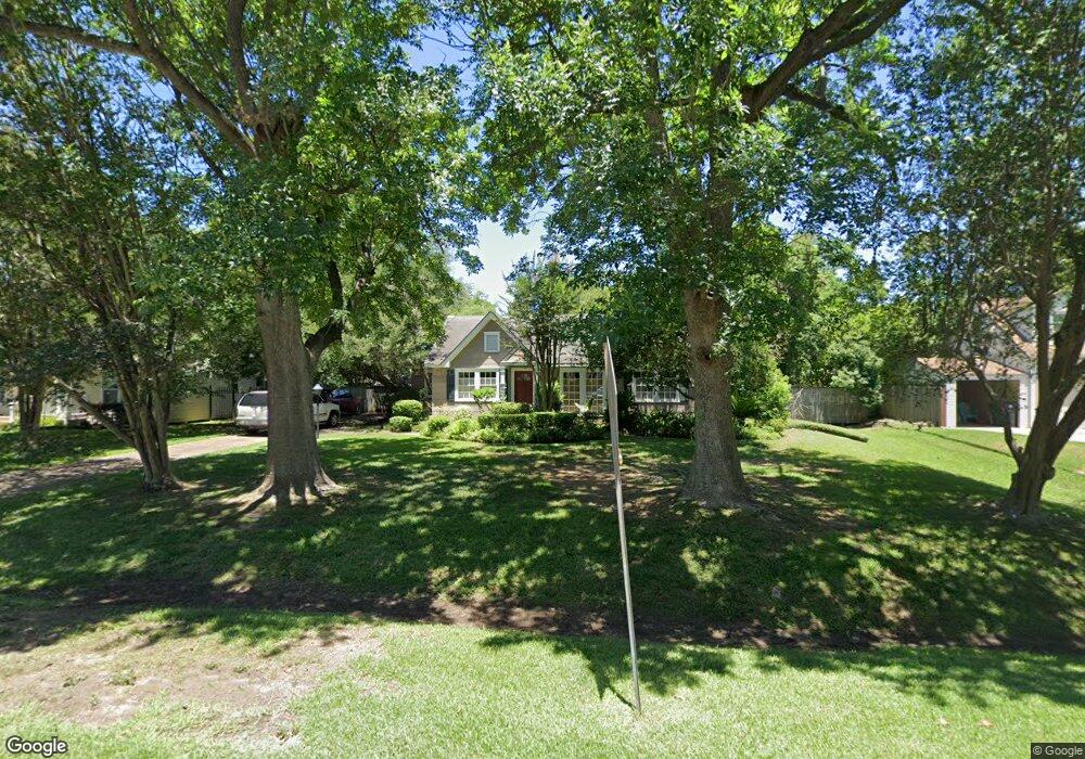
436 W 31st St Houston, TX 77018
Oak Forest-Garden Oaks NeighborhoodEstimated Value: $682,084 - $982,000
2
Beds
1
Bath
1,274
Sq Ft
$609/Sq Ft
Est. Value
About This Home
This home is located at 436 W 31st St, Houston, TX 77018 and is currently estimated at $775,771, approximately $608 per square foot. 436 W 31st St is a home located in Harris County with nearby schools including Garden Oaks Montessori, Frank Black Middle School, and Booker T Washington Sr High.
Ownership History
Date
Name
Owned For
Owner Type
Purchase Details
Closed on
Jul 9, 1996
Sold by
Kothlow Scott and Kothlow Clare
Bought by
Marquis Pamela K
Current Estimated Value
Home Financials for this Owner
Home Financials are based on the most recent Mortgage that was taken out on this home.
Original Mortgage
$121,500
Outstanding Balance
$8,636
Interest Rate
8.05%
Estimated Equity
$767,135
Purchase Details
Closed on
Sep 1, 1993
Sold by
Burns Charles R and Burns Sara B
Bought by
Kothlow Scott and Kothlow Clare
Home Financials for this Owner
Home Financials are based on the most recent Mortgage that was taken out on this home.
Original Mortgage
$88,800
Interest Rate
7.23%
Create a Home Valuation Report for This Property
The Home Valuation Report is an in-depth analysis detailing your home's value as well as a comparison with similar homes in the area
Home Values in the Area
Average Home Value in this Area
Purchase History
| Date | Buyer | Sale Price | Title Company |
|---|---|---|---|
| Marquis Pamela K | -- | -- | |
| Kothlow Scott | -- | -- |
Source: Public Records
Mortgage History
| Date | Status | Borrower | Loan Amount |
|---|---|---|---|
| Open | Marquis Pamela K | $121,500 | |
| Previous Owner | Kothlow Scott | $88,800 |
Source: Public Records
Tax History Compared to Growth
Tax History
| Year | Tax Paid | Tax Assessment Tax Assessment Total Assessment is a certain percentage of the fair market value that is determined by local assessors to be the total taxable value of land and additions on the property. | Land | Improvement |
|---|---|---|---|---|
| 2025 | $4,956 | $730,068 | $638,190 | $91,878 |
| 2024 | $4,956 | $663,406 | $638,190 | $25,216 |
| 2023 | $4,956 | $607,900 | $607,800 | $100 |
| 2022 | $11,450 | $520,000 | $501,435 | $18,565 |
| 2021 | $11,433 | $490,529 | $471,045 | $19,484 |
| 2020 | $11,422 | $471,678 | $471,045 | $633 |
| 2019 | $11,979 | $473,400 | $471,045 | $2,355 |
| 2018 | $8,838 | $480,855 | $425,460 | $55,395 |
| 2017 | $10,328 | $479,268 | $425,460 | $53,808 |
| 2016 | $9,389 | $479,268 | $425,460 | $53,808 |
| 2015 | $6,164 | $484,820 | $425,460 | $59,360 |
| 2014 | $6,164 | $361,880 | $303,900 | $57,980 |
Source: Public Records
Map
Nearby Homes
- 519 W 31st St
- 431 W 30th St
- 520 W 30th St
- 824 & 828 W 32nd St
- 408 W 30th St
- 336 W 32nd St
- 544 W 28th St
- 2710 Nicholson St
- 531 W 27th St
- 312 W 32nd St
- 524 W 34th St
- 326 W 28th St
- 2708 N Shepherd Dr
- 2608 Ashland St
- 324 W 27th St
- 449 W 25th St Unit C
- 239 W 27th St
- 207 W 33rd St
- 243 W 26th St
- 241 W 26th St