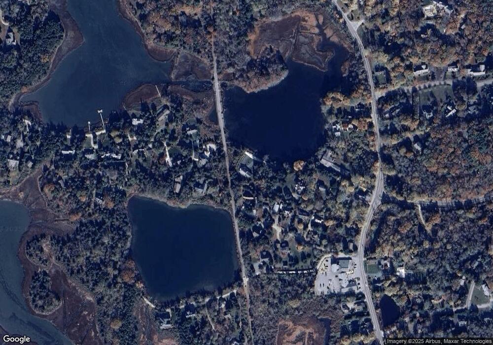
436 W Falmouth Hwy Falmouth, MA 02540
Estimated Value: $1,531,000 - $1,980,000
4
Beds
3
Baths
2,201
Sq Ft
$792/Sq Ft
Est. Value
About This Home
This home is located at 436 W Falmouth Hwy, Falmouth, MA 02540 and is currently estimated at $1,742,566, approximately $791 per square foot. 436 W Falmouth Hwy is a home located in Barnstable County with nearby schools including Mullen-Hall School, Morse Pond School, and Lawrence School.
Ownership History
Date
Name
Owned For
Owner Type
Purchase Details
Closed on
Sep 12, 2003
Sold by
Lashes Nt and Liddel Virginia S
Bought by
Batte John F and Batter Lisa H
Current Estimated Value
Home Financials for this Owner
Home Financials are based on the most recent Mortgage that was taken out on this home.
Original Mortgage
$750,000
Outstanding Balance
$347,447
Interest Rate
6.22%
Mortgage Type
Purchase Money Mortgage
Estimated Equity
$1,395,119
Create a Home Valuation Report for This Property
The Home Valuation Report is an in-depth analysis detailing your home's value as well as a comparison with similar homes in the area
Home Values in the Area
Average Home Value in this Area
Purchase History
| Date | Buyer | Sale Price | Title Company |
|---|---|---|---|
| Batte John F | $937,500 | -- |
Source: Public Records
Mortgage History
| Date | Status | Borrower | Loan Amount |
|---|---|---|---|
| Open | Batte John F | $750,000 |
Source: Public Records
Tax History Compared to Growth
Tax History
| Year | Tax Paid | Tax Assessment Tax Assessment Total Assessment is a certain percentage of the fair market value that is determined by local assessors to be the total taxable value of land and additions on the property. | Land | Improvement |
|---|---|---|---|---|
| 2025 | $7,989 | $1,361,000 | $829,200 | $531,800 |
| 2024 | $7,608 | $1,211,500 | $719,200 | $492,300 |
| 2023 | $6,363 | $919,500 | $573,400 | $346,100 |
| 2022 | $7,171 | $890,800 | $573,300 | $317,500 |
| 2021 | $6,665 | $784,100 | $491,200 | $292,900 |
| 2020 | $6,351 | $739,400 | $446,500 | $292,900 |
| 2019 | $6,313 | $737,500 | $446,500 | $291,000 |
| 2018 | $6,276 | $729,800 | $446,500 | $283,300 |
| 2017 | $6,165 | $722,700 | $446,500 | $276,200 |
| 2016 | $6,044 | $722,100 | $446,500 | $275,600 |
| 2015 | $5,914 | $722,100 | $446,500 | $275,600 |
| 2014 | $5,879 | $721,400 | $446,900 | $274,500 |
Source: Public Records
Map
Nearby Homes
- 37 Katelyn Hills Dr
- 0 Chapoquoit Rd
- 4 Charles Ln
- 275 W Falmouth Hwy
- 113 Blacksmith Shop Rd
- 4 Ambleside Dr
- 70 Westmoreland Dr
- 102 Nashawena St
- 11 Barnabas Rd
- 116 Saconesset Rd
- 61 Mckenna Ridge Dr
- 106 Ambleside Dr
- 126 Ambleside Dr
- 21 Braeside Rd
- 7 Pilgrim Path
- 4 Josiah Path
- 7 Josiah Path
- 32 Josiah Path
- 33 Bowman Ln
- 29 Bowman Ln
- 117 Little Neck Bars Rd
- 27 Bowman Ln
- 139 Little Neck Bars Rd
- 434 W Falmouth Hwy
- 23 Bowman Ln
- 32 Bowman Ln
- 132 Little Neck Bars Rd
- 129 Little Neck Bars Rd
- 135 Little Neck Bars Rd
- 19 Bowman Ln
- 125 Little Neck Bars Rd
- 432 W Falmouth Hwy
- 22 Bowman Ln
- 10 Quahog Pond Ln
- 15 Bowman Ln
- 10 Quahog Path
- 10 Quahog Pond Rd
- 0 Bowman Ln
