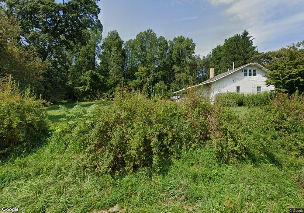
4360 State Route 819 Avonmore, PA 15618
Bell Township NeighborhoodEstimated Value: $56,387 - $240,000
4
Beds
1
Bath
884
Sq Ft
$179/Sq Ft
Est. Value
About This Home
This home is located at 4360 State Route 819, Avonmore, PA 15618 and is currently estimated at $158,597, approximately $179 per square foot. 4360 State Route 819 is a home located in Westmoreland County with nearby schools including Kiski Area High School.
Ownership History
Date
Name
Owned For
Owner Type
Purchase Details
Closed on
May 4, 2009
Sold by
Citimortgage Inc
Bought by
Gerber George A
Current Estimated Value
Home Financials for this Owner
Home Financials are based on the most recent Mortgage that was taken out on this home.
Original Mortgage
$98,050
Outstanding Balance
$61,883
Interest Rate
4.83%
Mortgage Type
FHA
Estimated Equity
$96,714
Purchase Details
Closed on
Feb 24, 2009
Sold by
Sheasley Sandra L
Bought by
Citimortgage Inc
Purchase Details
Closed on
Jul 27, 2006
Sold by
Mccullough James C
Bought by
Sheasley Sandra L
Home Financials for this Owner
Home Financials are based on the most recent Mortgage that was taken out on this home.
Original Mortgage
$103,920
Interest Rate
7.85%
Mortgage Type
Balloon
Create a Home Valuation Report for This Property
The Home Valuation Report is an in-depth analysis detailing your home's value as well as a comparison with similar homes in the area
Home Values in the Area
Average Home Value in this Area
Purchase History
| Date | Buyer | Sale Price | Title Company |
|---|---|---|---|
| Gerber George A | $99,900 | None Available | |
| Citimortgage Inc | $4,463 | None Available | |
| Sheasley Sandra L | $129,900 | None Available |
Source: Public Records
Mortgage History
| Date | Status | Borrower | Loan Amount |
|---|---|---|---|
| Open | Gerber George A | $98,050 | |
| Previous Owner | Sheasley Sandra L | $103,920 |
Source: Public Records
Tax History Compared to Growth
Tax History
| Year | Tax Paid | Tax Assessment Tax Assessment Total Assessment is a certain percentage of the fair market value that is determined by local assessors to be the total taxable value of land and additions on the property. | Land | Improvement |
|---|---|---|---|---|
| 2025 | $1,943 | $13,910 | $2,480 | $11,430 |
| 2024 | $1,835 | $13,910 | $2,480 | $11,430 |
| 2023 | $1,663 | $13,910 | $2,480 | $11,430 |
| 2022 | $1,622 | $13,910 | $2,480 | $11,430 |
| 2021 | $1,622 | $13,910 | $2,480 | $11,430 |
| 2020 | $1,617 | $13,910 | $2,480 | $11,430 |
| 2019 | $1,610 | $13,910 | $2,480 | $11,430 |
| 2018 | $1,582 | $13,910 | $2,480 | $11,430 |
| 2017 | $1,541 | $13,910 | $2,480 | $11,430 |
| 2016 | $1,515 | $13,910 | $2,480 | $11,430 |
| 2015 | $1,515 | $13,910 | $2,480 | $11,430 |
| 2014 | $1,507 | $13,910 | $2,480 | $11,430 |
Source: Public Records
Map
Nearby Homes
- 4416 State Route 819
- 438 Weister Ln
- 4765 Pennsylvania 981
- 107 Moglia Ln
- 115 Truxall Rd
- 309 Whitesell St
- 140 High St
- 107 High St
- 225 Kochka Dr
- Lot 10 Beulah Church Rd
- Lot 6 Horrell Rd
- 623 Marco Rd
- Lot A Guthrie Rd
- 138 Beaver Run Rd
- 718 Route 356
- 311 & 313 N 2nd St
- 957 Cherry Lane Rd
- 237 Beaver Run Rd
- 527 Westmoreland Ave
- 382 Eagle Ln
- 4354 State Route 819
- 368 Bell Point Rd
- 340 Bell Point Rd
- 4372 Rt 819
- 309 Bell Point Rd
- 310 Bell Point Rd
- 4389 Pennsylvania 819
- 352 Old Rte 819 Rd
- 4392 Rte 819 Hwy
- 299 Bell Point Rd
- 4397 State Route 819
- 4399 Pennsylvania 819
- 295 Bell Point Rd
- 368 Bell Point Rd
- 4403 State Route 819
- 4402 State Route 819
- 223 Tower Rd
- 302 Bell Point Rd
- 287 Bell Point Rd
- 286 Bell Point Rd