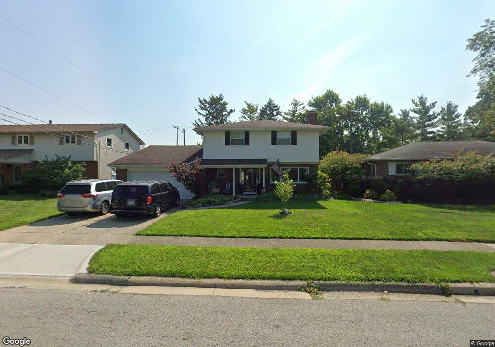
4360 Stoner Dr Grove City, OH 43123
Estimated Value: $344,000 - $407,000
4
Beds
3
Baths
2,130
Sq Ft
$176/Sq Ft
Est. Value
About This Home
This home is located at 4360 Stoner Dr, Grove City, OH 43123 and is currently estimated at $374,663, approximately $175 per square foot. 4360 Stoner Dr is a home located in Franklin County with nearby schools including Hayes Intermediate School, Jc Sommer Elementary School, and Jackson Middle School.
Ownership History
Date
Name
Owned For
Owner Type
Purchase Details
Closed on
Apr 30, 1999
Sold by
Wagner Will C and Wagner Jill M
Bought by
Whipple Scott C and Whipple Liesa P
Current Estimated Value
Home Financials for this Owner
Home Financials are based on the most recent Mortgage that was taken out on this home.
Original Mortgage
$121,800
Outstanding Balance
$29,731
Interest Rate
6.37%
Estimated Equity
$344,932
Purchase Details
Closed on
Jun 16, 1998
Sold by
Benson Rodney O and Benson Betty L
Bought by
Wagner Will C and Wagner Jill M
Home Financials for this Owner
Home Financials are based on the most recent Mortgage that was taken out on this home.
Original Mortgage
$103,000
Interest Rate
7.22%
Purchase Details
Closed on
Sep 21, 1988
Purchase Details
Closed on
Sep 1, 1978
Create a Home Valuation Report for This Property
The Home Valuation Report is an in-depth analysis detailing your home's value as well as a comparison with similar homes in the area
Home Values in the Area
Average Home Value in this Area
Purchase History
| Date | Buyer | Sale Price | Title Company |
|---|---|---|---|
| Whipple Scott C | $139,800 | Warranty Title | |
| Wagner Will C | $137,000 | Independent Title | |
| -- | -- | -- | |
| -- | $61,500 | -- |
Source: Public Records
Mortgage History
| Date | Status | Borrower | Loan Amount |
|---|---|---|---|
| Open | Whipple Scott C | $121,800 | |
| Previous Owner | Wagner Will C | $103,000 |
Source: Public Records
Tax History Compared to Growth
Tax History
| Year | Tax Paid | Tax Assessment Tax Assessment Total Assessment is a certain percentage of the fair market value that is determined by local assessors to be the total taxable value of land and additions on the property. | Land | Improvement |
|---|---|---|---|---|
| 2024 | $5,033 | $110,680 | $19,990 | $90,690 |
| 2023 | $4,962 | $110,670 | $19,985 | $90,685 |
| 2022 | $4,291 | $70,360 | $10,470 | $59,890 |
| 2021 | $4,374 | $70,360 | $10,470 | $59,890 |
| 2020 | $4,359 | $70,360 | $10,470 | $59,890 |
| 2019 | $3,876 | $58,040 | $8,720 | $49,320 |
| 2018 | $3,660 | $58,040 | $8,720 | $49,320 |
| 2017 | $3,653 | $58,040 | $8,720 | $49,320 |
| 2016 | $3,458 | $47,710 | $10,120 | $37,590 |
| 2015 | $3,459 | $47,710 | $10,120 | $37,590 |
| 2014 | $3,462 | $47,710 | $10,120 | $37,590 |
| 2013 | $1,634 | $47,705 | $10,115 | $37,590 |
Source: Public Records
Map
Nearby Homes
- 4277 Beechgrove Dr
- 4241 Ashgrove Dr
- 2873 Woodgrove Dr
- 4284 Beechgrove Dr
- 4318 Maplegrove Dr
- 4370 Maplegrove Dr
- 4236 Maplegrove Dr
- 4256 Eleanor Ave
- 3084 Sawyer Dr
- 2690 Eugene Ave
- 3283 Kingston Ave
- 4598 Gillenbury Loop W
- 4287 Knapp Dr
- 3944 Girbert St
- 4754 Glencross Ct
- 3163 Gunderman Ave
- 3405 Woodlawn Ave
- 4314 Robin St
- 3910 Security Dr
- 4208 Mayfair Ct N
- 4356 Stoner Dr
- 4366 Stoner Dr
- 4346 Stoner Dr
- 4357 Ashgrove Dr
- 4359 Ashgrove Dr
- 4351 Ashgrove Dr
- 4372 Stoner Dr
- 4367 Ashgrove Dr
- 4345 Ashgrove Dr
- 4359 Stoner Dr
- 2958 Woodgrove Dr
- 4338 Stoner Dr
- 4351 Stoner Dr
- 2934 Woodgrove Dr
- 4337 Ashgrove Dr
- 2922 Woodgrove Dr
- 4341 Stoner Dr
- 4328 Stoner Dr
- 4375 Ashgrove Dr
- 2968 Woodgrove Dr