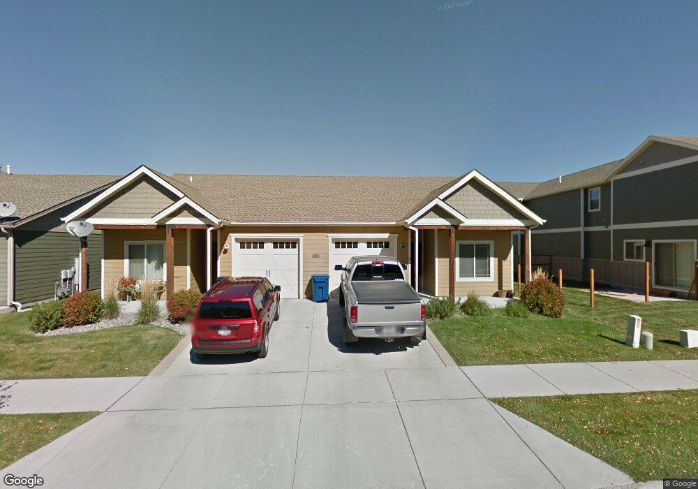
4361 Brookside Ln Unit B Bozeman, MT 59718
Flanders Creek NeighborhoodEstimated Value: $363,014 - $443,000
2
Beds
2
Baths
1,008
Sq Ft
$397/Sq Ft
Est. Value
About This Home
This home is located at 4361 Brookside Ln Unit B, Bozeman, MT 59718 and is currently estimated at $400,004, approximately $396 per square foot. 4361 Brookside Ln Unit B is a home located in Gallatin County with nearby schools including Meadowlark Elementary School, Chief Joseph Middle School, and Gallatin High School.
Ownership History
Date
Name
Owned For
Owner Type
Purchase Details
Closed on
Aug 10, 2016
Sold by
Meara Daniel C O and Meara Lisa O
Bought by
Peck David B and Peck Lauren H
Current Estimated Value
Home Financials for this Owner
Home Financials are based on the most recent Mortgage that was taken out on this home.
Original Mortgage
$152,925
Outstanding Balance
$122,016
Interest Rate
3.48%
Mortgage Type
New Conventional
Estimated Equity
$277,988
Purchase Details
Closed on
Oct 26, 2009
Sold by
Rapp Kenneth L and Rapp Lomalee T
Bought by
Omeara Daniel C and Johnsen Ashley L
Home Financials for this Owner
Home Financials are based on the most recent Mortgage that was taken out on this home.
Original Mortgage
$135,988
Interest Rate
5%
Mortgage Type
FHA
Create a Home Valuation Report for This Property
The Home Valuation Report is an in-depth analysis detailing your home's value as well as a comparison with similar homes in the area
Home Values in the Area
Average Home Value in this Area
Purchase History
| Date | Buyer | Sale Price | Title Company |
|---|---|---|---|
| Peck David B | -- | First American Title Company | |
| Omeara Daniel C | -- | American Land Title Company |
Source: Public Records
Mortgage History
| Date | Status | Borrower | Loan Amount |
|---|---|---|---|
| Open | Peck David B | $152,925 | |
| Previous Owner | Omeara Daniel C | $135,988 |
Source: Public Records
Tax History
| Year | Tax Paid | Tax Assessment Tax Assessment Total Assessment is a certain percentage of the fair market value that is determined by local assessors to be the total taxable value of land and additions on the property. | Land | Improvement |
|---|---|---|---|---|
| 2025 | $1,508 | $390,800 | $0 | $0 |
| 2024 | $2,601 | $390,700 | $0 | $0 |
| 2023 | $2,519 | $393,600 | $0 | $0 |
| 2022 | $2,049 | $267,300 | $0 | $0 |
| 2021 | $2,261 | $267,300 | $0 | $0 |
| 2020 | $1,954 | $228,300 | $0 | $0 |
| 2019 | $1,998 | $228,300 | $0 | $0 |
| 2018 | $1,752 | $185,400 | $0 | $0 |
| 2017 | $1,729 | $185,400 | $0 | $0 |
| 2016 | $1,328 | $140,400 | $0 | $0 |
| 2015 | $1,330 | $140,400 | $0 | $0 |
| 2014 | $1,349 | $83,793 | $0 | $0 |
Source: Public Records
Map
Nearby Homes
- 4348 Glenwood Dr Unit C
- 853 Rookery Ln
- 878 Rookery Ln
- 852,853,878,881 Rookery
- 881 Rookery Ln
- 886 Flanders Creek Ave
- 4689 Bembrick St Unit 1A
- 4665 Bembrick St Unit 2D
- 4665 Bembrick St Unit 1C
- 926 Abigail Ln Unit A
- 4454 Shadowglen Dr
- 5350 Delft Way
- 1097 Cassandra Ln Unit A
- TBD (Lot 2) N Cottonwood Rd
- TBD (Lot 3) N Cottonwood Rd
- TBD (Lot 5) N Cottonwood Rd
- 1811 N Cottonwood Rd
- 4563 Ethan Way Unit 3B
- 332 N Cottonwood Rd Unit F
- 1222 Flanders Creek Ave Unit B
- 4361 Brookside Ln Unit B
- 4361 Brookside Ln Unit A
- 4361 Brookside Ln
- 4361 Brookside Ln
- 4365A Brookside Ln
- 4365B Brookside
- 4360 Glenwood Dr
- 4364 Glenwood Dr
- TBD Brookside Ln
- 4365 Brookside Ln Unit A
- 4365 Brookside Ln Unit B
- 4365 Brookside Ln
- 4366 Glenwood Dr
- 4368 Glenwood Dr
- 4369 Brookside Ln Unit B
- 4369 Brookside Ln Unit A
- 4370 Glenwood Dr
- 4366 Brookside Ln
- 4372 Glenwood Dr
- 4370 Brookside Ln
Your Personal Tour Guide
Ask me questions while you tour the home.