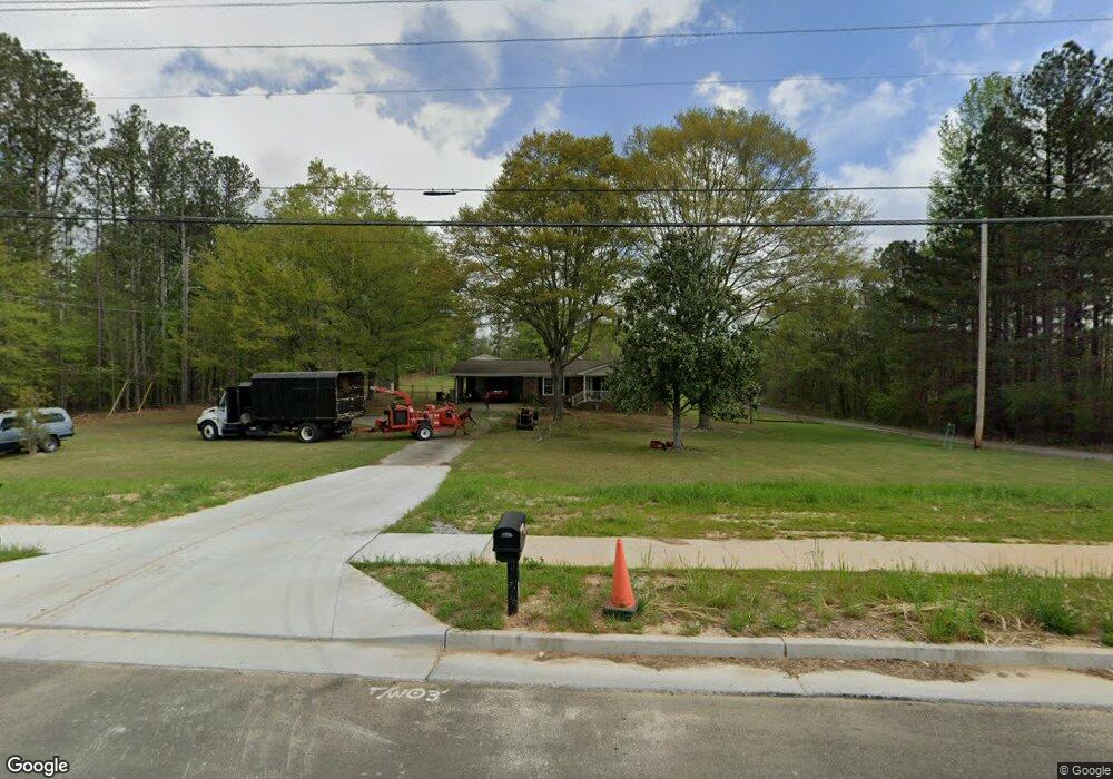
4361 MacLand Rd Hiram, GA 30141
East Paulding County NeighborhoodEstimated Value: $259,000 - $334,000
--
Bed
2
Baths
1,240
Sq Ft
$238/Sq Ft
Est. Value
About This Home
This home is located at 4361 MacLand Rd, Hiram, GA 30141 and is currently estimated at $295,390, approximately $238 per square foot. 4361 MacLand Rd is a home located in Paulding County with nearby schools including Mcgarity Elementary School, P. B. Ritch Middle School, and East Paulding High School.
Ownership History
Date
Name
Owned For
Owner Type
Purchase Details
Closed on
Aug 27, 2018
Sold by
Carlan Mary Lou
Bought by
Pryde Aubrey and Pryde Scott
Current Estimated Value
Home Financials for this Owner
Home Financials are based on the most recent Mortgage that was taken out on this home.
Original Mortgage
$137,464
Outstanding Balance
$119,382
Interest Rate
4.5%
Mortgage Type
FHA
Estimated Equity
$176,008
Purchase Details
Closed on
Nov 4, 2014
Sold by
Dean Annie Estate
Bought by
Camp Susan and Hunter Shannon
Purchase Details
Closed on
May 22, 2009
Sold by
Carlan Daniel E
Bought by
Carlan Mary L
Purchase Details
Closed on
May 14, 2009
Sold by
Greene Sandy Leigh
Purchase Details
Closed on
Oct 7, 2007
Sold by
Carlan Sandy L
Purchase Details
Closed on
Oct 30, 2000
Sold by
Carlan Daniel E
Home Financials for this Owner
Home Financials are based on the most recent Mortgage that was taken out on this home.
Original Mortgage
$35,000
Interest Rate
7.91%
Mortgage Type
New Conventional
Create a Home Valuation Report for This Property
The Home Valuation Report is an in-depth analysis detailing your home's value as well as a comparison with similar homes in the area
Home Values in the Area
Average Home Value in this Area
Purchase History
| Date | Buyer | Sale Price | Title Company |
|---|---|---|---|
| Pryde Aubrey | $140,000 | -- | |
| Camp Susan | -- | -- | |
| Carlan Mary L | $59,400 | -- | |
| -- | -- | -- | |
| -- | -- | -- | |
| -- | -- | -- |
Source: Public Records
Mortgage History
| Date | Status | Borrower | Loan Amount |
|---|---|---|---|
| Open | Pryde Aubrey | $137,464 | |
| Previous Owner | -- | $35,000 |
Source: Public Records
Tax History Compared to Growth
Tax History
| Year | Tax Paid | Tax Assessment Tax Assessment Total Assessment is a certain percentage of the fair market value that is determined by local assessors to be the total taxable value of land and additions on the property. | Land | Improvement |
|---|---|---|---|---|
| 2024 | $3,004 | $124,004 | $30,720 | $93,284 |
| 2023 | $2,956 | $115,916 | $29,200 | $86,716 |
| 2022 | $2,588 | $101,164 | $25,840 | $75,324 |
| 2021 | $2,210 | $77,908 | $21,840 | $56,068 |
| 2020 | $1,992 | $68,936 | $20,800 | $48,136 |
| 2019 | $1,631 | $62,224 | $18,720 | $43,504 |
| 2016 | $1,382 | $45,712 | $18,160 | $27,552 |
Source: Public Records
Map
Nearby Homes
- 119 English Barn Way
- 4622 MacLand Rd
- 132 English Barn Way
- 4624 MacLand Rd
- 142 English Barn Way
- 152 English Barn Way
- 162 English Barn Way
- 20 Weathervane Way
- 34 English Barn Way
- 225 Harvest Trail
- 44 English Barn Way
- 290 Harvest Trail
- 56 English Barn Way
- 66 English Barn Way
- 7 Hickory Branch
- 76 English Barn Way
- The Cedarwood Plan at Echols Farm
- The Brookhaven Plan at Echols Farm
- The Rosewood Plan at Echols Farm
- The Asher Plan at Echols Farm
- 4343 MacLand Rd
- 00 Lake Rd
- 84 Smith Rd
- 152 Smith Rd
- 150 Smith Rd
- 105 Smith Rd
- 154 Smith Rd
- 37 Lake Rd
- 4322 MacLand Rd
- 4229 MacLand Rd
- 19 Homestead Crossing
- 166 Smith Rd
- 5 Homestead Crossing
- 80 Moreland Cir
- 10 Lantern Trace
- 33 Homestead Crossing
- 141 Echols Bend
- 22 Lantern Trace
- 117 Homestead Crossing
- 72 Moreland Cir