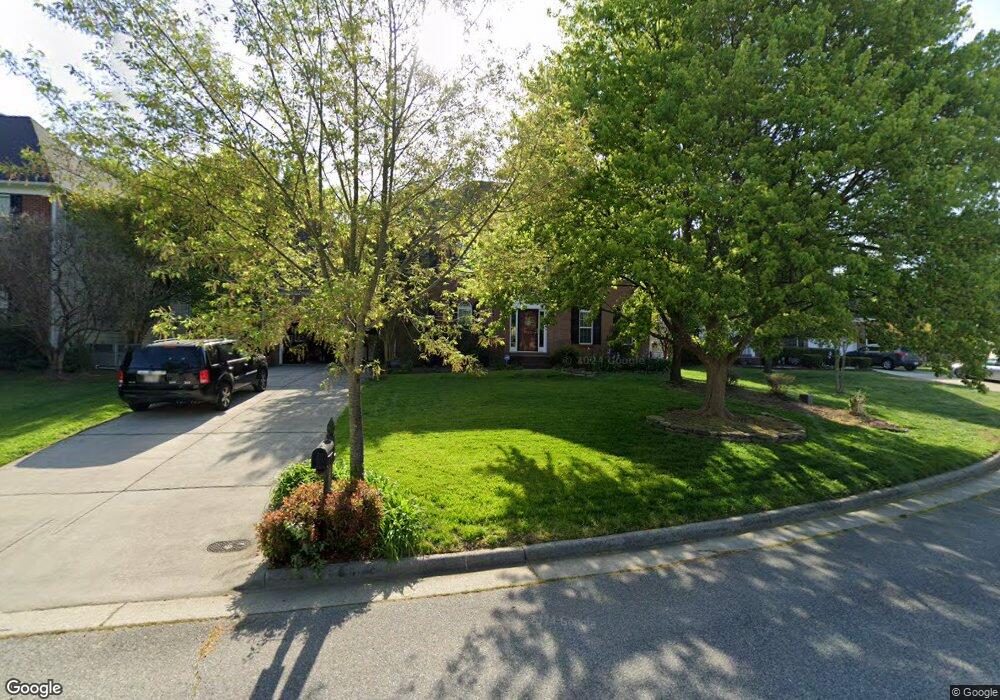
4362 Cedar Trail Ct High Point, NC 27265
Bent Tree NeighborhoodEstimated Value: $464,000 - $513,000
4
Beds
3
Baths
3,355
Sq Ft
$145/Sq Ft
Est. Value
About This Home
This home is located at 4362 Cedar Trail Ct, High Point, NC 27265 and is currently estimated at $485,667, approximately $144 per square foot. 4362 Cedar Trail Ct is a home located in Guilford County with nearby schools including Southwest Elementary School, Southwest Guilford Middle School, and Southwest Guilford High School.
Ownership History
Date
Name
Owned For
Owner Type
Purchase Details
Closed on
Jun 27, 2001
Sold by
The New Fortis Corp
Bought by
Burnham Erik D and Burnham Leslie B
Current Estimated Value
Home Financials for this Owner
Home Financials are based on the most recent Mortgage that was taken out on this home.
Original Mortgage
$202,050
Outstanding Balance
$77,865
Interest Rate
7.14%
Estimated Equity
$407,802
Create a Home Valuation Report for This Property
The Home Valuation Report is an in-depth analysis detailing your home's value as well as a comparison with similar homes in the area
Home Values in the Area
Average Home Value in this Area
Purchase History
| Date | Buyer | Sale Price | Title Company |
|---|---|---|---|
| Burnham Erik D | $253,000 | -- |
Source: Public Records
Mortgage History
| Date | Status | Borrower | Loan Amount |
|---|---|---|---|
| Open | Burnham Erik D | $202,050 | |
| Closed | Burnham Erik D | $22,950 |
Source: Public Records
Tax History
| Year | Tax Paid | Tax Assessment Tax Assessment Total Assessment is a certain percentage of the fair market value that is determined by local assessors to be the total taxable value of land and additions on the property. | Land | Improvement |
|---|---|---|---|---|
| 2025 | $5,702 | $413,800 | $85,000 | $328,800 |
| 2024 | $5,702 | $413,800 | $85,000 | $328,800 |
| 2023 | $5,702 | $413,800 | $85,000 | $328,800 |
| 2022 | $5,578 | $413,800 | $85,000 | $328,800 |
| 2021 | $3,568 | $258,900 | $48,000 | $210,900 |
| 2020 | $3,568 | $258,900 | $48,000 | $210,900 |
| 2019 | $3,568 | $258,900 | $0 | $0 |
| 2018 | $3,550 | $258,900 | $0 | $0 |
| 2017 | $3,568 | $258,900 | $0 | $0 |
| 2016 | $3,184 | $227,000 | $0 | $0 |
| 2015 | $3,201 | $227,000 | $0 | $0 |
| 2014 | $3,255 | $227,000 | $0 | $0 |
Source: Public Records
Map
Nearby Homes
- 3023 Maple Branch Dr
- 4301 Bradbury Way
- 3025 Sycamore Point Trail
- 4217 Chilton Way
- 3273 Alyssa Way
- 3114 Ironwood Flat Dr
- 4358 Ashton Oaks Ct
- 3477 Lilliefield Ln
- 2472 Birch View Dr
- 4304 Hardin Ct
- 2309 Faircloth Way
- 4008 Deerfield St
- 1515 Skeet Club Rd
- 3924 Braddock Rd
- 1517 Skeet Club Rd
- 715 Piedmont Crossing Dr Unit 14
- 748 Carneros Cir
- 4710 Willowstone Dr
- 2431 Tweedmore Ct
- 4712 Willowstone Dr
- 4358 Cedar Trail Ct
- 4364 Cedar Trail Ct
- 4368 Cedar Trail Ct
- 4354 Cedar Trail Ct
- 4359 Cedar Trail Ct
- 4363 Cedar Trail Ct
- 4355 Cedar Trail Ct
- 4372 Cedar Trail Ct
- 4351 Cedar Trail Ct
- 4367 Cedar Trail Ct
- 4350 Cedar Trail Ct
- 4371 Cedar Trail Ct
- 3000 Timberwolf Ave
- 2970 Maple Branch Dr
- 2974 Maple Branch Dr
- 2980 Maple Branch Dr
- 2964 Maple Branch Dr
- 3001 Timberwolf Ave
- 2992 Maple Branch Dr
- 4364 Peaceford Glen Dr
Your Personal Tour Guide
Ask me questions while you tour the home.