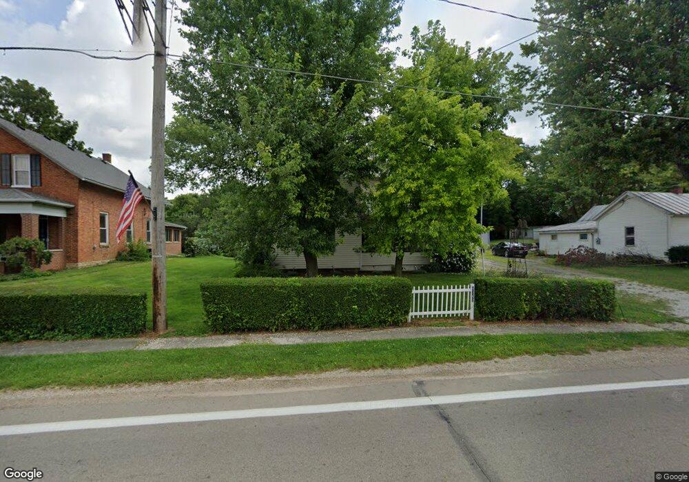
4362 State Route 203 Radnor, OH 43066
Estimated Value: $216,617 - $329,000
3
Beds
1
Bath
1,570
Sq Ft
$161/Sq Ft
Est. Value
About This Home
This home is located at 4362 State Route 203, Radnor, OH 43066 and is currently estimated at $252,904, approximately $161 per square foot. 4362 State Route 203 is a home located in Delaware County with nearby schools including Buckeye Valley High School.
Ownership History
Date
Name
Owned For
Owner Type
Purchase Details
Closed on
Oct 23, 1995
Sold by
Blythe Michael L
Bought by
Morris Steven A and Morris Deborah R
Current Estimated Value
Home Financials for this Owner
Home Financials are based on the most recent Mortgage that was taken out on this home.
Original Mortgage
$65,050
Outstanding Balance
$460
Interest Rate
7.68%
Mortgage Type
New Conventional
Estimated Equity
$252,444
Create a Home Valuation Report for This Property
The Home Valuation Report is an in-depth analysis detailing your home's value as well as a comparison with similar homes in the area
Home Values in the Area
Average Home Value in this Area
Purchase History
| Date | Buyer | Sale Price | Title Company |
|---|---|---|---|
| Morris Steven A | $68,500 | -- |
Source: Public Records
Mortgage History
| Date | Status | Borrower | Loan Amount |
|---|---|---|---|
| Open | Morris Steven A | $65,050 |
Source: Public Records
Tax History Compared to Growth
Tax History
| Year | Tax Paid | Tax Assessment Tax Assessment Total Assessment is a certain percentage of the fair market value that is determined by local assessors to be the total taxable value of land and additions on the property. | Land | Improvement |
|---|---|---|---|---|
| 2024 | $1,664 | $45,120 | $6,370 | $38,750 |
| 2023 | $1,663 | $45,120 | $6,370 | $38,750 |
| 2022 | $1,794 | $43,190 | $6,370 | $36,820 |
| 2021 | $1,796 | $43,190 | $6,370 | $36,820 |
| 2020 | $1,803 | $43,190 | $6,370 | $36,820 |
| 2019 | $1,533 | $36,230 | $5,530 | $30,700 |
| 2018 | $1,555 | $36,230 | $5,530 | $30,700 |
| 2017 | $1,397 | $34,550 | $4,830 | $29,720 |
| 2016 | $1,326 | $34,550 | $4,830 | $29,720 |
| 2015 | $1,399 | $34,550 | $4,830 | $29,720 |
| 2014 | $1,314 | $34,550 | $4,830 | $29,720 |
| 2013 | $1,316 | $32,870 | $4,830 | $28,040 |
Source: Public Records
Map
Nearby Homes
- 3414 State Route 203
- 2390 Penry Rd
- 3935 N Section Line Rd
- 2217 Radnor Rd
- 3232 Gallant Rd
- 4093 State Route 257
- 4518 State Route 257
- 1859 State Route 257 N
- 541 Willey Rd
- 6412 Troy Rd
- 0 Norton Rd Unit 225044832
- 0 Norton Rd Unit 225044831
- 0 Norton Rd
- 0 Norton Rd Unit 225044837
- 0 Norton Rd Unit 225044834
- 0 Norton Rd Unit 225044830
- 0 Norton Rd Unit 225044835
- 159 Marblewood Dr
- 631 Tyler Rd
- 2484 State Route 37 W
- 4362 Ohio 203
- 4350 State Route 203
- 4350 Ohio 203
- 4372 State Route 203
- 4340 State Route 203
- 4390 State Route 203
- 0 Ohio 203 Unit 2541789
- 0 Ohio 203 Unit 2512380
- 0 Ohio 203 Unit LT 6 2217845
- 0 Ohio 203 Unit LT 3 2214068
- 0 Ohio 203 Unit 1 2206147
- 0 Ohio 203
- 4377 State Route 203
- 4341 State Route 203
- 4324 State Route 203
- 4385 State Route 203
- 4331 State Route 203
- 4335 Baker St
- 4241 Radnor Rd
- 4389 State Route 203