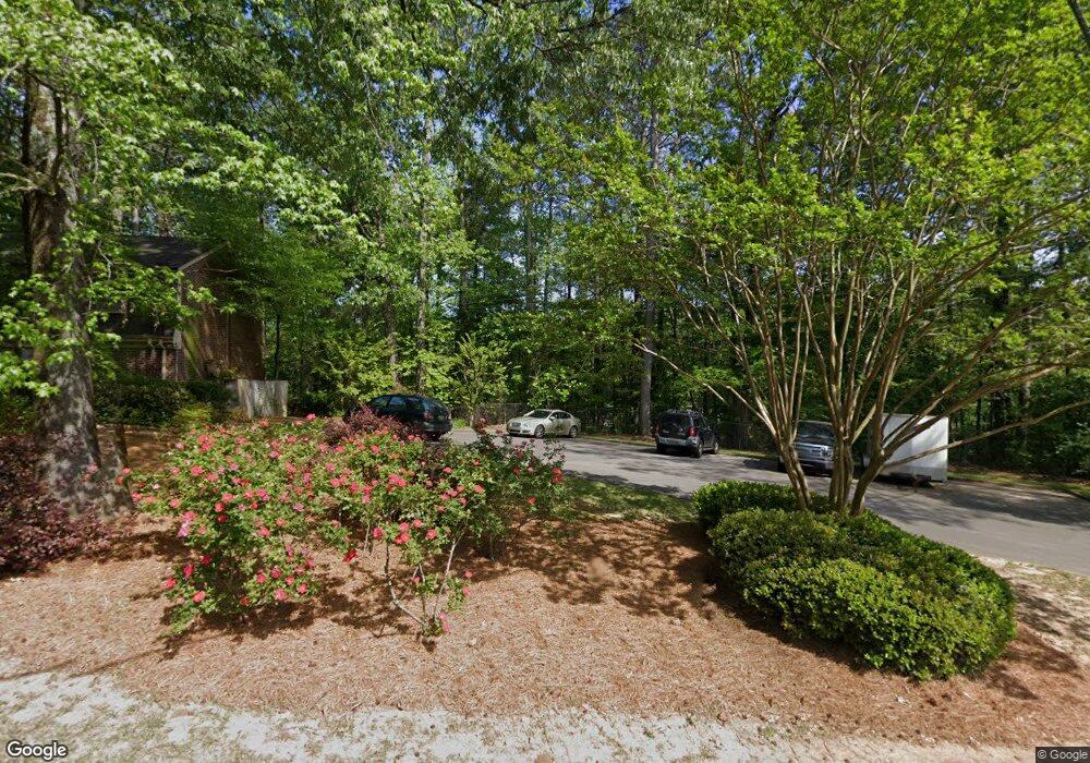
4363 Wilderness Ct Unit 4363WC Mountain Brook, AL 35213
Estimated Value: $253,802 - $345,000
2
Beds
3
Baths
1,495
Sq Ft
$193/Sq Ft
Est. Value
About This Home
This home is located at 4363 Wilderness Ct Unit 4363WC, Mountain Brook, AL 35213 and is currently estimated at $287,951, approximately $192 per square foot. 4363 Wilderness Ct Unit 4363WC is a home located in Jefferson County with nearby schools including Cherokee Bend Elementary School, Mt. Brook Junior High School, and Mt. Brook High School.
Ownership History
Date
Name
Owned For
Owner Type
Purchase Details
Closed on
Jun 23, 2015
Sold by
Adams Courtney L Saad
Bought by
Hubbard Caroline K
Current Estimated Value
Home Financials for this Owner
Home Financials are based on the most recent Mortgage that was taken out on this home.
Original Mortgage
$151,050
Outstanding Balance
$117,739
Interest Rate
3.93%
Mortgage Type
New Conventional
Estimated Equity
$170,212
Purchase Details
Closed on
Apr 27, 2006
Sold by
Wilson James E and Wilson Doris W
Bought by
Saad Courtney L
Home Financials for this Owner
Home Financials are based on the most recent Mortgage that was taken out on this home.
Original Mortgage
$154,000
Interest Rate
6.25%
Mortgage Type
Purchase Money Mortgage
Create a Home Valuation Report for This Property
The Home Valuation Report is an in-depth analysis detailing your home's value as well as a comparison with similar homes in the area
Home Values in the Area
Average Home Value in this Area
Purchase History
| Date | Buyer | Sale Price | Title Company |
|---|---|---|---|
| Hubbard Caroline K | $159,000 | -- | |
| Saad Courtney L | $192,500 | None Available |
Source: Public Records
Mortgage History
| Date | Status | Borrower | Loan Amount |
|---|---|---|---|
| Open | Hubbard Caroline K | $151,050 | |
| Previous Owner | Saad Courtney L | $154,000 |
Source: Public Records
Tax History Compared to Growth
Tax History
| Year | Tax Paid | Tax Assessment Tax Assessment Total Assessment is a certain percentage of the fair market value that is determined by local assessors to be the total taxable value of land and additions on the property. | Land | Improvement |
|---|---|---|---|---|
| 2024 | $2,428 | $22,760 | -- | $22,760 |
| 2022 | $2,428 | $9,340 | $0 | $9,340 |
| 2021 | $2,247 | $9,340 | $0 | $9,340 |
| 2020 | $2,247 | $9,340 | $0 | $9,340 |
| 2019 | $1,737 | $18,080 | $0 | $0 |
| 2018 | $1,676 | $17,460 | $0 | $0 |
| 2017 | $1,676 | $17,460 | $0 | $0 |
| 2016 | $1,638 | $17,080 | $0 | $0 |
| 2015 | $1,638 | $17,080 | $0 | $0 |
| 2014 | $1,698 | $14,640 | $0 | $0 |
| 2013 | $1,698 | $14,640 | $0 | $0 |
Source: Public Records
Map
Nearby Homes
- 73 Cross Creek Dr E
- 77 Cross Creek Dr E
- 4319 Kennesaw Dr
- 4529 Little River Rd
- 4559 Little River Rd
- 341 Bush St
- 4208 Wilderness Rd
- 329 Rosewood St
- 332 Bush St
- 4369 Mountaindale Rd
- 312 Rosewood St
- 4817 Fulmar Dr
- 4760 Vermont Ave
- 4341 Mountaindale Rd
- 4353 Montevallo Rd
- 236 Rosewood St
- 229 Rosewood St
- 232 Alpine St
- 607 Strathmore Rd
- 4324 Warren Rd
- 4330 Wilderness Rd Unit 4330W
- 4341 Little River Rd
- 4307 Little River Rd Unit 4307L
- 4335 Little River Rd
- 4311 Little River Rd
- 4309 Little River Rd
- 4361 Wilderness Ct Unit 4361WC
- 4308 Wilderness Rd
- 4311 Little River Rd Unit 4311
- 4341 Little River Rd Unit L
- 4309 Little River Rd Unit L
- 4335 Little River Rd Unit L
- 4345 Wilderness Ct Unit WC
- 4333 Little River Rd
- 4367 Wilderness Ct
- 4337 Wilderness Ct Unit 4337WC
- 4367 Wilderness Ct Unit WC
- 4331 Little River Rd Unit 4331L
- 4347 Little River Rd Unit 4347L
- 4339 Wilderness Ct Unit 4339WC
