43631 Riverbend Dr N Unit 1 Clinton Township, MI 48038
Estimated Value: $247,796 - $285,000
2
Beds
2
Baths
1,161
Sq Ft
$233/Sq Ft
Est. Value
About This Home
This home is located at 43631 Riverbend Dr N Unit 1, Clinton Township, MI 48038 and is currently estimated at $269,949, approximately $232 per square foot. 43631 Riverbend Dr N Unit 1 is a home located in Macomb County with nearby schools including Erie Elementary School, Wyandot Middle School, and Chippewa Valley High School.
Ownership History
Date
Name
Owned For
Owner Type
Purchase Details
Closed on
Dec 13, 2021
Sold by
Diana Mersino
Bought by
Marvin Jeffrey and Fritz Dawn
Current Estimated Value
Purchase Details
Closed on
Sep 15, 2008
Sold by
Cole Debra
Bought by
Mersino Duane and Mersino Diana J
Purchase Details
Closed on
Feb 20, 2008
Sold by
Cole Debra
Bought by
Cole Debra
Purchase Details
Closed on
Jul 24, 1997
Sold by
Bailey P
Bought by
Kop E and Kop A
Create a Home Valuation Report for This Property
The Home Valuation Report is an in-depth analysis detailing your home's value as well as a comparison with similar homes in the area
Home Values in the Area
Average Home Value in this Area
Purchase History
| Date | Buyer | Sale Price | Title Company |
|---|---|---|---|
| Marvin Jeffrey | -- | Land Title | |
| Mersino Duane | $137,000 | Greco | |
| Cole Debra | -- | Greco | |
| Kop E | $148,900 | -- |
Source: Public Records
Tax History Compared to Growth
Tax History
| Year | Tax Paid | Tax Assessment Tax Assessment Total Assessment is a certain percentage of the fair market value that is determined by local assessors to be the total taxable value of land and additions on the property. | Land | Improvement |
|---|---|---|---|---|
| 2025 | $2,789 | $114,700 | $0 | $0 |
| 2024 | $1,661 | $112,200 | $0 | $0 |
| 2023 | $1,576 | $99,900 | $0 | $0 |
| 2022 | $2,527 | $86,200 | $0 | $0 |
| 2021 | $2,457 | $82,300 | $0 | $0 |
| 2020 | $1,446 | $79,700 | $0 | $0 |
| 2019 | $2,289 | $75,000 | $0 | $0 |
| 2018 | $2,248 | $71,100 | $0 | $0 |
| 2017 | $2,222 | $67,300 | $15,000 | $52,300 |
| 2016 | $2,208 | $67,300 | $0 | $0 |
| 2015 | -- | $62,500 | $0 | $0 |
| 2014 | -- | $57,300 | $0 | $0 |
| 2011 | -- | $53,600 | $0 | $53,600 |
Source: Public Records
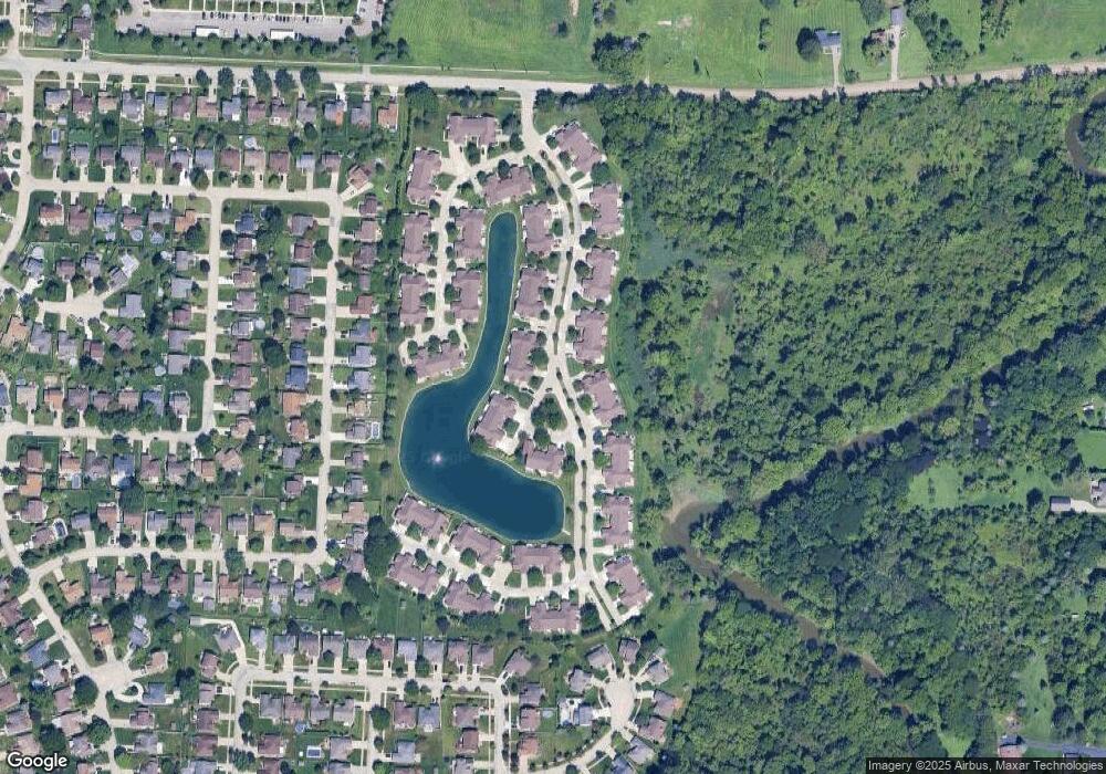
Map
Nearby Homes
- 43440 Riverbend Blvd
- 43378 Riverbend Blvd
- 20784 Cannon Dr
- 20757 Cueter Ln
- 20654 Dunham Rd Unit 24
- 44000 Dunham Ct
- 43300 Little Rd
- 20561 Longwood Dr Unit 64
- 20465 Saint Laurence Dr
- 42243 Little Rd
- 0 Clinton River Rd Unit 20251013874
- 281 Carlson St
- 42328 Sheridan Ct
- 42415 Colorado Dr Unit 14
- 62 Rosebud Ln Unit C47
- 42125 Little Rd
- 44130 Cadburry Dr
- 20387 Villa Grande Cir Unit 19
- 19790 Westchester Dr Unit 11
- 43377 Rivergate Dr
- 43601 Riverbend Dr N
- 43477 Riverbend Blvd
- 43459 Riverbend Blvd Unit 11, 42
- 43447 Riverbend Blvd
- 43459 Riverbend Blvd
- 43465 Riverbend Blvd
- 43459 Riverbend Blvd Unit 42
- 43453 Riverbend Blvd
- 43472 Riverbend Blvd
- 43478 Riverbend Blvd
- 43484 Riverbend Blvd
- 43510 Riverbend Blvd
- 43428 Riverbend Blvd
- 43434 Riverbend Blvd
- 43466 Riverbend Blvd
- 43440 Riverbend Blvd
- 43440 Riverbend Blvd Unit 68
- 43421 Riverbend Blvd
- 43427 Riverbend Blvd Unit 47
- 43433 Riverbend Blvd