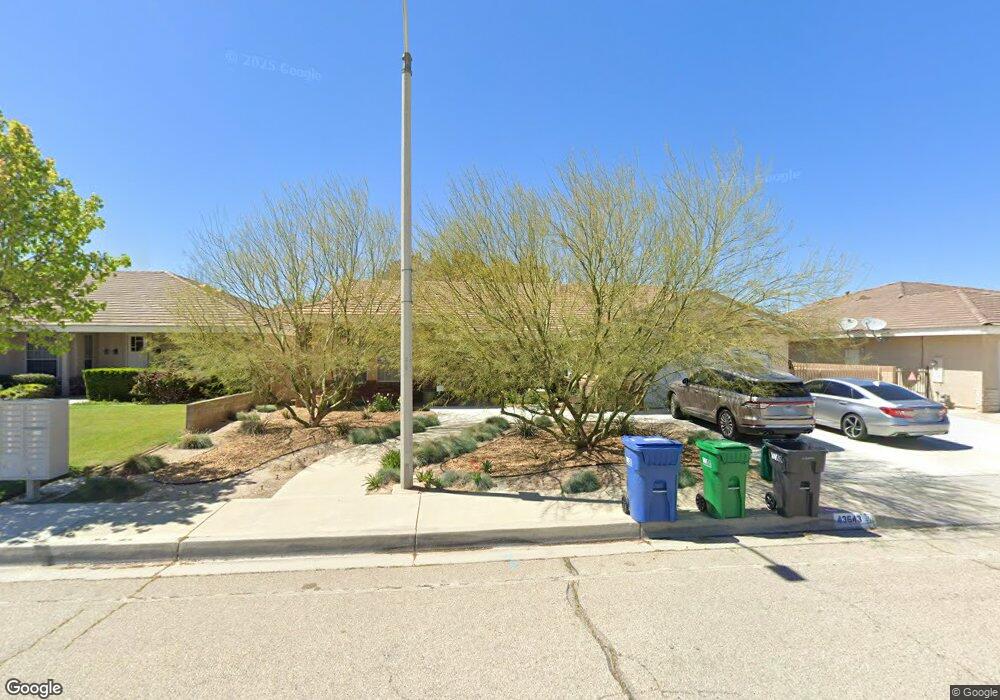
43643 Colony Dr Lancaster, CA 93536
West Lancaster NeighborhoodEstimated Value: $554,000 - $619,000
4
Beds
3
Baths
2,443
Sq Ft
$237/Sq Ft
Est. Value
About This Home
This home is located at 43643 Colony Dr, Lancaster, CA 93536 and is currently estimated at $579,533, approximately $237 per square foot. 43643 Colony Dr is a home located in Los Angeles County with nearby schools including West Wind Elementary School, Amargosa Creek Middle School, and Lancaster High School.
Ownership History
Date
Name
Owned For
Owner Type
Purchase Details
Closed on
Feb 12, 2024
Sold by
Rojan Suzanne L
Bought by
Suzanne Rojan Family Trust and Rojan
Current Estimated Value
Purchase Details
Closed on
Apr 7, 1998
Sold by
Rojan Suzanne L
Bought by
Rojan Suzanne L
Home Financials for this Owner
Home Financials are based on the most recent Mortgage that was taken out on this home.
Original Mortgage
$171,000
Interest Rate
7.07%
Create a Home Valuation Report for This Property
The Home Valuation Report is an in-depth analysis detailing your home's value as well as a comparison with similar homes in the area
Home Values in the Area
Average Home Value in this Area
Purchase History
| Date | Buyer | Sale Price | Title Company |
|---|---|---|---|
| Suzanne Rojan Family Trust | -- | None Listed On Document | |
| Rojan Suzanne L | -- | Stewart Title |
Source: Public Records
Mortgage History
| Date | Status | Borrower | Loan Amount |
|---|---|---|---|
| Previous Owner | Rojan Suzanne L | $171,000 |
Source: Public Records
Tax History
| Year | Tax Paid | Tax Assessment Tax Assessment Total Assessment is a certain percentage of the fair market value that is determined by local assessors to be the total taxable value of land and additions on the property. | Land | Improvement |
|---|---|---|---|---|
| 2025 | $6,247 | $407,602 | $80,424 | $327,178 |
| 2024 | $6,247 | $399,611 | $78,848 | $320,763 |
| 2023 | $6,114 | $391,776 | $77,302 | $314,474 |
| 2022 | $5,918 | $384,095 | $75,787 | $308,308 |
| 2021 | $5,439 | $376,564 | $74,301 | $302,263 |
| 2019 | $5,275 | $365,398 | $72,099 | $293,299 |
| 2018 | $4,901 | $335,000 | $66,200 | $268,800 |
| 2016 | $4,404 | $303,000 | $59,900 | $243,100 |
| 2015 | $4,011 | $270,000 | $53,400 | $216,600 |
| 2014 | $3,820 | $252,000 | $49,800 | $202,200 |
Source: Public Records
Map
Nearby Homes
- 43648 Colony Dr
- 3832 W Avenue j11
- 4019 W Avenue j9
- 3812 Jonathon Ct
- 0 Cor Avenue K4 and 42nd Stw Unit 25004028
- 44047 Colony Ct
- 4225 Vahan Ct
- 43890 Moccasin Place
- 4244 Jonathon St
- 43929 44th St W
- 44108 Countryside Dr
- 43834 Firewood Way
- 44137 37th St W
- 43864 Firewood Way
- 3273 W Avenue j10
- 43948 Spring St
- 4614 Stillmeadow Ln
- 43353 Honeybee Ln
- 43521 Blossom Dr
- 4258 W Avenue k8
- 43649 Colony Dr
- 43635 Colony Dr
- 43627 Colony Dr
- 43640 Colony Dr
- 43621 Colony Dr
- 3859 W Avenue j15
- 43654 Colony Dr
- 3839 Spice St
- 3851 W Avenue j15
- 3843 W Avenue j15
- 43645 Countryside Dr
- 43653 Countryside Dr
- 3831 Spice St
- 3824 W Avenue j15
- 43615 Colony Dr
- 43701 Colony Dr
- 43659 Countryside Dr
- 43700 Colony Dr
- 3823 Spice St
- 43707 Countryside Dr
Your Personal Tour Guide
Ask me questions while you tour the home.