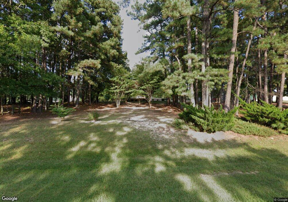
4365 Nc 39 Hwy S Henderson, NC 27537
Estimated Value: $240,000 - $391,000
3
Beds
2
Baths
2,506
Sq Ft
$132/Sq Ft
Est. Value
About This Home
This home is located at 4365 Nc 39 Hwy S, Henderson, NC 27537 and is currently estimated at $330,482, approximately $131 per square foot. 4365 Nc 39 Hwy S is a home with nearby schools including Clarke Elementary School, Henderson Middle School, and Vance County High School.
Ownership History
Date
Name
Owned For
Owner Type
Purchase Details
Closed on
Jul 7, 2015
Sold by
Stainback Beaufort Hedgepeth and Stainback Beaufort Hedgepath
Bought by
Poythress Dennis M and Poythress Sandra Lynn Williams
Current Estimated Value
Home Financials for this Owner
Home Financials are based on the most recent Mortgage that was taken out on this home.
Original Mortgage
$20,000
Interest Rate
3.89%
Create a Home Valuation Report for This Property
The Home Valuation Report is an in-depth analysis detailing your home's value as well as a comparison with similar homes in the area
Home Values in the Area
Average Home Value in this Area
Purchase History
| Date | Buyer | Sale Price | Title Company |
|---|---|---|---|
| Poythress Dennis M | $24,000 | None Available |
Source: Public Records
Mortgage History
| Date | Status | Borrower | Loan Amount |
|---|---|---|---|
| Closed | Poythress Dennis M | $20,000 |
Source: Public Records
Tax History Compared to Growth
Tax History
| Year | Tax Paid | Tax Assessment Tax Assessment Total Assessment is a certain percentage of the fair market value that is determined by local assessors to be the total taxable value of land and additions on the property. | Land | Improvement |
|---|---|---|---|---|
| 2025 | $2,593 | $304,726 | $25,780 | $278,946 |
| 2024 | $2,511 | $304,726 | $25,780 | $278,946 |
| 2023 | $1,383 | $129,033 | $12,177 | $116,856 |
| 2022 | $1,383 | $129,033 | $12,177 | $116,856 |
| 2021 | $1,263 | $129,033 | $12,177 | $116,856 |
| 2020 | $1,380 | $129,033 | $12,177 | $116,856 |
| 2019 | $1,375 | $129,033 | $12,177 | $116,856 |
| 2018 | $1,205 | $129,033 | $12,177 | $116,856 |
| 2017 | $1,214 | $118,748 | $12,177 | $106,571 |
| 2016 | $1,214 | $118,748 | $12,177 | $106,571 |
| 2015 | $1,033 | $137,010 | $24,295 | $112,715 |
| 2014 | $1,141 | $124,538 | $11,771 | $112,767 |
Source: Public Records
Map
Nearby Homes
- 910 Vanco Mill Rd
- 156 Daffodil Dr
- 85 Southside Estates Ct
- 00 Garrett Rd
- 1175 Faulkner Town Rd
- 230 Big Buck Rd
- 731 Fawn Dr
- 870 Abbott Rd
- 485 Lemay Ln
- 605 Sagefield Way
- 00 Bearpond Rd
- 1850 Gillburg Rd
- 3124 Raleigh Rd
- 1000 Club Pond Rd
- 0 Victory St Unit 10119455
- 1816 S Clearview Dr
- 1851 S Clearview Dr
- Lot A Vicksboro Rd
- 155 1st St
- 93 Grove Park Ln
- 4312 Nc 39 Hwy S
- 4284 Nc 39 Hwy S
- 84 S Oakwood Ln
- 4335 Nc 39 Hwy S
- 83 S Oakwood Ln
- 4234 Nc 39 Hwy S
- 55 S Oakwood Ln
- 20 Eagle Ln
- 137 Victory Ln
- 2458 Rock Mill Rd
- 3 N Oakwood Ln
- 2465 Rock Mill Rd
- 85 Victory Ln
- 2424 Rock Mill Rd
- 2443 Rock Mill Rd
- 4167 S Nc 39 Hwy
- 2485 Rock Mill Rd
- 2563 Rock Mill Rd
- 2429 Rock Mill Rd
- 598 Nc 39 Loop Rd
