4365 Seaman Rd Dixie, WA 99329
Estimated Value: $220,000 - $595,000
1
Bed
3
Baths
1,196
Sq Ft
$391/Sq Ft
Est. Value
About This Home
This home is located at 4365 Seaman Rd, Dixie, WA 99329 and is currently estimated at $467,926, approximately $391 per square foot. 4365 Seaman Rd is a home with nearby schools including Dixie Elementary School.
Ownership History
Date
Name
Owned For
Owner Type
Purchase Details
Closed on
Dec 6, 2023
Sold by
Leary Margaret and Leary Debra
Bought by
Leary And Rankin Revocable Trust and Leary
Current Estimated Value
Purchase Details
Closed on
Aug 22, 2008
Sold by
Weimer Jonathan and Weimer Mary
Bought by
Leary Margaret and Rankin Debra
Create a Home Valuation Report for This Property
The Home Valuation Report is an in-depth analysis detailing your home's value as well as a comparison with similar homes in the area
Home Values in the Area
Average Home Value in this Area
Purchase History
| Date | Buyer | Sale Price | Title Company |
|---|---|---|---|
| Leary And Rankin Revocable Trust | -- | Land Title | |
| Leary Margaret | $165,000 | Land Title Of Walla Walla Co |
Source: Public Records
Tax History Compared to Growth
Tax History
| Year | Tax Paid | Tax Assessment Tax Assessment Total Assessment is a certain percentage of the fair market value that is determined by local assessors to be the total taxable value of land and additions on the property. | Land | Improvement |
|---|---|---|---|---|
| 2024 | $3,495 | $461,010 | $122,380 | $338,630 |
| 2023 | $3,495 | $430,230 | $91,600 | $338,630 |
| 2022 | $3,165 | $362,500 | $91,600 | $270,900 |
| 2021 | $3,114 | $317,350 | $91,600 | $225,750 |
| 2020 | $3,088 | $306,600 | $91,600 | $215,000 |
| 2019 | $3,109 | $306,600 | $91,600 | $215,000 |
| 2018 | $3,905 | $306,600 | $91,600 | $215,000 |
| 2017 | $3,392 | $333,840 | $91,600 | $242,240 |
| 2016 | $3,332 | $311,820 | $91,600 | $220,220 |
| 2015 | $3,365 | $291,800 | $91,600 | $200,200 |
| 2014 | -- | $291,800 | $91,600 | $200,200 |
| 2013 | -- | $291,800 | $91,600 | $200,200 |
Source: Public Records
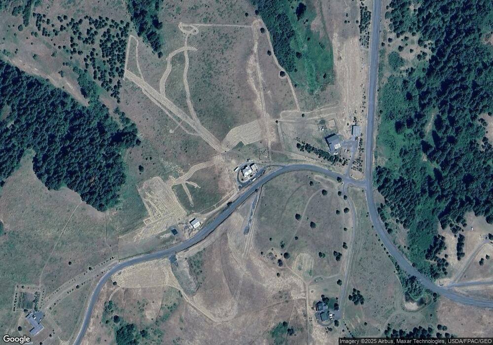
Map
Nearby Homes
- 6379 Lewis Peak Rd
- 0 Lot 3 Biscuit Ridge Rd
- 0 Lot 2 Biscuit Ridge Rd
- 0 Lot 1 Biscuit Ridge Rd
- 3622 Lewis Peak Rd
- 0 S Fork Coppei Rd Unit NWM2316443
- 373 Tracy Rd
- 9305 Lewis Peak Rd
- 0 Seaman Rd Unit NWM2319564
- 9400 Lewis Peak Rd
- 135 Burnt Fork Ln
- 34 Cochran St
- 430 Klicker Mountain Rd
- 10009 E Highway 12
- 18 Blue Creek Rd
- 469 Tag Ln
- 48 Blue Jay Loop
- 10246 Mill Creek Rd
- 2818 Waggoner Rd
- 3070 Reservoir Rd
- 4528 Seaman Rd
- 4544 Seaman Rd
- 5767 Lewis Peak Rd
- 885 Scott Rd
- 5350 Lewis Peak Rd
- 3559 Seaman Rd
- 3553 Seaman Rd
- 729 Scott Rd
- 5112 Lewis Peak Rd
- 671 Scott Rd
- 5116 Lewis Peak Rd
- 3600 Seaman Rd
- 5139 Lewis Peak Rd
- 5883 Lewis Peak Rd
- 6312 S Fork Coppei
- 11142 Lewis Peak Rd
- 611 Scott Rd
- 4990 Lewis Peak Rd
- 0 Lot 7 Scott Canyon Rd
- 1465 Scott Rd