43663 Paw Paw Rd Paw Paw, MI 49079
Estimated Value: $330,000 - $383,000
4
Beds
2
Baths
2,350
Sq Ft
$153/Sq Ft
Est. Value
About This Home
This home is located at 43663 Paw Paw Rd, Paw Paw, MI 49079 and is currently estimated at $359,503, approximately $152 per square foot. 43663 Paw Paw Rd is a home located in Van Buren County with nearby schools including Paw Paw Early Elementary School, Paw Paw Later Elementary School, and Paw Paw Middle School.
Ownership History
Date
Name
Owned For
Owner Type
Purchase Details
Closed on
Dec 2, 2007
Sold by
Wippel Francis Charles and Wippel Virginia Speeter
Bought by
Wippel Virginia Speeter
Current Estimated Value
Home Financials for this Owner
Home Financials are based on the most recent Mortgage that was taken out on this home.
Original Mortgage
$106,000
Outstanding Balance
$66,502
Interest Rate
6.13%
Mortgage Type
Stand Alone Second
Estimated Equity
$293,002
Purchase Details
Closed on
Jul 27, 1995
Sold by
Lurkins James E and Lurkins Kathleen
Bought by
Wippel Francis and Wippel Virginia
Create a Home Valuation Report for This Property
The Home Valuation Report is an in-depth analysis detailing your home's value as well as a comparison with similar homes in the area
Home Values in the Area
Average Home Value in this Area
Purchase History
| Date | Buyer | Sale Price | Title Company |
|---|---|---|---|
| Wippel Virginia Speeter | -- | None Available | |
| Wippel Francis | $49,300 | -- |
Source: Public Records
Mortgage History
| Date | Status | Borrower | Loan Amount |
|---|---|---|---|
| Open | Wippel Virginia Speeter | $106,000 |
Source: Public Records
Tax History Compared to Growth
Tax History
| Year | Tax Paid | Tax Assessment Tax Assessment Total Assessment is a certain percentage of the fair market value that is determined by local assessors to be the total taxable value of land and additions on the property. | Land | Improvement |
|---|---|---|---|---|
| 2025 | $3,167 | $142,900 | $0 | $0 |
| 2024 | $961 | $126,300 | $0 | $0 |
| 2023 | $915 | $111,700 | $0 | $0 |
| 2022 | $872 | $97,200 | $0 | $0 |
| 2021 | $2,617 | $99,300 | $12,000 | $87,300 |
| 2020 | $2,617 | $100,200 | $12,000 | $88,200 |
| 2019 | $2,493 | $94,500 | $94,500 | $0 |
| 2018 | $2,434 | $86,500 | $86,500 | $0 |
| 2017 | $2,367 | $80,100 | $0 | $0 |
| 2016 | $2,351 | $80,700 | $0 | $0 |
| 2015 | $2,092 | $80,700 | $0 | $0 |
| 2014 | $2,054 | $70,211 | $0 | $0 |
| 2013 | -- | $72,100 | $72,100 | $0 |
Source: Public Records
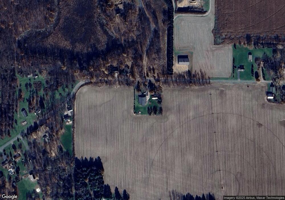
Map
Nearby Homes
- 43618 Carla Dr
- 0 Palmer Dr
- 0 70th Ave
- 44850 Woodman Dr
- 60846 N Lakeshore Dr
- 58356 Cr 671
- 59388 41st St
- 58797 Territorial Rd
- Parcel A Territorial Rd
- 44702 B 56th Ave
- 66598 Territorial Rd
- 38126 72nd Ave
- 38126 72nd Ave Unit b
- 73541 39th St
- 69217 51st St
- 41004 80th Ave
- 1 Kasper Dr
- 80660 42nd St
- 37111 Paw Rd
- 38347 County Road 374
- 43752 Paw Paw Rd
- 43752 Paw Rd
- 43836 Paw Paw Rd
- 43836 Paw Rd
- 43928 Paw Paw Rd
- 43928 Paw Paw Rd
- 44029 Paw Paw Rd
- 44029 Paw Paw Rd
- 43708 Paw Paw Rd
- 43708 Paw Paw Rd
- 44107 Paw Paw Rd
- 44107 Paw Paw Rd
- 43340 Paw Paw Rd
- 43840 Carla Dr
- 43870 Carla Dr
- 44118 Paw Paw Rd
- 44181 Paw Paw Rd
- 44181 Paw Rd
- 43524 Duane Ln
- 43510 Duane Ln