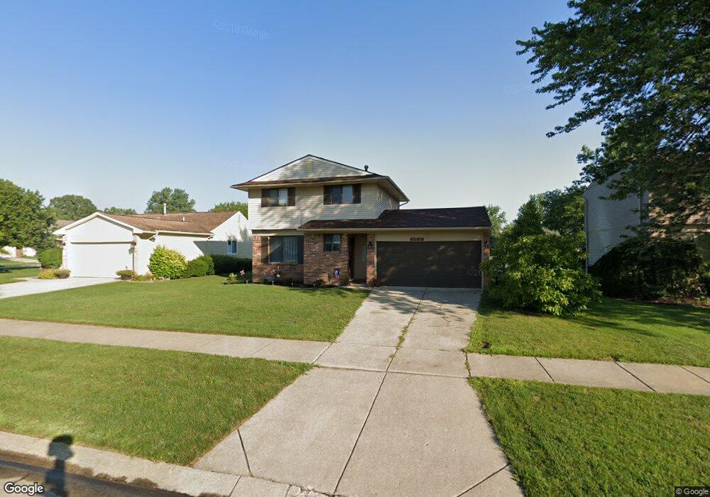
43672 Emrick Dr Unit Bldg-Unit Canton, MI 48187
Estimated Value: $320,347 - $349,000
--
Bed
2
Baths
1,233
Sq Ft
$272/Sq Ft
Est. Value
About This Home
This home is located at 43672 Emrick Dr Unit Bldg-Unit, Canton, MI 48187 and is currently estimated at $335,087, approximately $271 per square foot. 43672 Emrick Dr Unit Bldg-Unit is a home located in Wayne County with nearby schools including Canton High School, Discovery Middle School, and Salem High School.
Ownership History
Date
Name
Owned For
Owner Type
Purchase Details
Closed on
Jan 5, 2018
Sold by
Ammar Acquistion Llc
Bought by
Loos Steven
Current Estimated Value
Purchase Details
Closed on
Jul 19, 2017
Sold by
Wiloch Denise R and Wiloch Thomas J
Bought by
Ammar Acquistion Llc
Purchase Details
Closed on
Jun 15, 2017
Sold by
Wilcoh Thomas J and Wilcoh Denise R
Bought by
Alvers Llc
Create a Home Valuation Report for This Property
The Home Valuation Report is an in-depth analysis detailing your home's value as well as a comparison with similar homes in the area
Home Values in the Area
Average Home Value in this Area
Purchase History
| Date | Buyer | Sale Price | Title Company |
|---|---|---|---|
| Loos Steven | $189,900 | Venture Title Agency | |
| Ammar Acquistion Llc | $153,500 | Venture Title Agency | |
| Alvers Llc | $89,083 | None Available |
Source: Public Records
Tax History Compared to Growth
Tax History
| Year | Tax Paid | Tax Assessment Tax Assessment Total Assessment is a certain percentage of the fair market value that is determined by local assessors to be the total taxable value of land and additions on the property. | Land | Improvement |
|---|---|---|---|---|
| 2025 | $1,967 | $135,600 | $0 | $0 |
| 2024 | $1,967 | $128,800 | $0 | $0 |
| 2023 | $1,875 | $117,400 | $0 | $0 |
| 2022 | $4,124 | $107,800 | $0 | $0 |
| 2021 | $4,002 | $105,100 | $0 | $0 |
| 2020 | $3,951 | $98,700 | $0 | $0 |
| 2019 | $3,873 | $92,460 | $0 | $0 |
| 2018 | $1,506 | $85,510 | $0 | $0 |
| 2017 | $2,967 | $80,800 | $0 | $0 |
| 2016 | $2,606 | $80,300 | $0 | $0 |
| 2015 | $6,359 | $74,510 | $0 | $0 |
| 2013 | $6,160 | $64,140 | $0 | $0 |
| 2010 | -- | $62,580 | $32,500 | $30,080 |
Source: Public Records
Map
Nearby Homes
- 5887 Northford
- 1796 Oakview Dr
- 58560 Stuart Dr
- 1322 Saltz Ct
- 1494 Ranier Blvd
- 1822 N Sheldon Rd
- 44150 Duchess Dr
- 6011 Beaufort Dr
- 44497 Savery Dr Unit 103
- 43625 Westminister Way
- 1710 Longfellow Dr
- 43530 Westminister Way
- 43706 Westminister Way
- 437 Corinne Blvd
- 407 N Willard Rd
- 42771 Lilley Pointe Dr Unit 154
- 1625 Longfellow Dr
- 42789 Lilley Pointe Dr Unit 146
- 42479 Redfern St
- 44320 Harsdale Ct
- 43672 Emrick Dr
- 43650 Emrick Dr
- 43694 Emrick Dr
- 1640 Willard Dr
- 43638 Emrick Dr
- 1656 Willard Dr
- 0 Willard Dr
- 43671 Emrick Dr
- 43616 Emrick Dr
- 43649 Emrick Dr
- 43693 Emrick Dr
- 1595 Willard Dr
- 43637 Emrick Dr Unit Bldg-Unit
- 43637 Emrick Dr
- 1670 Willard Dr
- 1631 Willard Dr
- 43645 Fleetwood Dr
- 43673 Fleetwood Dr
- 43594 Emrick Dr
- 43631 Fleetwood Dr