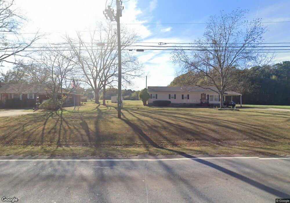
4369 Salem Rd Covington, GA 30016
Estimated Value: $225,901 - $275,000
Studio
2
Baths
1,498
Sq Ft
$170/Sq Ft
Est. Value
About This Home
This home is located at 4369 Salem Rd, Covington, GA 30016 and is currently estimated at $254,975, approximately $170 per square foot. 4369 Salem Rd is a home located in Newton County with nearby schools including West Newton Elementary School, Veterans Memorial Middle School, and Alcovy High School.
Ownership History
Date
Name
Owned For
Owner Type
Purchase Details
Closed on
May 17, 2006
Sold by
Mitchell Robin M
Bought by
Mitchell Robin M and Mitchell Donald R
Current Estimated Value
Home Financials for this Owner
Home Financials are based on the most recent Mortgage that was taken out on this home.
Original Mortgage
$120,000
Outstanding Balance
$68,512
Interest Rate
6.44%
Mortgage Type
New Conventional
Estimated Equity
$186,463
Create a Home Valuation Report for This Property
The Home Valuation Report is an in-depth analysis detailing your home's value as well as a comparison with similar homes in the area
Home Values in the Area
Average Home Value in this Area
Purchase History
| Date | Buyer | Sale Price | Title Company |
|---|---|---|---|
| Mitchell Robin M | -- | -- |
Source: Public Records
Mortgage History
| Date | Status | Borrower | Loan Amount |
|---|---|---|---|
| Open | Mitchell Robin M | $120,000 |
Source: Public Records
Tax History
| Year | Tax Paid | Tax Assessment Tax Assessment Total Assessment is a certain percentage of the fair market value that is determined by local assessors to be the total taxable value of land and additions on the property. | Land | Improvement |
|---|---|---|---|---|
| 2025 | $1,940 | $84,680 | $35,720 | $48,960 |
| 2024 | $1,708 | $71,280 | $20,320 | $50,960 |
| 2023 | $1,734 | $67,760 | $20,320 | $47,440 |
| 2022 | $1,471 | $58,080 | $20,320 | $37,760 |
| 2021 | $1,426 | $50,920 | $20,320 | $30,600 |
| 2020 | $1,384 | $45,080 | $15,240 | $29,840 |
| 2019 | $1,240 | $40,240 | $15,240 | $25,000 |
| 2018 | $1,234 | $39,840 | $15,240 | $24,600 |
| 2017 | $1,143 | $37,200 | $12,720 | $24,480 |
| 2016 | $1,042 | $34,240 | $12,720 | $21,520 |
| 2015 | $1,027 | $33,800 | $12,720 | $21,080 |
| 2014 | $680 | $23,720 | $0 | $0 |
Source: Public Records
Map
Nearby Homes
- 25 Buckeye Cir
- 115 Buck Creek Dr
- 125 Buck Creek Dr
- 50 Freedom Ct
- 80 Barge Ln
- 165 Tulip Dr
- 40 Freebia Walk
- 231 St Annes Place
- 231 Saint Anne's Place
- 161 Geranium Ln
- 45 Geranium Ln
- 75 Tulip Dr
- 4681 Salem Rd
- 113 St Annes Place
- 149 St Annes Place
- 465 St Annes Place
- 160 Charleston Place
- 615 St Annes Place
- 30 Vermillion Way
- 20 Greenway Dr
- 4355 Salem Rd
- 4364 Salem Rd
- 20 Smith Store Rd
- 4341 Salem Rd
- 0 Smith Store Rd
- 0 Smith Store Rd Unit 7529397
- 0 Smith Store Rd Unit 10464876
- 0 Smith Store Rd Unit 7529396
- 0 Smith Store Rd Unit 7343122
- 0 Smith Store Rd Unit 10257755
- 0 Smith Store Rd Unit 2946985
- 0 Smith Store Rd Unit 6846959
- 0 Smith Store Rd Unit 1 8934890
- 4346 Salem Rd
- 4332 Salem Rd
- 26 Smith Store Rd
- 4425 Salem Rd Unit 4447
- 4425 Salem Rd
- 20 Millers Ln
- 30 Millers Ln
Your Personal Tour Guide
Ask me questions while you tour the home.