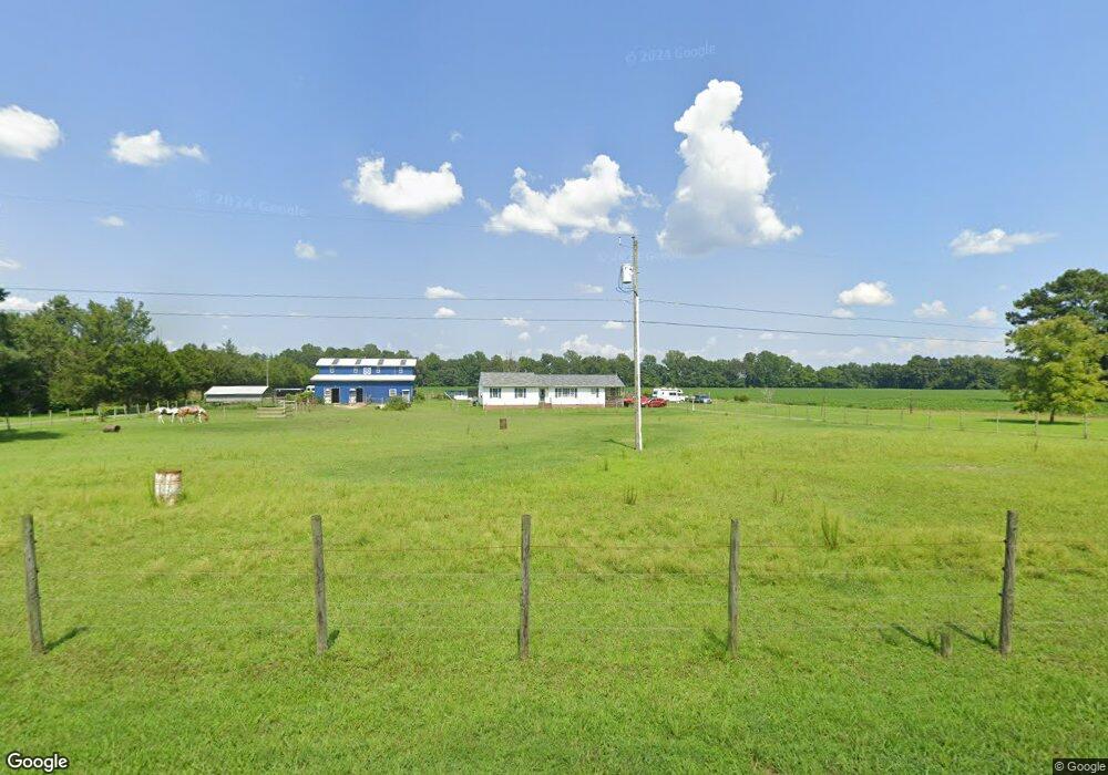
4369 Wakema Rd West Point, VA 23181
Estimated Value: $350,000 - $461,000
3
Beds
2
Baths
1,678
Sq Ft
$236/Sq Ft
Est. Value
About This Home
This home is located at 4369 Wakema Rd, West Point, VA 23181 and is currently estimated at $396,296, approximately $236 per square foot. 4369 Wakema Rd is a home located in King William County with nearby schools including Cool Spring Primary School, Acquinton Elementary School, and Hamilton Holmes Middle School.
Ownership History
Date
Name
Owned For
Owner Type
Purchase Details
Closed on
Sep 21, 2022
Sold by
Lipscomb David James and Lipscomb Sharon C
Bought by
Lipscomb Sharon C
Current Estimated Value
Create a Home Valuation Report for This Property
The Home Valuation Report is an in-depth analysis detailing your home's value as well as a comparison with similar homes in the area
Purchase History
| Date | Buyer | Sale Price | Title Company |
|---|---|---|---|
| Lipscomb Sharon C | -- | None Listed On Document | |
| Lipscomb Sharon C | -- | -- |
Source: Public Records
Tax History
| Year | Tax Paid | Tax Assessment Tax Assessment Total Assessment is a certain percentage of the fair market value that is determined by local assessors to be the total taxable value of land and additions on the property. | Land | Improvement |
|---|---|---|---|---|
| 2025 | $1,538 | $280,600 | $103,200 | $177,400 |
| 2024 | $1,451 | $280,600 | $103,200 | $177,400 |
| 2023 | $1,294 | $223,100 | $45,700 | $177,400 |
| 2022 | $1,226 | $146,800 | $33,700 | $113,100 |
| 2021 | $1,262 | $146,800 | $33,700 | $113,100 |
| 2020 | $1,262 | $191,000 | $37,700 | $153,300 |
| 2019 | $1,262 | $143,100 | $33,700 | $109,400 |
| 2018 | $1,292 | $146,800 | $33,700 | $113,100 |
| 2017 | $1,336 | $146,800 | $33,700 | $113,100 |
| 2016 | $1,351 | $146,800 | $33,700 | $113,100 |
| 2015 | $1,380 | $146,800 | $33,700 | $113,100 |
| 2014 | $801 | $0 | $0 | $0 |
Source: Public Records
Map
Nearby Homes
- 5.1+AC Plantation Place
- 310 Old Fraziers Trail
- 20787 The Trail
- 5655 Custis Millpond Rd
- LOT 25 Plantation Place
- TBD Grass Creek Trail
- Lot 22 Plantation Place
- 00 Custis Millpond Rd
- 30 Custis Millpond Rd
- 0 Custis Millpond Rd Unit 24481309
- 0 King William Ave Unit 2411669
- 00 King William Ave
- 0 King William Ave Unit 2401375
- 000 King William Ave
- 00 Clifton Ln
- 1765 Clifton Ln
- 338 River Dr
- Clifton Ln
- TBD Lot 27 Mantapike Landing Rd
- TBD King William Rd