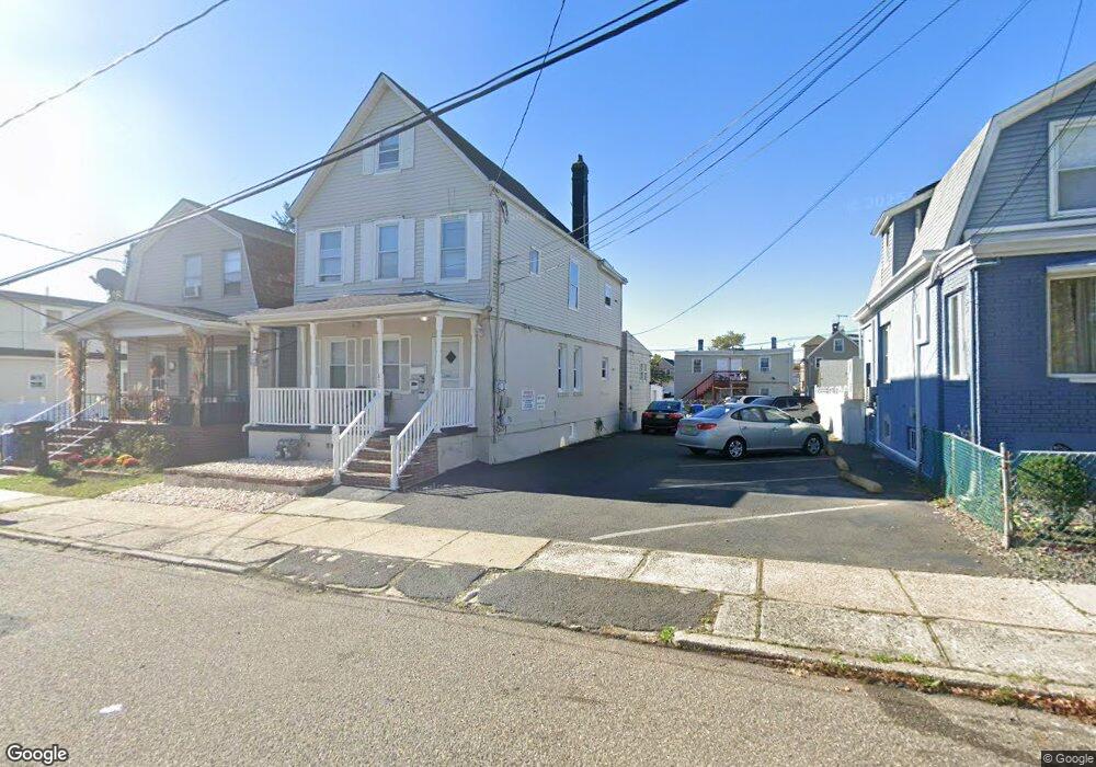
437 Baker Place Perth Amboy, NJ 08861
Amboy Avenue NeighborhoodEstimated Value: $496,000 - $644,000
--
Bed
--
Bath
2,048
Sq Ft
$265/Sq Ft
Est. Value
About This Home
This home is located at 437 Baker Place, Perth Amboy, NJ 08861 and is currently estimated at $542,455, approximately $264 per square foot. 437 Baker Place is a home located in Middlesex County with nearby schools including Perth Amboy High School, Middlesex County STEM Charter School, and Academy for Urban Leadership Charter School.
Ownership History
Date
Name
Owned For
Owner Type
Purchase Details
Closed on
Jun 25, 2014
Sold by
Deleon Manuel and Tapia Antonio
Bought by
Deleon Manuel
Current Estimated Value
Home Financials for this Owner
Home Financials are based on the most recent Mortgage that was taken out on this home.
Original Mortgage
$200,447
Outstanding Balance
$152,751
Interest Rate
4.25%
Mortgage Type
FHA
Estimated Equity
$389,704
Purchase Details
Closed on
Apr 5, 2013
Sold by
Slamowitz Bernard and Slamowitz Myrna
Bought by
Deleon Manuel and Tapia Antonio
Home Financials for this Owner
Home Financials are based on the most recent Mortgage that was taken out on this home.
Original Mortgage
$201,286
Interest Rate
3.57%
Mortgage Type
FHA
Create a Home Valuation Report for This Property
The Home Valuation Report is an in-depth analysis detailing your home's value as well as a comparison with similar homes in the area
Home Values in the Area
Average Home Value in this Area
Purchase History
| Date | Buyer | Sale Price | Title Company |
|---|---|---|---|
| Deleon Manuel | -- | Olde School Title Svcs Llc | |
| Deleon Manuel | $205,000 | River Edge Title Agency Llcs |
Source: Public Records
Mortgage History
| Date | Status | Borrower | Loan Amount |
|---|---|---|---|
| Open | Deleon Manuel | $200,447 | |
| Closed | Deleon Manuel | $201,286 |
Source: Public Records
Tax History Compared to Growth
Tax History
| Year | Tax Paid | Tax Assessment Tax Assessment Total Assessment is a certain percentage of the fair market value that is determined by local assessors to be the total taxable value of land and additions on the property. | Land | Improvement |
|---|---|---|---|---|
| 2025 | $8,457 | $280,300 | $113,000 | $167,300 |
| 2024 | $8,440 | $280,300 | $113,000 | $167,300 |
| 2023 | $8,440 | $280,300 | $113,000 | $167,300 |
| 2022 | $8,339 | $280,300 | $113,000 | $167,300 |
| 2021 | $8,350 | $280,300 | $113,000 | $167,300 |
| 2020 | $8,347 | $280,300 | $113,000 | $167,300 |
| 2019 | $8,378 | $280,300 | $113,000 | $167,300 |
| 2018 | $8,305 | $280,300 | $113,000 | $167,300 |
| 2017 | $8,288 | $280,300 | $113,000 | $167,300 |
| 2016 | $8,073 | $280,300 | $113,000 | $167,300 |
| 2015 | $8,129 | $280,300 | $113,000 | $167,300 |
| 2014 | $8,179 | $280,300 | $113,000 | $167,300 |
Source: Public Records
Map
Nearby Homes
- 448 Baker Place
- 552 Compton Ave
- 461 Lawrie St
- 599 Pacific Ave
- 438 Lawrie St
- 35 Dayna Ct
- 473 Hall Ave
- 569 Cornell St
- 490 Mckeon St
- 404 Washington St
- 397 Washington St
- 399 Compton Ave
- 649 Cornell St
- 376 Barclay St
- 732 Vincent Place
- 689 Mary St
- 389 Jeffries St
- 371 Mcguire Place
- 359 Neville St
- 693 Hanson Ave
- 441 Baker Place
- 435 Baker Place
- 431 Baker Place
- 445 Baker Place
- 444 Convery Blvd
- 446 Convery Blvd
- 448 Convery Blvd
- 429 Baker Place
- 442 Convery Blvd
- 442 Baker Place
- 450 Convery Blvd
- 444 Baker Place
- 444 Baker Place Unit 1
- 444 Baker Place Unit 1st
- 444 Baker Place Unit 2
- 444 Baker Place Unit 2nd
- 438 Baker Place
- 556 Sayre Ave
- 440 Baker Place
- 452 Convery Blvd