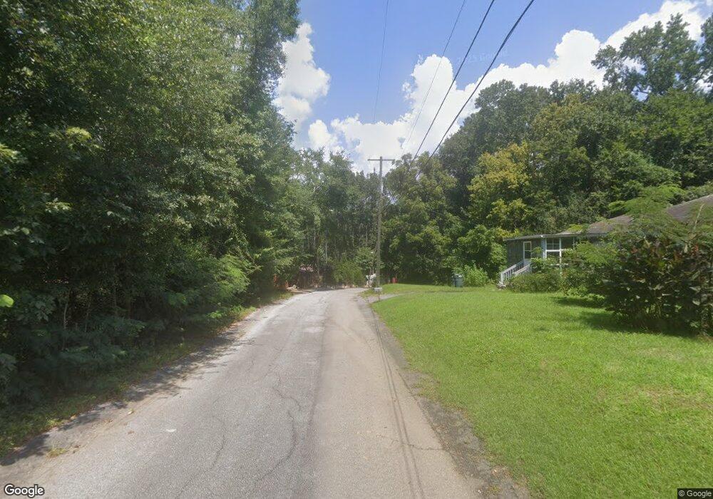
437 Dent Dr Lexington, SC 29072
Estimated Value: $772,000 - $1,329,600
3
Beds
3
Baths
2,240
Sq Ft
$449/Sq Ft
Est. Value
About This Home
This home is located at 437 Dent Dr, Lexington, SC 29072 and is currently estimated at $1,005,867, approximately $449 per square foot. 437 Dent Dr is a home with nearby schools including Rocky Creek Elementary School, Beechwood Middle School, and Lexington High School.
Ownership History
Date
Name
Owned For
Owner Type
Purchase Details
Closed on
Oct 3, 2024
Sold by
Rst Family Holdings Llc
Bought by
Reichenbach Isaiah Michael
Current Estimated Value
Purchase Details
Closed on
Sep 5, 2024
Sold by
Hutchins Lake Properties Llc
Bought by
Rst Family Holdings Llc
Purchase Details
Closed on
Jul 16, 2024
Sold by
Arrowsmith Richard and Hdl Liquidating Trust
Bought by
Hutchins Lake Properties Llc
Purchase Details
Closed on
Dec 17, 2014
Sold by
Lakelin Pines Llc
Bought by
Lakelin Pines Llc and Bradley Joseph Ray
Create a Home Valuation Report for This Property
The Home Valuation Report is an in-depth analysis detailing your home's value as well as a comparison with similar homes in the area
Home Values in the Area
Average Home Value in this Area
Purchase History
| Date | Buyer | Sale Price | Title Company |
|---|---|---|---|
| Reichenbach Isaiah Michael | -- | None Listed On Document | |
| Rst Family Holdings Llc | $2,375,000 | None Listed On Document | |
| Hutchins Lake Properties Llc | -- | None Listed On Document | |
| Hutchins Lake Properties Llc | -- | None Listed On Document | |
| Lakelin Pines Llc | -- | -- |
Source: Public Records
Tax History Compared to Growth
Tax History
| Year | Tax Paid | Tax Assessment Tax Assessment Total Assessment is a certain percentage of the fair market value that is determined by local assessors to be the total taxable value of land and additions on the property. | Land | Improvement |
|---|---|---|---|---|
| 2024 | -- | $33,763 | $27,564 | $6,199 |
| 2023 | $0 | $33,763 | $27,564 | $6,199 |
| 2022 | $0 | $33,763 | $27,564 | $6,199 |
| 2020 | $0 | $33,763 | $27,564 | $6,199 |
| 2019 | $0 | $29,359 | $22,836 | $6,523 |
| 2018 | $0 | $29,359 | $22,836 | $6,523 |
| 2017 | $0 | $29,359 | $22,836 | $6,523 |
| 2016 | -- | $29,358 | $22,836 | $6,522 |
Source: Public Records
Map
Nearby Homes
- 0 Fox Haven Trail Unit 3 592597
- 131 W Circle Dr
- 125 Cherokee Shores Dr
- 100 Rocky Cove Rd
- 0 Counts Ferry Rd Unit 583138
- 2250 Beechcreek Rd
- 109 Cherokee Isle Ct
- 2215 Old Cherokee Rd
- 152 Porth Cir
- 213 Mariannas Ct
- 232 Cherokee Shores Dr
- 1107 Brady Porth Rd
- 1111 Brady Porth Rd
- 113 Edgewater Ln
- 1204 Brady Porth Rd
- 1149 Counts Ferry Rd
- 204 Shadow Ridge Ct
- 0 Counts Ferry Lot 4 Rd
- 232 Waters Edge Dr
- 0 Counts Ferry Lot 3 Rd
- 2 Panorama Dr
- 1 Panorama Dr
- 0 Fox Haven Trail Unit 2 592594
- 0 Fox Haven Trail Unit 1 592552
- 611 Panorama Point
- 6 Panorama Dr
- 602 Panorama Dr
- 320 Panorama Dr
- 610 Panorama Dr
- 606 Panorama Point
- 612 Panorama Point
- 316 Panorama Dr
- 618 Panorama Point
- 312 Panorama Dr
- 620 Panorama Point
- 308 Panorama Dr
- 147 W Circle Dr
- 631 Panorama Point
- 304 Panorama Dr
- 624 Panorama Point