437 Dry Creek Rd Cedartown, GA 30125
Estimated Value: $59,000 - $1,009,695
3
Beds
2
Baths
1,932
Sq Ft
$202/Sq Ft
Est. Value
About This Home
This home is located at 437 Dry Creek Rd, Cedartown, GA 30125 and is currently estimated at $390,898, approximately $202 per square foot. 437 Dry Creek Rd is a home located in Polk County with nearby schools including Cedar Christian School.
Ownership History
Date
Name
Owned For
Owner Type
Purchase Details
Closed on
Oct 13, 2023
Sold by
Sanders Cemetery Fund
Bought by
Sanders Cemetery Fund
Current Estimated Value
Purchase Details
Closed on
Jan 12, 2018
Sold by
Wt Acres Llc
Bought by
Kisers Farms Lp
Purchase Details
Closed on
Aug 27, 2017
Sold by
Eddie E
Bought by
Wt Acres Llc
Purchase Details
Closed on
Nov 20, 2014
Sold by
Dry Creek Farms Llc
Bought by
Wt Acres Llc
Purchase Details
Closed on
Nov 19, 2014
Sold by
Kitchens Eddie E
Bought by
Stephens Stanley
Create a Home Valuation Report for This Property
The Home Valuation Report is an in-depth analysis detailing your home's value as well as a comparison with similar homes in the area
Home Values in the Area
Average Home Value in this Area
Purchase History
| Date | Buyer | Sale Price | Title Company |
|---|---|---|---|
| Sanders Cemetery Fund | -- | -- | |
| Sanders Cemetery Fund | $11,250 | -- | |
| Sanders Cemetery Fund | -- | -- | |
| Kisers Farms Lp | $550,000 | -- | |
| Wt Acres Llc | -- | -- | |
| Wt Acres Llc | $585,000 | -- | |
| Stephens Stanley | $585,147 | -- |
Source: Public Records
Tax History Compared to Growth
Tax History
| Year | Tax Paid | Tax Assessment Tax Assessment Total Assessment is a certain percentage of the fair market value that is determined by local assessors to be the total taxable value of land and additions on the property. | Land | Improvement |
|---|---|---|---|---|
| 2024 | $7,571 | $362,205 | $222,365 | $139,840 |
| 2023 | $6,979 | $2,973 | $0 | $2,973 |
| 2022 | $6,969 | $293,659 | $195,436 | $98,223 |
| 2021 | $7,060 | $293,659 | $195,436 | $98,223 |
| 2020 | $7,051 | $292,711 | $195,436 | $97,275 |
| 2019 | $5,908 | $343,848 | $195,436 | $148,412 |
Source: Public Records
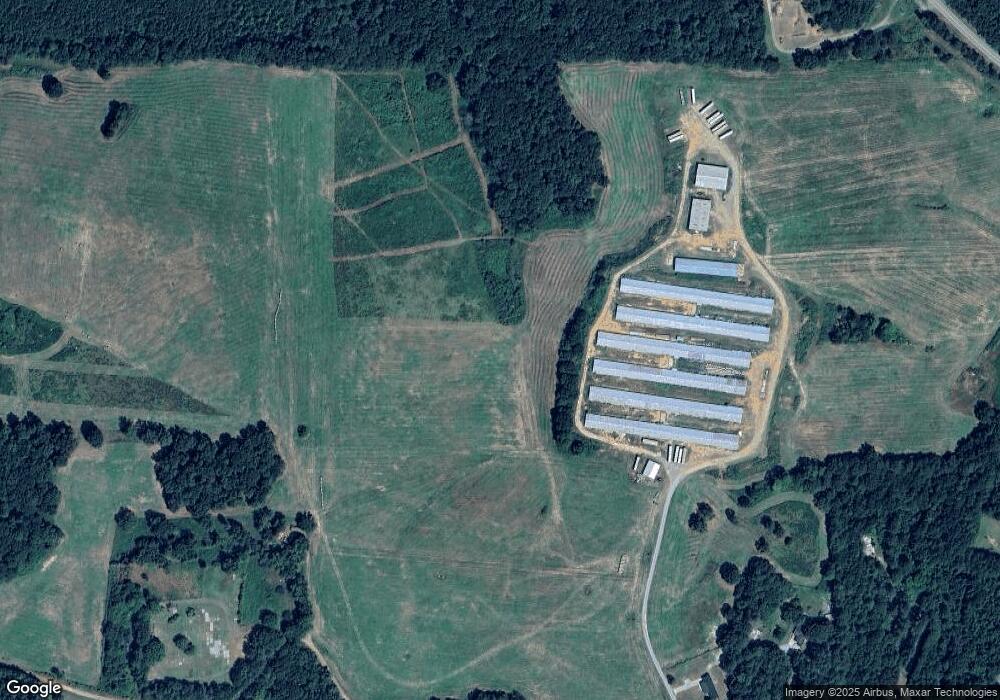
Map
Nearby Homes
- 1849 Prior Station Rd Unit 76 ACRES
- 1849 Prior Station Rd
- 151 Friendship Rd
- 0 Mountain Home Rd Unit 1020-C 10351948
- 0 Mountain Home Rd Unit 1020-B 10351940
- 0 Mountain Home Rd Unit 1020-A 10351930
- 119 New Harmony Rd
- 123 Santa Claus Rd
- 255 Reynolds Rd
- 35 Harris Loop
- 28 Summerwind Dr
- 244 Valley Grove Rd
- 1200 N Cave Spring St
- 251 Valley Grove Rd
- 382 5th St
- 39 Summerwind Dr
- 516 Branch St
- 512 Branch St
- 508 Branch St
- 501 Dry Creek Rd
- 477 Dry Creek Rd
- 449 Dry Creek Rd
- 0 Sanders Cemetery Rd
- 0 Sanders Cemetery Rd Unit 8178630
- 0 Sanders Cemetery Rd Unit 7532714
- 0 Sanders Cemetery Rd Unit 7388794
- 0 Sanders Cemetery Rd Unit 7041106
- 0 Sanders Cemetery Rd Unit 3203051
- 0 Sanders Cemetery Rd Unit 8365348
- 499 Dry Creek Rd
- 456 Dry Creek Rd
- 430 Dry Creek Rd
- 1005 Mountain Home Rd
- 1025 Mountain Home Rd
- 596 Dry Creek Rd
- 105 Sanders Cemetery Rd
- 105 Sanders Cemetery Rd Unit 7 A B
- 105 Sanders Cemetery Rd Unit A
- 105 Sanders Cemetery Rd