437 E Vilas Rd Central Point, OR 97502
Estimated Value: $1,319,610
Studio
--
Bath
15,140
Sq Ft
$87/Sq Ft
Est. Value
About This Home
This home is located at 437 E Vilas Rd, Central Point, OR 97502 and is currently estimated at $1,319,610, approximately $87 per square foot. 437 E Vilas Rd is a home located in Jackson County with nearby schools including Sams Valley Elementary School, Scenic Middle School, and Crater High School.
Ownership History
Date
Name
Owned For
Owner Type
Purchase Details
Closed on
May 12, 2016
Sold by
Eads Investments Llc
Bought by
Kirtland Rock Llc
Current Estimated Value
Purchase Details
Closed on
Mar 25, 2016
Sold by
Helfrich G Christine
Bought by
Eads Investments Llc
Create a Home Valuation Report for This Property
The Home Valuation Report is an in-depth analysis detailing your home's value as well as a comparison with similar homes in the area
Purchase History
We collect this data history from publicly available records. To have your information removed, we recommend requesting removal directly through your county’s website.
| Date | Buyer | Sale Price | Title Company |
|---|---|---|---|
| Kirtland Rock Llc | $425,000 | Amerititle | |
| Eads Investments Llc | -- | None Available |
Source: Public Records
Tax History
| Year | Tax Paid | Tax Assessment Tax Assessment Total Assessment is a certain percentage of the fair market value that is determined by local assessors to be the total taxable value of land and additions on the property. | Land | Improvement |
|---|---|---|---|---|
| 2026 | $8,557 | $597,550 | -- | -- |
| 2025 | $8,353 | $580,150 | $253,160 | $326,990 |
| 2024 | $8,353 | $563,255 | $245,783 | $317,472 |
| 2023 | $10,342 | $672,860 | $297,520 | $375,340 |
| 2022 | $9,719 | $672,860 | $297,520 | $375,340 |
| 2021 | $9,442 | $653,270 | $288,850 | $364,420 |
| 2020 | $9,268 | $632,130 | $272,270 | $359,860 |
| 2019 | $9,172 | $615,100 | $264,940 | $350,160 |
| 2018 | $8,957 | $585,320 | $252,110 | $333,210 |
| 2017 | $8,610 | $585,320 | $252,110 | $333,210 |
| 2016 | $8,587 | $562,920 | $242,460 | $320,460 |
| 2015 | $8,407 | $566,260 | $481,640 | $84,620 |
| 2014 | $8,193 | $533,760 | $453,990 | $79,770 |
Source: Public Records
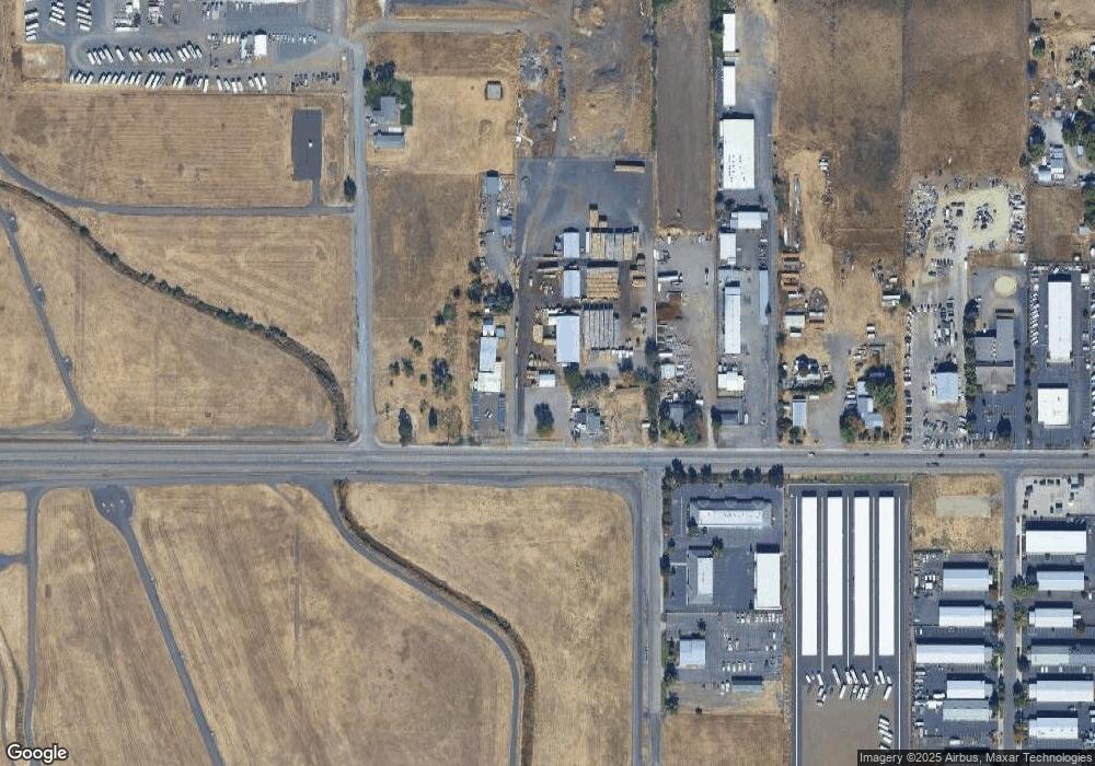
Map
Nearby Homes
- 4824 Airway Dr Unit 371W06BB410
- 5156 Peace Ln
- 4676 Industry Dr
- 4702 Industry Dr
- 1151 Helicopter Way
- 1141 Helicopter Way
- 4595 Table Rock Rd
- 997 N Mountain Ave
- 4399 Table Rock Rd
- 1250 Vilas Rd
- 225 Wilson Rd
- 875 N Mountain Ave
- 4762 Gebhard Rd
- 4404 Biddle Rd
- 2311 Lara Ln
- 303 Live Oak Loop
- 0 Evan Way
- 2307 Jeremy St
- 5011 Highway 62
- 4251 Table Rock Rd
- 471 E Vilas Rd
- 501 E Vilas Rd
- 427 E Vilas Rd
- 521 E Vilas Rd
- 431 E Vilas Rd
- 540 E Vilas Rd
- 387 E Vilas Rd
- 4898 N Runway Dr
- 0 Rainbow Tl2804 Dr Unit 102951953
- 0 Rainbow Tl2803 Tl2805 Dr Unit 102951954
- 605 E Vilas Rd
- 549 E Vilas Rd
- 4897 Airway Dr
- 4889 Airway Dr
- 5170 Rainbow Dr
- 4889 Airway Dr
- 576 E Vilas Rd
- 4881 Airway Dr
- 4873 Airway Dr
- 4865 Airway Dr
Your Personal Tour Guide
Ask me questions while you tour the home.