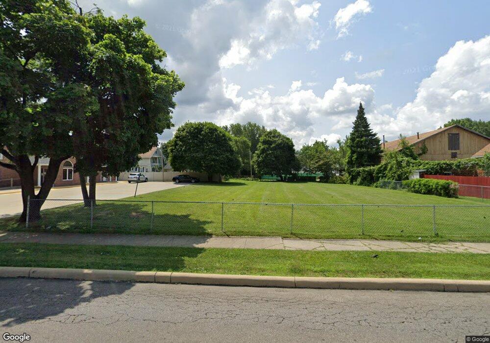
437 Glessner Ave Mansfield, OH 44903
Estimated Value: $101,000 - $143,000
Studio
--
Bath
--
Sq Ft
7,057
Sq Ft
About This Home
This home is located at 437 Glessner Ave, Mansfield, OH 44903 and is currently estimated at $121,000. 437 Glessner Ave is a home located in Richland County with nearby schools including St. Peter's Elementary/Montessori School, Discovery School, and St. Peter's Junior High / High School.
Ownership History
Date
Name
Owned For
Owner Type
Purchase Details
Closed on
Jan 13, 2003
Sold by
Carey Matthew J
Bought by
Pridot Inc
Current Estimated Value
Home Financials for this Owner
Home Financials are based on the most recent Mortgage that was taken out on this home.
Original Mortgage
$182,000
Interest Rate
6.23%
Mortgage Type
New Conventional
Purchase Details
Closed on
Aug 31, 1993
Sold by
Ireland Chester T
Bought by
Carey Matthew J
Create a Home Valuation Report for This Property
The Home Valuation Report is an in-depth analysis detailing your home's value as well as a comparison with similar homes in the area
Home Values in the Area
Average Home Value in this Area
Purchase History
| Date | Buyer | Sale Price | Title Company |
|---|---|---|---|
| Pridot Inc | $66,000 | -- | |
| Carey Matthew J | $49,000 | -- |
Source: Public Records
Mortgage History
| Date | Status | Borrower | Loan Amount |
|---|---|---|---|
| Closed | Pridot Inc | $182,000 |
Source: Public Records
Tax History
| Year | Tax Paid | Tax Assessment Tax Assessment Total Assessment is a certain percentage of the fair market value that is determined by local assessors to be the total taxable value of land and additions on the property. | Land | Improvement |
|---|---|---|---|---|
| 2024 | $148 | $3,100 | $3,100 | $0 |
| 2023 | $148 | $3,100 | $3,100 | $0 |
| 2022 | $144 | $2,520 | $2,520 | $0 |
| 2021 | $145 | $2,520 | $2,520 | $0 |
| 2020 | $148 | $2,520 | $2,520 | $0 |
| 2019 | $164 | $2,520 | $2,520 | $0 |
| 2018 | $162 | $2,520 | $2,520 | $0 |
| 2017 | $158 | $2,520 | $2,520 | $0 |
| 2016 | $216 | $3,350 | $3,350 | $0 |
| 2015 | $207 | $3,350 | $3,350 | $0 |
| 2014 | $204 | $3,350 | $3,350 | $0 |
| 2012 | $198 | $3,520 | $3,520 | $0 |
Source: Public Records
Map
Nearby Homes
- 487 Davey Ave
- 282 Vennum Ave
- 455 Marion Ave
- 158 Vennum Ave
- 189 Westwood Ave
- 133 Stewart Ave S
- 116 Stewart Ave S
- 119 Carpenter Rd
- 108 Stewart Ave S
- 31 Bartley Ave
- 135 Wood St
- 30 Douglas Ave
- 616 Cline Ave
- 24 Stewart Ave S
- 679 Coleman Rd
- 131 Sturges Ave
- 310 Townview Cir N
- 341 Townview Cir N
- 0 Cline Ave Hedeen Abbeyfeale Unit 9066362
- 151 Grover St
- 441 Glessner Ave
- 445 Glessner Ave
- 218 Poplar St
- 213 Bartley Ave
- 221 Bartley Ave
- 222 Poplar St
- 225 Bartley Ave
- 226 Poplar St
- 448 Glessner Ave
- 436 Glessner Ave
- 229 Bartley Ave
- 440 Glessner Ave
- 232 Poplar St
- 430 Glessner Ave
- 233 Bartley Ave
- 458 Davey Ave
- 234 Poplar St
- 189 Bartley Ave
- 188 Poplar St
- 235 Bartley Ave Unit 237
Your Personal Tour Guide
Ask me questions while you tour the home.