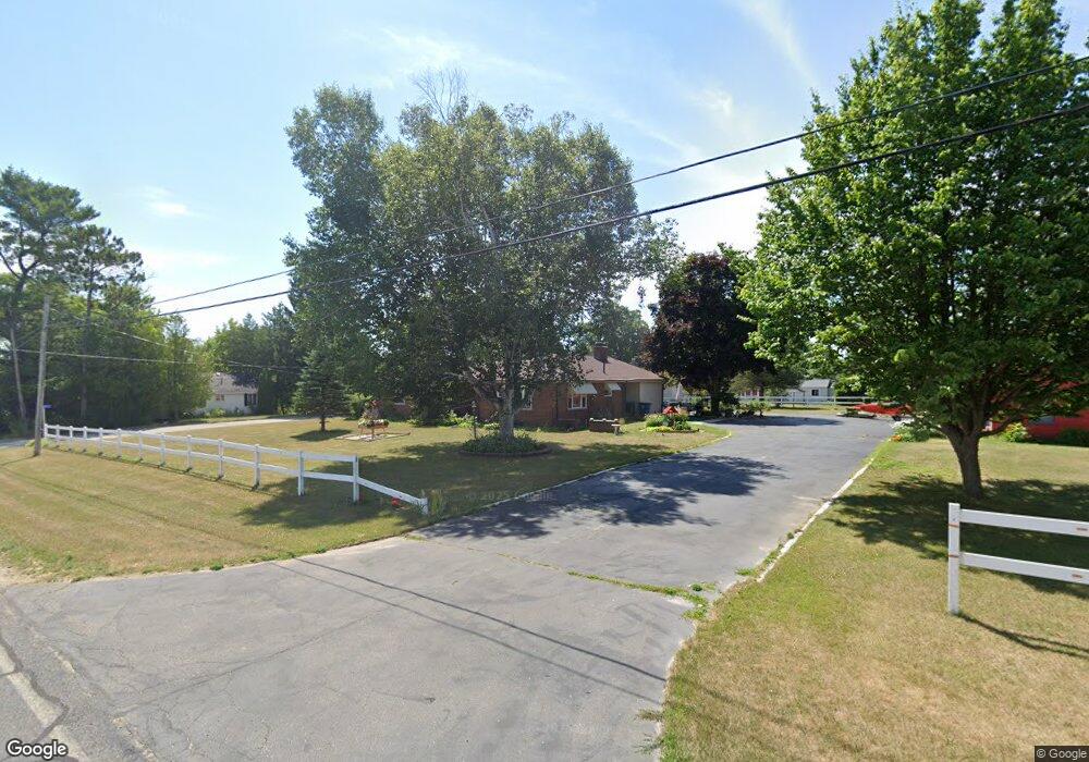
437 N Norman St Barryton, MI 49305
Estimated Value: $171,000 - $241,000
--
Bed
--
Bath
--
Sq Ft
0.97
Acres
About This Home
This home is located at 437 N Norman St, Barryton, MI 49305 and is currently estimated at $200,864. 437 N Norman St is a home located in Mecosta County with nearby schools including Chippewa Hills High School.
Ownership History
Date
Name
Owned For
Owner Type
Purchase Details
Closed on
Jul 20, 2016
Sold by
Doris M Ervin Revocable Trust
Bought by
Cross Daniel Leroy
Current Estimated Value
Home Financials for this Owner
Home Financials are based on the most recent Mortgage that was taken out on this home.
Original Mortgage
$75,591
Outstanding Balance
$60,305
Interest Rate
3.56%
Mortgage Type
VA
Estimated Equity
$140,559
Create a Home Valuation Report for This Property
The Home Valuation Report is an in-depth analysis detailing your home's value as well as a comparison with similar homes in the area
Home Values in the Area
Average Home Value in this Area
Purchase History
| Date | Buyer | Sale Price | Title Company |
|---|---|---|---|
| Cross Daniel Leroy | $74,000 | Lakeland Title Of Mecosta Co |
Source: Public Records
Mortgage History
| Date | Status | Borrower | Loan Amount |
|---|---|---|---|
| Open | Cross Daniel Leroy | $75,591 |
Source: Public Records
Tax History Compared to Growth
Tax History
| Year | Tax Paid | Tax Assessment Tax Assessment Total Assessment is a certain percentage of the fair market value that is determined by local assessors to be the total taxable value of land and additions on the property. | Land | Improvement |
|---|---|---|---|---|
| 2025 | $1,686 | $105,100 | $0 | $0 |
| 2024 | -- | $107,100 | $0 | $0 |
| 2023 | -- | $96,900 | $0 | $0 |
| 2022 | -- | $80,800 | $0 | $0 |
| 2021 | -- | $68,800 | $0 | $0 |
| 2020 | -- | -- | $0 | $0 |
| 2019 | -- | -- | $0 | $0 |
| 2018 | -- | -- | $0 | $0 |
| 2017 | -- | -- | $0 | $0 |
| 2016 | -- | -- | $0 | $0 |
| 2014 | -- | -- | $0 | $0 |
| 2013 | -- | -- | $0 | $0 |
Source: Public Records
Map
Nearby Homes
- 321 N Norman St
- 20213 30th Ave
- 121 Haddix Blvd
- 19150 35th Ave
- 3085 Oak Rd
- 175 S Hudnut St
- 145 S Hudnut St
- 18500 35th Ave
- 3250 17 Mile Rd
- 18593 30th Ave
- 16649 45th Ave
- 1862 19 Mile Rd
- 5720 18 Mile Rd
- 17931 30th Ave
- 4740 Hoover Rd
- 18678 10th Ave
- 19 Mile Rd
- 5155 18 Mile Rd
- 2665 22 Mile Rd
- 18862 Oxbow Dr
- 425 N Norman St
- 433 N Norman St
- 460 N Norman St
- 393 N Norman St
- 415 N Norman St
- 385 N Norman St
- 430 N Norman St
- 492 N Norman St
- 418 N Norman St
- 392 N Norman St
- 19980 30th Ave
- 19975 30th Ave
- 350 N Norman St
- 362 N Norman St
- 20009 30th Ave
- 435 N Perry St
- 459 N Perry St
- 0038 20 Mile Rd
- 20039 30th Ave
- 3171 20 Mile Rd