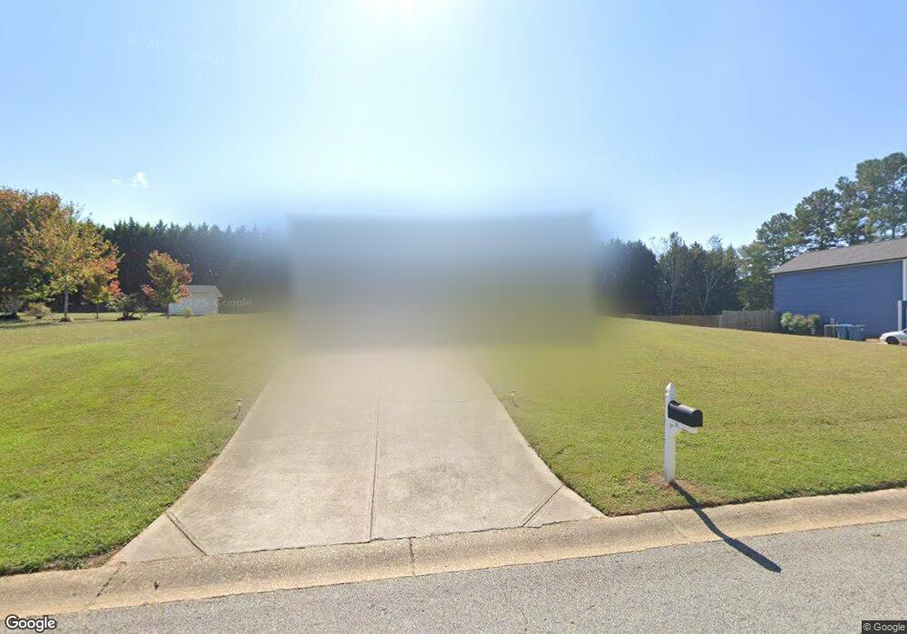
437 Robins Way Auburn, GA 30011
Estimated Value: $266,000 - $355,893
3
Beds
2
Baths
1,270
Sq Ft
$238/Sq Ft
Est. Value
About This Home
This home is located at 437 Robins Way, Auburn, GA 30011 and is currently estimated at $302,723, approximately $238 per square foot. 437 Robins Way is a home located in Barrow County with nearby schools including Auburn Elementary School, Westside Middle School, and Apalachee High School.
Ownership History
Date
Name
Owned For
Owner Type
Purchase Details
Closed on
Sep 25, 2020
Sold by
Lockridge Brandon L
Bought by
Hill Rosemary
Current Estimated Value
Home Financials for this Owner
Home Financials are based on the most recent Mortgage that was taken out on this home.
Original Mortgage
$136,350
Outstanding Balance
$121,276
Interest Rate
2.9%
Mortgage Type
New Conventional
Estimated Equity
$181,447
Purchase Details
Closed on
Aug 30, 2004
Sold by
Southfork Homes Inc
Bought by
Lockridge Brandon L
Home Financials for this Owner
Home Financials are based on the most recent Mortgage that was taken out on this home.
Original Mortgage
$93,520
Interest Rate
6.01%
Mortgage Type
Stand Alone Second
Purchase Details
Closed on
Mar 5, 2004
Sold by
Georgia Land & Erosion Llc
Bought by
Southfork Homes Inc
Purchase Details
Closed on
Jun 30, 2003
Bought by
Georgia Land & Erosion Llc
Create a Home Valuation Report for This Property
The Home Valuation Report is an in-depth analysis detailing your home's value as well as a comparison with similar homes in the area
Home Values in the Area
Average Home Value in this Area
Purchase History
| Date | Buyer | Sale Price | Title Company |
|---|---|---|---|
| Hill Rosemary | $151,500 | -- | |
| Lockridge Brandon L | $116,900 | -- | |
| Southfork Homes Inc | $35,500 | -- | |
| Georgia Land & Erosion Llc | -- | -- |
Source: Public Records
Mortgage History
| Date | Status | Borrower | Loan Amount |
|---|---|---|---|
| Open | Hill Rosemary | $136,350 | |
| Previous Owner | Lockridge Brandon L | $93,520 | |
| Previous Owner | Lockridge Brandon L | $23,380 |
Source: Public Records
Tax History Compared to Growth
Tax History
| Year | Tax Paid | Tax Assessment Tax Assessment Total Assessment is a certain percentage of the fair market value that is determined by local assessors to be the total taxable value of land and additions on the property. | Land | Improvement |
|---|---|---|---|---|
| 2024 | $678 | $68,888 | $11,600 | $57,288 |
| 2023 | $1,870 | $69,288 | $11,600 | $57,688 |
| 2022 | $1,923 | $61,929 | $11,600 | $50,329 |
| 2021 | $1,986 | $61,929 | $11,600 | $50,329 |
| 2020 | $1,922 | $61,929 | $11,600 | $50,329 |
| 2019 | $1,700 | $53,608 | $11,600 | $42,008 |
| 2018 | $1,525 | $48,615 | $11,600 | $37,015 |
| 2017 | $1,136 | $39,026 | $11,600 | $27,426 |
| 2016 | $1,163 | $38,028 | $11,600 | $26,428 |
| 2015 | $1,177 | $38,317 | $11,600 | $26,717 |
| 2014 | $1,044 | $33,866 | $6,860 | $27,006 |
| 2013 | -- | $32,542 | $6,860 | $25,682 |
Source: Public Records
Map
Nearby Homes
- 443 Robins Way
- 219 Heritage Way
- 44 County Line-Auburn Rd
- 325 Timberridge Ln
- 62 Cardinal Pond Ln Unit 5A
- 65 Cardinal Pond Ln
- 65 Cardinal Pond Ln Unit 9A
- 26 Bramblewood Dr
- 26 Bramblewood Dr Unit 37A
- 14 Bramblewood Dr
- 38 Cardinal Pond Ln Unit 3A
- 119 Wingate Rd
- 40 Cardinal Ridge Ct Unit 40A
- 38 Cardinal Pond Ln
- 40 Cardinal Ridge Ct
- 14 Bramblewood Dr Unit 38A
- 107 Wingate Dr
- 107 Wingate Dr Unit 21A
- 119 Wingate Dr Unit 22A
- 129 Wingate Dr Unit 23A
- 437 Robins Way Unit Lot 2
- 439 Robins Way
- 435 Robins Way
- 435 Robins Way Unit 1
- 440 Robins Way Unit B
- 441 Robins Way
- E Robins Way Unit 1
- 436 Robins Way
- 311 Oak Ridge
- 442 Robins Way
- 309 Oak Ridge Unit 4
- B Bill Robinson Rd
- 307 Oak Ridge Unit 4
- 445 Robins Way
- 444 Robins Way
- 313 Oak Ridge
- 305 Oak Ridge
- 305 Oak Ridge Unit 4
- 447 Robins Way
- 303 Oak Ridge
