437 SW Cedar St Pilot Rock, OR 97868
Estimated Value: $215,000 - $326,000
2
Beds
1
Bath
2,433
Sq Ft
$102/Sq Ft
Est. Value
About This Home
This home is located at 437 SW Cedar St, Pilot Rock, OR 97868 and is currently estimated at $249,013, approximately $102 per square foot. 437 SW Cedar St is a home located in Umatilla County with nearby schools including Pilot Rock Elementary School and Pilot Rock High School.
Ownership History
Date
Name
Owned For
Owner Type
Purchase Details
Closed on
Jul 23, 2013
Sold by
Carriger James W
Bought by
Schiller Rebecca L and Schiller Marilyn
Current Estimated Value
Purchase Details
Closed on
Mar 14, 2008
Sold by
Verstoppen Trampus D and Verstoppen Bridget L
Bought by
Carriger James W and Carriger Emily B
Home Financials for this Owner
Home Financials are based on the most recent Mortgage that was taken out on this home.
Original Mortgage
$98,000
Interest Rate
5.65%
Mortgage Type
VA
Create a Home Valuation Report for This Property
The Home Valuation Report is an in-depth analysis detailing your home's value as well as a comparison with similar homes in the area
Home Values in the Area
Average Home Value in this Area
Purchase History
| Date | Buyer | Sale Price | Title Company |
|---|---|---|---|
| Schiller Rebecca L | $114,000 | Pioneer Title Co | |
| Carriger James W | $98,000 | Amerititle |
Source: Public Records
Mortgage History
| Date | Status | Borrower | Loan Amount |
|---|---|---|---|
| Previous Owner | Carriger James W | $98,000 |
Source: Public Records
Tax History Compared to Growth
Tax History
| Year | Tax Paid | Tax Assessment Tax Assessment Total Assessment is a certain percentage of the fair market value that is determined by local assessors to be the total taxable value of land and additions on the property. | Land | Improvement |
|---|---|---|---|---|
| 2024 | $1,415 | $81,980 | $16,410 | $65,570 |
| 2023 | $1,386 | $79,600 | $15,930 | $63,670 |
| 2022 | $1,317 | $77,290 | $0 | $0 |
| 2021 | $1,321 | $75,040 | $15,010 | $60,030 |
| 2020 | $1,203 | $72,860 | $14,570 | $58,290 |
| 2018 | $1,135 | $68,680 | $28,400 | $40,280 |
| 2017 | $1,104 | $66,680 | $27,580 | $39,100 |
| 2016 | $1,075 | $64,740 | $26,780 | $37,960 |
| 2015 | $1,056 | $59,260 | $24,510 | $34,750 |
| 2014 | $1,022 | $59,260 | $24,510 | $34,750 |
Source: Public Records
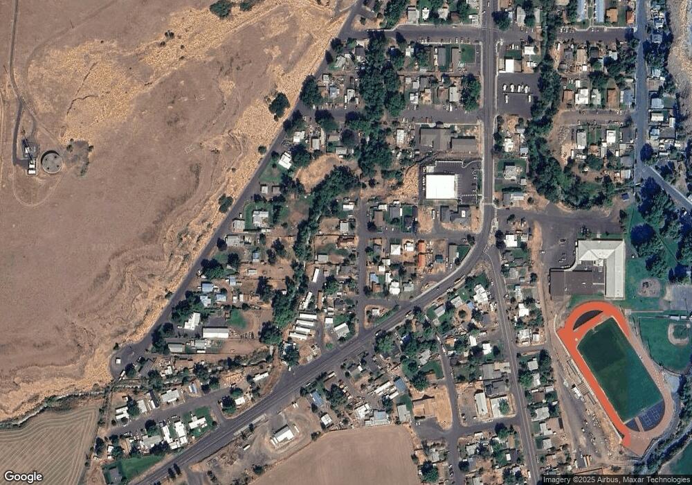
Map
Nearby Homes
- 261 SW 2nd St
- 520 NE 4th St
- 706 NE Gumwood St
- 44743 McKay Creek Rd
- 70349 Lakeside Rd
- 63615 E Birch Creek Ed
- 000 Motanic Rd
- 0000 County 1031 Rd
- 71539 SW Bridle Dr
- 72062 Westfield Blvd
- 904 SW 43rd St
- 4207 SW Sheridan Ave
- 0 Mckay Dr
- 1437 SW 40th St
- 1901 SW Runnion Ln
- 1437 SW 37th St Unit 43
- 1914 SW 2nd Dr
- 1328 SW 44th St
- 0 SW 2nd St Unit 263926795
- 0 SW Quinney Ln Unit 24414661
- 457 SW Cedar St
- 489 SW Cedar St
- 448 SW Cedar St
- 426 SW Cedar St
- 328 SW Cedar St
- 275 SW 5th St
- 519 SW Cedar St
- 280 SW 4th Place
- 458 SW Delwood St
- 273 SW 4th St
- 235 SW 5th St
- 253 SW 4th St
- 565 SW Birch Place
- 219 SW 5th St
- 396 SW 4th St
- 297 SW Cedar St
- 480 SW Delwood St
- 595 SW Birch Place
- 242 SW 4th St
- 589 SW Cedar St