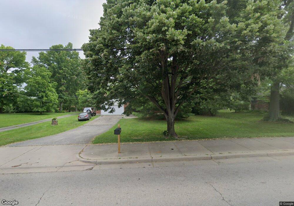
4370 Cornell Rd Blue Ash, OH 45241
Estimated Value: $237,000 - $419,000
3
Beds
2
Baths
1,260
Sq Ft
$264/Sq Ft
Est. Value
About This Home
This home is located at 4370 Cornell Rd, Blue Ash, OH 45241 and is currently estimated at $332,119, approximately $263 per square foot. 4370 Cornell Rd is a home located in Hamilton County with nearby schools including Edwin H Greene Intermediate Middle School, Sycamore Junior High School, and Sycamore High School.
Ownership History
Date
Name
Owned For
Owner Type
Purchase Details
Closed on
Mar 28, 2023
Sold by
Roth Richard A
Bought by
Done Stamp Llc
Current Estimated Value
Purchase Details
Closed on
Aug 29, 2002
Sold by
Burg Donald A
Bought by
Roth Ii Richard A
Home Financials for this Owner
Home Financials are based on the most recent Mortgage that was taken out on this home.
Original Mortgage
$104,000
Interest Rate
6.34%
Create a Home Valuation Report for This Property
The Home Valuation Report is an in-depth analysis detailing your home's value as well as a comparison with similar homes in the area
Home Values in the Area
Average Home Value in this Area
Purchase History
We collect this data history from publicly available records. To have your information removed, we recommend requesting removal directly through your county’s website.
| Date | Buyer | Sale Price | Title Company |
|---|---|---|---|
| Done Stamp Llc | $250 | None Listed On Document | |
| Done Stamp Llc | $250 | None Listed On Document | |
| Roth Ii Richard A | $130,000 | -- |
Source: Public Records
Mortgage History
We collect this data history from publicly available records. To have your information removed, we recommend requesting removal directly through your county’s website.
| Date | Status | Borrower | Loan Amount |
|---|---|---|---|
| Previous Owner | Roth Ii Richard A | $104,000 |
Source: Public Records
Tax History
| Year | Tax Paid | Tax Assessment Tax Assessment Total Assessment is a certain percentage of the fair market value that is determined by local assessors to be the total taxable value of land and additions on the property. | Land | Improvement |
|---|---|---|---|---|
| 2025 | $3,611 | $81,057 | $18,718 | $62,339 |
| 2024 | $3,613 | $81,057 | $18,718 | $62,339 |
| 2023 | $3,567 | $81,057 | $18,718 | $62,339 |
| 2022 | $2,986 | $56,536 | $14,973 | $41,563 |
| 2021 | $2,978 | $56,536 | $14,973 | $41,563 |
| 2020 | $2,934 | $56,536 | $14,973 | $41,563 |
| 2019 | $3,196 | $56,536 | $14,973 | $41,563 |
| 2018 | $3,061 | $56,536 | $14,973 | $41,563 |
| 2017 | $2,914 | $56,536 | $14,973 | $41,563 |
| 2016 | $2,974 | $55,178 | $17,297 | $37,881 |
| 2015 | $2,605 | $55,178 | $17,297 | $37,881 |
| 2014 | $2,609 | $55,178 | $17,297 | $37,881 |
| 2013 | $2,355 | $48,402 | $15,173 | $33,229 |
Source: Public Records
Map
Nearby Homes
- 11108 Huntwicke Place
- 11157 Jardin Place
- 4210 Allenhurst Close Ct
- 10994 Timberwood Ln
- 3977 Cornell Rd
- 10660 Bridlepath Ln
- 5310 E Kemper Rd
- 5003 Lord Alfred Ct
- 10915 Fernhill Dr
- 3524 Cornell Rd
- 4982 Bell Ave
- 10813 Thornview Dr
- 4290 Fox Hollow Dr
- 4254 Fox Hollow Dr
- 11122 Main St
- 12024 Copperfield Dr
- 10916 Reading Rd
- 5339 Hickory Trail Ln
- 10631 Cinderella Dr
- 10757 Fallsington Ct
- 4356 Cornell Rd
- 10238 Ryans Way
- 11193 Woodlands Way
- 10246 Ryans Way
- 11186 Huntwicke Place
- 10230 Ryans Way
- 4384 Cornell Rd
- 10254 Ryans Way
- 11192 Woodlands Way
- 11179 Huntwicke Place
- 11225 Foremark Dr
- 11187 Huntwicke Place
- 11170 Huntwicke Place
- 10222 Ryans Way
- 10262 Ryans Way
- 11184 Woodlands Way
- 11177 Woodlands Way
- 11239 Foremark Dr
- 4307 Cornell Rd
- 11206 Foremark Dr
Your Personal Tour Guide
Ask me questions while you tour the home.