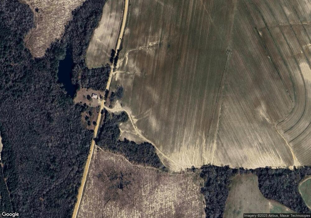
4370 Johnson Rd S Millen, GA 30442
Estimated Value: $205,000
3
Beds
1
Bath
1,440
Sq Ft
$142/Sq Ft
Est. Value
About This Home
This home is located at 4370 Johnson Rd S, Millen, GA 30442 and is currently estimated at $205,000, approximately $142 per square foot. 4370 Johnson Rd S is a home located in Jenkins County with nearby schools including Jenkins County Elementary School, Jenkins County Middle School, and Jenkins County High School.
Ownership History
Date
Name
Owned For
Owner Type
Purchase Details
Closed on
Apr 2, 2021
Sold by
Deas Harold Arthur
Bought by
Johnson Land And Farm Llc
Current Estimated Value
Purchase Details
Closed on
Oct 19, 2020
Sold by
Dixon Jack Lamar
Bought by
Deas Harold Arthur
Purchase Details
Closed on
Jun 21, 2019
Sold by
Moxley Isabelle Johnson
Bought by
Moxley Roy Leonard and Murray Isabel Lynn
Purchase Details
Closed on
Jan 9, 2019
Sold by
Deas Harold Arthur
Bought by
Deas Harold Arthur
Purchase Details
Closed on
Oct 22, 2013
Sold by
Deas Francis Marion Johnso
Bought by
Deas Harold A
Create a Home Valuation Report for This Property
The Home Valuation Report is an in-depth analysis detailing your home's value as well as a comparison with similar homes in the area
Home Values in the Area
Average Home Value in this Area
Purchase History
| Date | Buyer | Sale Price | Title Company |
|---|---|---|---|
| Johnson Land And Farm Llc | $200,000 | -- | |
| Deas Harold Arthur | $160,000 | -- | |
| Dixon Jack Lamar | -- | -- | |
| Dixon Jack Lamar | -- | -- | |
| Moxley Roy Leonard | -- | -- | |
| Deas Harold Arthur | -- | -- | |
| Deas Harold A | -- | -- |
Source: Public Records
Tax History Compared to Growth
Tax History
| Year | Tax Paid | Tax Assessment Tax Assessment Total Assessment is a certain percentage of the fair market value that is determined by local assessors to be the total taxable value of land and additions on the property. | Land | Improvement |
|---|---|---|---|---|
| 2024 | $2,148 | $237,080 | $218,480 | $18,600 |
| 2023 | $2,214 | $185,840 | $169,840 | $16,000 |
| 2022 | $2,016 | $179,560 | $169,840 | $9,720 |
| 2021 | $2,010 | $179,560 | $169,840 | $9,720 |
| 2020 | $1,969 | $173,400 | $163,680 | $9,720 |
| 2019 | $4,959 | $176,384 | $167,828 | $8,556 |
| 2018 | $4,612 | $176,384 | $167,828 | $8,556 |
| 2017 | $4,613 | $176,384 | $167,828 | $8,556 |
| 2016 | $4,596 | $176,384 | $167,828 | $8,556 |
| 2015 | -- | $176,384 | $167,828 | $8,556 |
| 2014 | -- | $176,384 | $167,828 | $8,556 |
Source: Public Records
Map
Nearby Homes
- 0 Thomas Rd Unit 163088
- 0 Thomas Rd
- 0 Thomas Rd Unit 537933
- 410 L B Hall Rd
- 0 Mount Zion Church Rd
- 3981 W Old Savannah Rd
- 3516 Bennetts Landing Rd
- 0 N Hwy 25 Hwy Unit 163094
- 3744 Us Highway 25 S
- 000 Scuffletown Rd
- 75 Scuffletown Rd
- 3032 Rogers Landing
- 3023 Finch Rd
- 1433 Georgia 17
- 1 Old Eighty Rd
- 3058 Old Eighty Rd
- 121 Terri Dr
- 5524 Hooker Branch Rd
- 0 Hereford Farm Rd
- 117 Gayle Dr
- 000 Johnson Rd
- 4462 Johnson Rd S
- 4664 Lewis Church Rd
- 0 Johnson Rd Unit 246176
- 0 Johnson Rd Unit 7172974
- 0 Johnson Rd Unit 309702
- 0 Johnson Rd Unit 371621
- 0 Johnson Rd Unit 9056320
- 0 Johnson Rd Unit 218207
- 0 Johnson Rd Unit 8717774
- 0 Johnson Rd Unit 7247526
- 0 Johnson Rd Unit 7502416
- 0 Johnson Rd Unit 8071792
- 4420 Lewis Church Rd
