Estimated Value: $941,943 - $1,106,000
3
Beds
2
Baths
3,724
Sq Ft
$273/Sq Ft
Est. Value
About This Home
This home is located at 43700 SE Tapp Rd, Sandy, OR 97055 and is currently estimated at $1,016,486, approximately $272 per square foot. 43700 SE Tapp Rd is a home located in Clackamas County with nearby schools including Firwood Elementary School, Cedar Ridge Middle School, and Sandy High School.
Ownership History
Date
Name
Owned For
Owner Type
Purchase Details
Closed on
Oct 17, 2018
Sold by
Meng Jerry M and Meng Sherrie G
Bought by
J & S Oregon Holdings Llc
Current Estimated Value
Purchase Details
Closed on
Jul 14, 2017
Sold by
Meng Jerry M and Meng Sherrie G
Bought by
The Jerry & Sherrie Meng Joint Revocable
Purchase Details
Closed on
Dec 31, 2007
Sold by
Meng Christopher J
Bought by
Meng Jerry M
Home Financials for this Owner
Home Financials are based on the most recent Mortgage that was taken out on this home.
Original Mortgage
$400,000
Interest Rate
6.15%
Mortgage Type
Purchase Money Mortgage
Purchase Details
Closed on
Mar 13, 2003
Sold by
Collison Gary and Collison Virginia
Bought by
Meng Christopher J
Purchase Details
Closed on
Sep 20, 1999
Sold by
Tures Marvin D and Tures Evelyn M
Bought by
Tures Donald Dewayne and Tures Roberta Jean
Home Financials for this Owner
Home Financials are based on the most recent Mortgage that was taken out on this home.
Original Mortgage
$91,000
Interest Rate
7.76%
Create a Home Valuation Report for This Property
The Home Valuation Report is an in-depth analysis detailing your home's value as well as a comparison with similar homes in the area
Home Values in the Area
Average Home Value in this Area
Purchase History
| Date | Buyer | Sale Price | Title Company |
|---|---|---|---|
| J & S Oregon Holdings Llc | -- | None Available | |
| The Jerry & Sherrie Meng Joint Revocable | -- | None Available | |
| Meng Jerry M | -- | None Available | |
| Meng Jerry M | $515,000 | Pacific Nw Title | |
| Meng Christopher J | $125,000 | Ticor Title Insurance Compan | |
| Tures Donald Dewayne | -- | Oregon Title Insurance Co |
Source: Public Records
Mortgage History
| Date | Status | Borrower | Loan Amount |
|---|---|---|---|
| Previous Owner | Meng Jerry M | $400,000 | |
| Previous Owner | Tures Donald Dewayne | $91,000 |
Source: Public Records
Tax History Compared to Growth
Tax History
| Year | Tax Paid | Tax Assessment Tax Assessment Total Assessment is a certain percentage of the fair market value that is determined by local assessors to be the total taxable value of land and additions on the property. | Land | Improvement |
|---|---|---|---|---|
| 2024 | $5,862 | $433,337 | -- | -- |
| 2023 | $5,862 | $420,718 | $0 | $0 |
| 2022 | $5,564 | $408,464 | $0 | $0 |
| 2021 | $5,367 | $396,562 | $0 | $0 |
| 2020 | $5,226 | $385,010 | $0 | $0 |
| 2019 | $5,203 | $373,798 | $0 | $0 |
| 2018 | $5,061 | $362,915 | $0 | $0 |
| 2017 | $4,947 | $352,339 | $0 | $0 |
| 2016 | $4,772 | $342,081 | $0 | $0 |
| 2015 | $4,639 | $332,113 | $0 | $0 |
| 2014 | $4,523 | $322,444 | $0 | $0 |
Source: Public Records
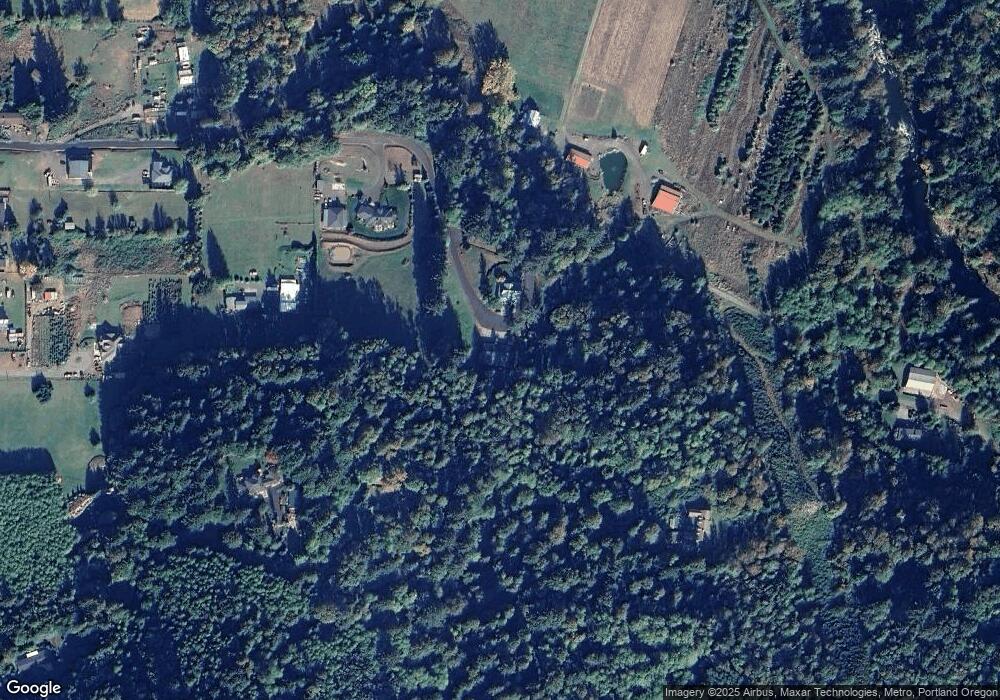
Map
Nearby Homes
- 19151 SE Veneer Ln
- 45495 SE Coalman Rd
- 41890 Deschutes Ave Unit 82A
- 41830 Deschutes Ave Unit 85A
- 41810 Deschutes Ave Unit 86B
- 42125 SE Luzon Ln
- 18865 Crooked River St Unit 42
- 18815 Crooked River St
- 41900 Deschutes Ave Unit 81A
- 41800 Deschutes Ave Unit 86A
- 19005 Ochoco Ct Unit 65
- 18905 Crooked River St Unit 46
- 19025 Ochoco Ct Unit 67
- 19100 Ochoco Ct Unit Lot 70
- 41820 Deschutes Ave Unit Lot 85B
- The Wildcat Plan at Hoodview Heights
- The Rock Creek Plan at Hoodview Heights
- The Hoodland Plan at Hoodview Heights
- The Cedar Creek Plan at Hoodview Heights
- The Brightwood Plan at Hoodview Heights
- 43658 SE Tapp Rd
- 0 SE Tapp Rd
- 43475 SE Tapp Rd
- 43434 SE Tapp Rd
- 43245 SE Coalman Rd
- 43221 SE Coalman Rd
- 43201 SE Coalman Rd
- 43201 SE Coalman Rd
- 43205 SE Coalman Rd
- 43363 SE Tapp Rd
- 44128 SE Tapp Rd
- 43346 SE Tapp Rd
- 44041 SE Coalman Rd
- 43242 SE Tapp Rd
- 43222 SE Tapp Rd
- 43331 SE Tapp Rd
- 43295 SE Coalman Rd
- 43210 SE Coalman Rd
- 43251 SE Tapp Rd
- 43535 SE Coalman Rd