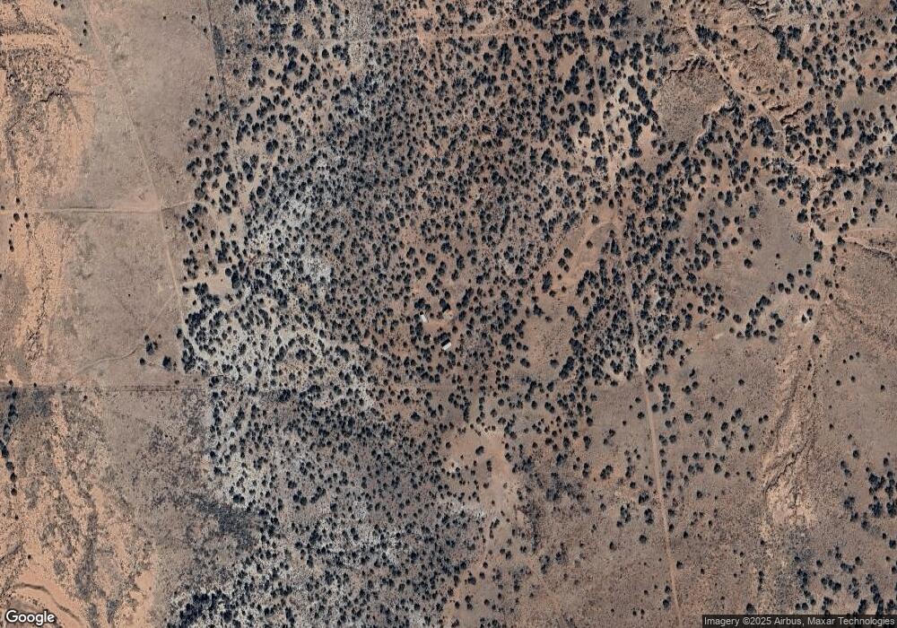
4373 Stirrup Snowflake, AZ 85937
Estimated Value: $184,000 - $317,297
3
Beds
1
Bath
1,100
Sq Ft
$233/Sq Ft
Est. Value
About This Home
This home is located at 4373 Stirrup, Snowflake, AZ 85937 and is currently estimated at $256,824, approximately $233 per square foot. 4373 Stirrup is a home located in Navajo County with nearby schools including Snowflake Intermediate School, Highland Primary School, and Snowflake Junior High School.
Ownership History
Date
Name
Owned For
Owner Type
Purchase Details
Closed on
Nov 11, 2025
Sold by
Richard and Richard Marla Holbrook
Bought by
Traeger Aj and Traeger Misty
Current Estimated Value
Home Financials for this Owner
Home Financials are based on the most recent Mortgage that was taken out on this home.
Original Mortgage
$301,000
Outstanding Balance
$300,711
Interest Rate
6.19%
Mortgage Type
VA
Estimated Equity
-$43,887
Purchase Details
Closed on
Jun 19, 2015
Sold by
Holbrook Richard and Holbrook Marla
Bought by
Holbrook Richard Hunter and Holbrook Marla Joleen
Purchase Details
Closed on
Jun 18, 2007
Sold by
The Danay M & Teresa M Clark Family Trus
Bought by
Holbrook Richard and Holbrook Maria
Purchase Details
Closed on
Dec 19, 2005
Sold by
Clark Teresa M
Bought by
The Danny M & Teresa M Clark Family Trus
Purchase Details
Closed on
Oct 20, 2005
Sold by
Tesson Diane Marie
Bought by
Clark Teresa M
Create a Home Valuation Report for This Property
The Home Valuation Report is an in-depth analysis detailing your home's value as well as a comparison with similar homes in the area
Purchase History
| Date | Buyer | Sale Price | Title Company |
|---|---|---|---|
| Traeger Aj | $301,000 | Lawyers Title | |
| Holbrook Richard Hunter | -- | None Available | |
| Holbrook Richard | $150,000 | First American Title | |
| The Danny M & Teresa M Clark Family Trus | -- | None Available | |
| Clark Teresa M | $60,000 | First American Title |
Source: Public Records
Mortgage History
| Date | Status | Borrower | Loan Amount |
|---|---|---|---|
| Open | Traeger Aj | $301,000 |
Source: Public Records
Tax History Compared to Growth
Tax History
| Year | Tax Paid | Tax Assessment Tax Assessment Total Assessment is a certain percentage of the fair market value that is determined by local assessors to be the total taxable value of land and additions on the property. | Land | Improvement |
|---|---|---|---|---|
| 2026 | $430 | -- | -- | -- |
| 2025 | $424 | $10,423 | $3,091 | $7,332 |
| 2024 | $438 | $9,468 | $2,908 | $6,560 |
| 2023 | $424 | $6,838 | $2,365 | $4,473 |
| 2022 | $438 | $0 | $0 | $0 |
| 2021 | $460 | $0 | $0 | $0 |
| 2020 | $470 | $0 | $0 | $0 |
| 2019 | $472 | $0 | $0 | $0 |
| 2018 | $462 | $0 | $0 | $0 |
| 2017 | $454 | $0 | $0 | $0 |
| 2016 | $600 | $0 | $0 | $0 |
| 2015 | $603 | $5,032 | $3,020 | $2,012 |
Source: Public Records
Map
Nearby Homes
- 000 Bunkhouse Rd
- 4508 Appaloosa Rd
- 4266 Bunkhouse Rd Unit 6
- 4158 Sorrel Rd
- 4189 Sorrel Rd
- 4130 Sorrel Rd
- 4056 Sorrel Rd
- 4114-4116 Colt Rd
- 4012 Colt Rd
- 4353 Colt Rd
- 4161 Colt Rd
- 4235 Clydesdale Rd
- 4253 Clydesdale Rd
- 8127 E Concho Hwy Unit 14
- 0 Stirrup Rd
- 4247 E Pinto Rd
- 4360 &4366 E Pinto Rd
- 4577 E Pinto Rd Unit 68
- 4053 E Pinto Rd Unit 4049 E Pinto Rd
- 4498 E Pinto Rd
- 9552 Mead Ln
- 9589 Morgan Ln
- 9595 Morgan Ln Unit 9589
- 9595 Morgan Ln
- 4423 Stirrup
- 4423 Stirrup
- 4436 Stirrup
- 4392 Garibaldi Rd
- 4451 Bunkhouse Rd
- 4451 Bunkhouse Rd Unit 13
- 4344 Bunkhouse Rd
- 4344 Bunkhouse Rd
- 9284 Alamo Ln
- 9793 Black Mesa Valley Rd
- 4415 S Sorrel Unit NE corner of Sorrel
- 4324 Black Mesa Valley Rd
- 4401 Bunkhouse Rd
- 4369 Sorrel Rd
- 4320 Bunkhouse Rd
- 4320 Bunkhouse Rd
