4375 Loop Rd NW Somerset, OH 43783
Estimated Value: $368,000 - $623,585
2
Beds
2
Baths
2,064
Sq Ft
$256/Sq Ft
Est. Value
About This Home
This home is located at 4375 Loop Rd NW, Somerset, OH 43783 and is currently estimated at $527,396, approximately $255 per square foot. 4375 Loop Rd NW is a home with nearby schools including Sheridan High School and Holy Trinity Elementary School.
Ownership History
Date
Name
Owned For
Owner Type
Purchase Details
Closed on
Apr 6, 2011
Sold by
Sims Juanita and Sims Robert
Bought by
Saffell Troy A and Saffell Jennifer C
Current Estimated Value
Home Financials for this Owner
Home Financials are based on the most recent Mortgage that was taken out on this home.
Original Mortgage
$168,000
Outstanding Balance
$9,107
Interest Rate
4.93%
Mortgage Type
New Conventional
Estimated Equity
$518,289
Create a Home Valuation Report for This Property
The Home Valuation Report is an in-depth analysis detailing your home's value as well as a comparison with similar homes in the area
Home Values in the Area
Average Home Value in this Area
Purchase History
| Date | Buyer | Sale Price | Title Company |
|---|---|---|---|
| Saffell Troy A | $210,000 | None Available |
Source: Public Records
Mortgage History
| Date | Status | Borrower | Loan Amount |
|---|---|---|---|
| Open | Saffell Troy A | $168,000 |
Source: Public Records
Tax History Compared to Growth
Tax History
| Year | Tax Paid | Tax Assessment Tax Assessment Total Assessment is a certain percentage of the fair market value that is determined by local assessors to be the total taxable value of land and additions on the property. | Land | Improvement |
|---|---|---|---|---|
| 2024 | $5,816 | $151,490 | $15,470 | $136,020 |
| 2023 | $5,816 | $151,490 | $15,470 | $136,020 |
| 2022 | $5,988 | $122,800 | $10,450 | $112,350 |
| 2021 | $5,421 | $122,800 | $10,450 | $112,350 |
| 2020 | $5,418 | $122,800 | $10,450 | $112,350 |
| 2019 | $4,754 | $107,500 | $9,500 | $98,000 |
| 2018 | $4,835 | $107,500 | $9,500 | $98,000 |
| 2017 | $4,266 | $107,500 | $9,500 | $98,000 |
| 2016 | $3,923 | $96,930 | $14,370 | $82,560 |
| 2015 | $3,918 | $96,930 | $14,370 | $82,560 |
| 2014 | $3,769 | $96,930 | $14,370 | $82,560 |
| 2013 | $3,824 | $96,930 | $14,370 | $82,560 |
| 2012 | -- | $96,930 | $14,370 | $82,560 |
Source: Public Records
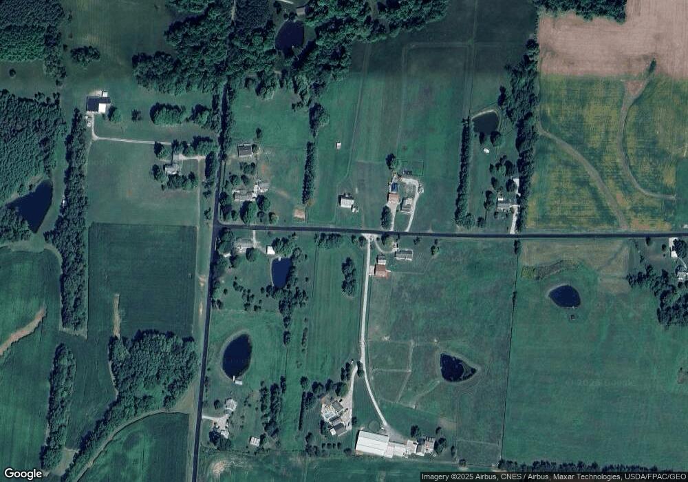
Map
Nearby Homes
- 4486 Cooperriders Rd NW
- 403 N Columbus St
- 8151 Township Road 68 NW
- 6662 Township Road 98
- 5475 Rush Creek Rd NW
- 212 N Market St
- 101 Shady Ln
- 10591 Zion Rd NW
- 300 E Main St
- 105 S Columbus St
- 9521 Township Road 37
- 0 Sheridan Dr Rd NW
- 3783 U S 22
- 2128 County Road 51
- VL Township Road 64
- 10705 Township Road 92
- 7575 Township Road 58 NE
- 108 N Main St
- 9621 State Route 13
- 11284 State Route 668 N
- 9724 Black Horse Rd NW
- 4375 N Co Rd 31
- 4295 Loop Rd NW
- 4279 Loop Rd NW
- 4425 Loop Rd NW
- 4284 Loop Rd NW
- 4208 Loop Rd NW
- 4420 Loop Rd NW
- 9530 Black Horse Rd NW
- 4055 Loop Rd NW
- 9470 Black Horse Rd NW
- 9252 County Road 27
- 0 Black Horse Rd
- 9258 Black Horse Rd NW
- 9265 Black Horse Rd NW
- 9254 Black Horse Rd NW
- 10325 Black Horse Rd NW
- 9260 Black Horse Rd NW
- 9252 Black Horse Rd NW
- 9235 Black Horse Rd NW