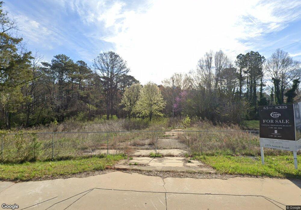
4379 Austell Rd Austell, GA 30106
Estimated Value: $1,085,015
3
Beds
2
Baths
1,296
Sq Ft
$837/Sq Ft
Est. Value
About This Home
This home is located at 4379 Austell Rd, Austell, GA 30106 and is currently estimated at $1,085,015, approximately $837 per square foot. 4379 Austell Rd is a home located in Cobb County with nearby schools including Sanders Elementary School, Garrett Middle School, and South Cobb High School.
Ownership History
Date
Name
Owned For
Owner Type
Purchase Details
Closed on
Jan 1, 2021
Sold by
Austell Cosmetic Dentistry P C
Bought by
Mack Iv Llc
Current Estimated Value
Purchase Details
Closed on
Jul 1, 2005
Sold by
Bennett Connie L
Bought by
Austell Cosmetic Denistry Pc
Home Financials for this Owner
Home Financials are based on the most recent Mortgage that was taken out on this home.
Original Mortgage
$378,750
Interest Rate
6.28%
Mortgage Type
New Conventional
Create a Home Valuation Report for This Property
The Home Valuation Report is an in-depth analysis detailing your home's value as well as a comparison with similar homes in the area
Home Values in the Area
Average Home Value in this Area
Purchase History
| Date | Buyer | Sale Price | Title Company |
|---|---|---|---|
| Mack Iv Llc | -- | None Available | |
| Austell Cosmetic Denistry Pc | $505,000 | -- |
Source: Public Records
Mortgage History
| Date | Status | Borrower | Loan Amount |
|---|---|---|---|
| Previous Owner | Austell Cosmetic Denistry Pc | $378,750 |
Source: Public Records
Tax History
| Year | Tax Paid | Tax Assessment Tax Assessment Total Assessment is a certain percentage of the fair market value that is determined by local assessors to be the total taxable value of land and additions on the property. | Land | Improvement |
|---|---|---|---|---|
| 2025 | $7,834 | $260,000 | $260,000 | -- |
| 2024 | $7,839 | $260,000 | $260,000 | -- |
| 2023 | $7,839 | $260,000 | $260,000 | $0 |
Source: Public Records
Map
Nearby Homes
- 1808 Elmwood Dr
- 4349 Kousa Rd Unit 4
- 4390 Chelou Dr
- 1951 Bay Beauty Ln Unit 10
- 2034 Drennon Ave
- 2013 Chesley Dr
- 2081 Lenoa Ln
- 2083 Lenoa Ln
- 2085 Lenoa Ln
- 4814 Clove Dr SW
- 4420 Pink Rose Ct
- 1558 Silver Ridge Dr SW
- 1558 Silver Ridge Dr
- 1741 Seayes Rd
- 4688 Bennett St
- 2110 Plum Ln
- 1590 Debbie Dr SW
- 1513 Glenn Place SW Unit 4
- 4319 Tradition Terrace
- 4630 Hemlock Dr
- 4371 Austell Rd
- 4389 Austell Rd
- 4389 Austell Rd Unit 19100600030
- 1846 Elmwood Dr
- 4399 Austell Rd
- 1834 Elmwood Dr
- 1901 Orange Grove Place Unit 44
- 1822 Elmwood Dr
- 1897 Orange Grove Place
- 4415 Austell Rd
- 1893 Orange Grove Place Unit 42
- 1889 Orange Grove Place Unit 41
- 1889 Orange Grove Place
- 1885 Orange Grove Place Unit 40
- 1885 Orange Grove Place
- 1847 Elmwood Dr
- 1877 Orange Grove Place Unit 39
- 4390 Austell Rd
- 4427 Austell Rd
- 1835 Elmwood Dr
Your Personal Tour Guide
Ask me questions while you tour the home.