Estimated Value: $496,000 - $575,000
4
Beds
2
Baths
2,256
Sq Ft
$242/Sq Ft
Est. Value
About This Home
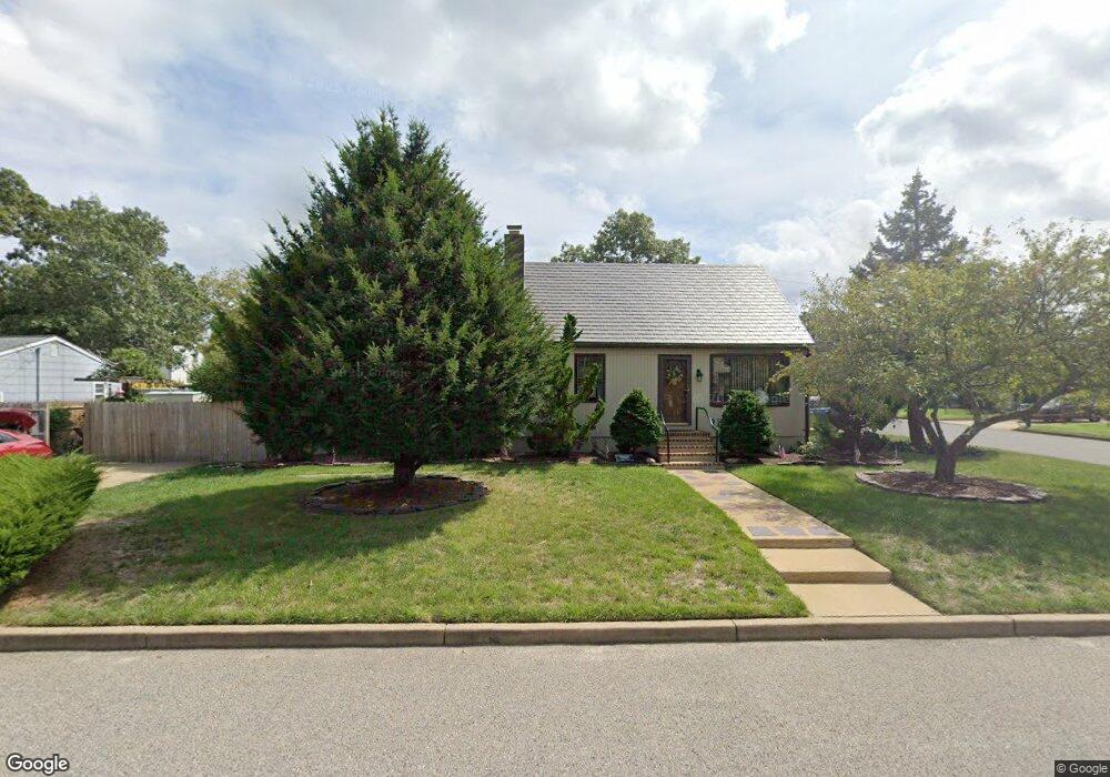
This home is located at 438 19th Ave, Brick, NJ 08724 and is currently estimated at $545,193, approximately $241 per square foot. 438 19th Ave is a home located in Ocean County with nearby schools including Veterans Memorial Elementary School, Veterans Memorial Middle School, and Brick Township Memorial High School.
Ownership History
Date
Name
Owned For
Owner Type
Purchase Details
Closed on
Jun 14, 2017
Sold by
Sistad William Arden and Sistad Michele
Bought by
Sistad William Arden
Current Estimated Value
Purchase Details
Closed on
Oct 28, 2010
Sold by
Mcallister Wendi Sue
Bought by
Sistad William Arden and Sistad Michelle
Home Financials for this Owner
Home Financials are based on the most recent Mortgage that was taken out on this home.
Original Mortgage
$150,000
Outstanding Balance
$99,672
Interest Rate
4.41%
Mortgage Type
New Conventional
Estimated Equity
$445,521
Purchase Details
Closed on
Jan 22, 1999
Sold by
Mccormick Helen
Bought by
Stevens Ronald L
Home Financials for this Owner
Home Financials are based on the most recent Mortgage that was taken out on this home.
Original Mortgage
$114,000
Interest Rate
6.67%
Mortgage Type
Stand Alone First
Create a Home Valuation Report for This Property
The Home Valuation Report is an in-depth analysis detailing your home's value as well as a comparison with similar homes in the area
Home Values in the Area
Average Home Value in this Area
Purchase History
| Date | Buyer | Sale Price | Title Company |
|---|---|---|---|
| Sistad William Arden | -- | -- | |
| Sistad William Arden | $255,000 | Multiple | |
| Stevens Ronald L | $120,000 | Lawyers Title Insurance Corp |
Source: Public Records
Mortgage History
| Date | Status | Borrower | Loan Amount |
|---|---|---|---|
| Open | Sistad William Arden | $150,000 | |
| Previous Owner | Stevens Ronald L | $114,000 |
Source: Public Records
Tax History
| Year | Tax Paid | Tax Assessment Tax Assessment Total Assessment is a certain percentage of the fair market value that is determined by local assessors to be the total taxable value of land and additions on the property. | Land | Improvement |
|---|---|---|---|---|
| 2025 | $7,170 | $274,700 | $142,500 | $132,200 |
| 2024 | $6,804 | $274,700 | $142,500 | $132,200 |
Source: Public Records
Map
Nearby Homes
- 432 18th Ave
- 441 17th Ave
- 339 Prospect Dr
- 506 Azalea Dr
- 823 Maple Ave
- 531 Azalea Dr
- 869 Koches Ave Unit 18
- 295 Madison Ct
- 393 N Lake Dr
- 21 Chatham Ct
- 124 Roosevelt Dr
- 516 Driscol Dr
- 22 Cedar Village Blvd
- 15 Brandywine Ct
- 726 Maple Ave
- 106 Coolidge Dr
- 1 Drury Ct
- 18 Northrup Dr Unit 201
- 505 5th Ave
- 178 Calvin Ct
Your Personal Tour Guide
Ask me questions while you tour the home.