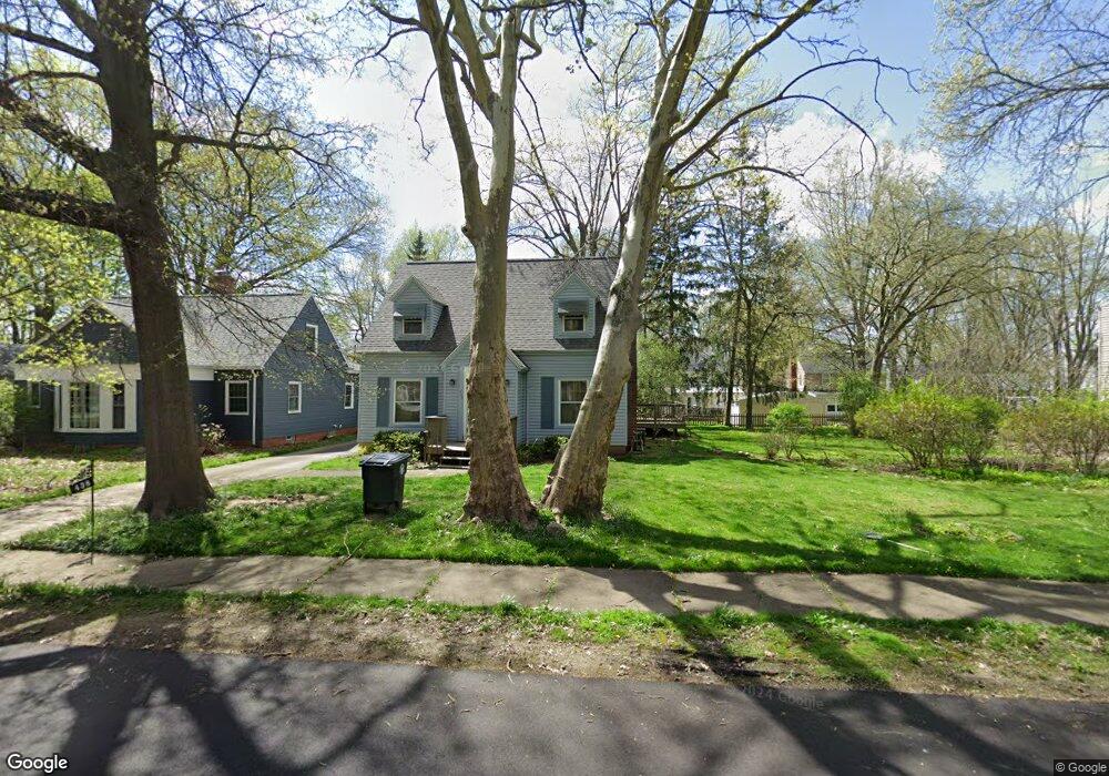
438 Auburndale Ave Akron, OH 44313
Northwest Akron NeighborhoodEstimated Value: $219,070 - $248,000
3
Beds
2
Baths
864
Sq Ft
$265/Sq Ft
Est. Value
About This Home
This home is located at 438 Auburndale Ave, Akron, OH 44313 and is currently estimated at $229,018, approximately $265 per square foot. 438 Auburndale Ave is a home located in Summit County with nearby schools including Case Community Learning Center, Our Lady Of The Elms Elementary School, and St. Sebastian Parish School.
Ownership History
Date
Name
Owned For
Owner Type
Purchase Details
Closed on
Jan 22, 2004
Sold by
Scheu John
Bought by
Scheu John and Scheu Mary
Current Estimated Value
Purchase Details
Closed on
Jan 2, 2004
Sold by
Estate Of Patricia L Scheu
Bought by
Scheu John
Create a Home Valuation Report for This Property
The Home Valuation Report is an in-depth analysis detailing your home's value as well as a comparison with similar homes in the area
Home Values in the Area
Average Home Value in this Area
Purchase History
| Date | Buyer | Sale Price | Title Company |
|---|---|---|---|
| Scheu John | -- | -- | |
| Scheu John | -- | -- |
Source: Public Records
Tax History Compared to Growth
Tax History
| Year | Tax Paid | Tax Assessment Tax Assessment Total Assessment is a certain percentage of the fair market value that is determined by local assessors to be the total taxable value of land and additions on the property. | Land | Improvement |
|---|---|---|---|---|
| 2025 | $2,842 | $62,661 | $18,046 | $44,615 |
| 2024 | $2,842 | $62,661 | $18,046 | $44,615 |
| 2023 | $2,842 | $62,661 | $18,046 | $44,615 |
| 2022 | $2,676 | $48,248 | $13,776 | $34,472 |
| 2021 | $2,679 | $48,248 | $13,776 | $34,472 |
| 2020 | $2,638 | $48,250 | $13,780 | $34,470 |
| 2019 | $2,748 | $46,190 | $15,900 | $30,290 |
| 2018 | $2,711 | $46,190 | $15,900 | $30,290 |
| 2017 | $2,754 | $46,190 | $15,900 | $30,290 |
| 2016 | $2,756 | $46,190 | $15,900 | $30,290 |
| 2015 | $2,754 | $46,190 | $15,900 | $30,290 |
| 2014 | $2,732 | $46,190 | $15,900 | $30,290 |
| 2013 | $2,686 | $46,330 | $15,900 | $30,430 |
Source: Public Records
Map
Nearby Homes
- 423 Foursome Ave
- 431 Molane Ave
- 1159 Garman Rd
- 237 Hollywood Ave
- 1249 Dewitt Dr
- 254 Castle Blvd
- 1056 Garman Rd
- 615 Reynolds Ave
- 297 Harcourt Dr
- 1449 Westvale Ave
- 1085 Winhurst Dr
- 869 Westgrove Rd
- 1485 W Market St
- 1036 Winhurst Dr
- 242 N Hawkins Ave
- 1041 Winhurst Dr
- 100 N Hawkins Ave
- 834 Eaton Park Ln
- 1529 Bryden Dr
- 1607 W Exchange St
- 446 Auburndale Ave
- 432 Auburndale Ave
- 407 Foursome Ave
- 426 Auburndale Ave
- 452 Auburndale Ave
- 403 Foursome Ave
- 411 Foursome Ave
- 397 Foursome Ave
- 441 Auburndale Ave
- 435 Auburndale Ave
- 417 Foursome Ave
- 393 Foursome Ave
- 456 Auburndale Ave
- 445 Auburndale Ave
- 431 Auburndale Ave
- 451 Auburndale Ave
- 1165 Greenvale Ave
- 1175 Greenvale Ave
- 455 Auburndale Ave
- 1185 Greenvale Ave