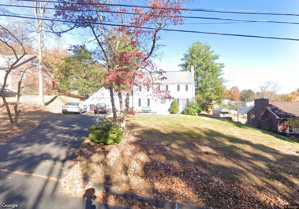
438 Blake Rd New Britain, CT 06053
Estimated Value: $349,008 - $394,000
3
Beds
2
Baths
1,807
Sq Ft
$204/Sq Ft
Est. Value
About This Home
This home is located at 438 Blake Rd, New Britain, CT 06053 and is currently estimated at $369,002, approximately $204 per square foot. 438 Blake Rd is a home located in Hartford County with nearby schools including Holmes School, Pulaski Middle School, and St. Francis of Assisi Middle School.
Ownership History
Date
Name
Owned For
Owner Type
Purchase Details
Closed on
Nov 24, 1999
Sold by
Est Politis Margaret and Scalise Robert A
Bought by
Cintron Axsel R and Irizarry Lorraine
Current Estimated Value
Home Financials for this Owner
Home Financials are based on the most recent Mortgage that was taken out on this home.
Original Mortgage
$131,950
Interest Rate
7.77%
Create a Home Valuation Report for This Property
The Home Valuation Report is an in-depth analysis detailing your home's value as well as a comparison with similar homes in the area
Home Values in the Area
Average Home Value in this Area
Purchase History
| Date | Buyer | Sale Price | Title Company |
|---|---|---|---|
| Cintron Axsel R | $138,900 | -- |
Source: Public Records
Mortgage History
| Date | Status | Borrower | Loan Amount |
|---|---|---|---|
| Closed | Cintron Axsel R | $127,000 | |
| Closed | Cintron Axsel R | $131,950 |
Source: Public Records
Tax History
| Year | Tax Paid | Tax Assessment Tax Assessment Total Assessment is a certain percentage of the fair market value that is determined by local assessors to be the total taxable value of land and additions on the property. | Land | Improvement |
|---|---|---|---|---|
| 2025 | $7,224 | $184,380 | $56,560 | $127,820 |
| 2024 | $7,300 | $184,380 | $56,560 | $127,820 |
| 2023 | $7,058 | $184,380 | $56,560 | $127,820 |
| 2022 | $6,085 | $122,920 | $26,040 | $96,880 |
| 2021 | $6,085 | $122,920 | $26,040 | $96,880 |
| 2020 | $6,207 | $122,920 | $26,040 | $96,880 |
| 2019 | $6,207 | $122,920 | $26,040 | $96,880 |
| 2018 | $6,207 | $122,920 | $26,040 | $96,880 |
| 2017 | $6,154 | $121,870 | $23,800 | $98,070 |
| 2016 | $6,154 | $121,870 | $23,800 | $98,070 |
| 2015 | $5,972 | $121,870 | $23,800 | $98,070 |
| 2014 | $5,972 | $121,870 | $23,800 | $98,070 |
Source: Public Records
Map
Nearby Homes
- 89 Hazelmere Rd
- 1634 Stanley St
- 53 Park Dr
- 45 Tunxis St
- 497 Commonwealth Ave
- 482 Commonwealth Ave
- 182 Francis St
- 57 Merigold Dr
- 432 Mcclintock St
- 678 Farmington Ave
- 227 Amherst St
- 169 Country Club Rd
- 24 Pentlow Ave
- 337 Allen St
- 154 Allen St
- 1320 Stanley St
- 21 Skipper St
- 1235 East St Unit B
- 138 Bradford Walk Unit 138
- 45 Atlantic St Unit C
Your Personal Tour Guide
Ask me questions while you tour the home.