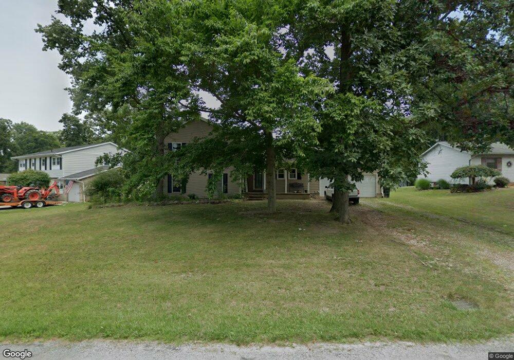
438 Briarcliff Ave Alliance, OH 44601
Estimated Value: $223,000 - $267,115
3
Beds
3
Baths
2,016
Sq Ft
$123/Sq Ft
Est. Value
About This Home
This home is located at 438 Briarcliff Ave, Alliance, OH 44601 and is currently estimated at $247,529, approximately $122 per square foot. 438 Briarcliff Ave is a home located in Stark County with nearby schools including Marlington High School and Regina Coeli/St Joseph School.
Ownership History
Date
Name
Owned For
Owner Type
Purchase Details
Closed on
Mar 31, 2006
Sold by
Rasmussen Randy S and Rasmussen Cindy L
Bought by
Cracknell Jody L and Wright Christopher A
Current Estimated Value
Home Financials for this Owner
Home Financials are based on the most recent Mortgage that was taken out on this home.
Original Mortgage
$142,500
Outstanding Balance
$98,230
Interest Rate
10.12%
Mortgage Type
Stand Alone First
Estimated Equity
$149,299
Purchase Details
Closed on
Jun 14, 1996
Sold by
Reed Michael G
Bought by
Rasmussen Randy S and Rasmussen Cindy
Home Financials for this Owner
Home Financials are based on the most recent Mortgage that was taken out on this home.
Original Mortgage
$73,500
Interest Rate
8.05%
Mortgage Type
New Conventional
Purchase Details
Closed on
Feb 28, 1992
Create a Home Valuation Report for This Property
The Home Valuation Report is an in-depth analysis detailing your home's value as well as a comparison with similar homes in the area
Home Values in the Area
Average Home Value in this Area
Purchase History
| Date | Buyer | Sale Price | Title Company |
|---|---|---|---|
| Cracknell Jody L | $142,500 | First American Title | |
| Rasmussen Randy S | $99,900 | -- | |
| -- | $60,000 | -- |
Source: Public Records
Mortgage History
| Date | Status | Borrower | Loan Amount |
|---|---|---|---|
| Open | Cracknell Jody L | $142,500 | |
| Closed | Rasmussen Randy S | $73,500 |
Source: Public Records
Tax History Compared to Growth
Tax History
| Year | Tax Paid | Tax Assessment Tax Assessment Total Assessment is a certain percentage of the fair market value that is determined by local assessors to be the total taxable value of land and additions on the property. | Land | Improvement |
|---|---|---|---|---|
| 2025 | -- | $78,550 | $17,610 | $60,940 |
| 2024 | -- | $78,550 | $17,610 | $60,940 |
| 2023 | $1,791 | $50,860 | $12,390 | $38,470 |
| 2022 | $1,798 | $50,860 | $12,390 | $38,470 |
| 2021 | $1,803 | $50,860 | $12,390 | $38,470 |
| 2020 | $1,731 | $43,510 | $10,680 | $32,830 |
| 2019 | $1,719 | $43,510 | $10,680 | $32,830 |
| 2018 | $1,722 | $43,510 | $10,680 | $32,830 |
| 2017 | $1,520 | $35,950 | $6,020 | $29,930 |
| 2016 | $1,482 | $35,040 | $5,810 | $29,230 |
| 2015 | $1,410 | $35,040 | $5,810 | $29,230 |
| 2014 | $1,571 | $35,640 | $5,920 | $29,720 |
| 2013 | $781 | $35,640 | $5,920 | $29,720 |
Source: Public Records
Map
Nearby Homes
- 0 W Main St Unit 5090123
- 565 W Broadway St
- 1038 Fairview Place
- 734 Parkway Blvd
- 725 W Summit St
- 970 Kingsway St
- 896 Parkway Blvd
- 432 Johnson Ave
- 1201 Overlook Dr
- 645 W Summit St
- 738 Kingsway St
- 345 W Market St
- 1321 Parkway Blvd
- 000 Klinger Ave
- 329 1/2 W Main St
- 511 W Ely St
- 132 S Haines Ave
- 163 W Market St
- 140 W Summit St
- 1515 S Rockhill Ave
- 414 Briarcliff Ave
- 462 Briarcliff Ave
- 1374 W Broadway St
- 477 Briarcliff Ave
- 482 Briarcliff Ave
- 1364 W Broadway St
- 1389 W Broadway St
- 421 Briarcliff Ave
- 421 Briarcliff Ave
- 453 Cobblestone Ave NE
- 1373 W Broadway St
- 361 Briarcliff Ave
- 455 Cobblestone Ave NE Unit 455
- 423 Cobblestone Ave NE
- 479 Cobblestone Ave NE
- 1363 W Broadway St
- 543 Briarcliff Ave
- 316 Briarcliff Ave
- 507 Cobblestone Ave NE
- 319 Briarcliff Ave